geo.wikisort.org - River
The River Sem is a natural waterway that flows through the ceremonial county of Wiltshire in England. It flows approximately 4+1⁄4 miles (7 km) from its source near East Knoyle to join the River Nadder near Wardour.[1]
| River Sem | |
|---|---|
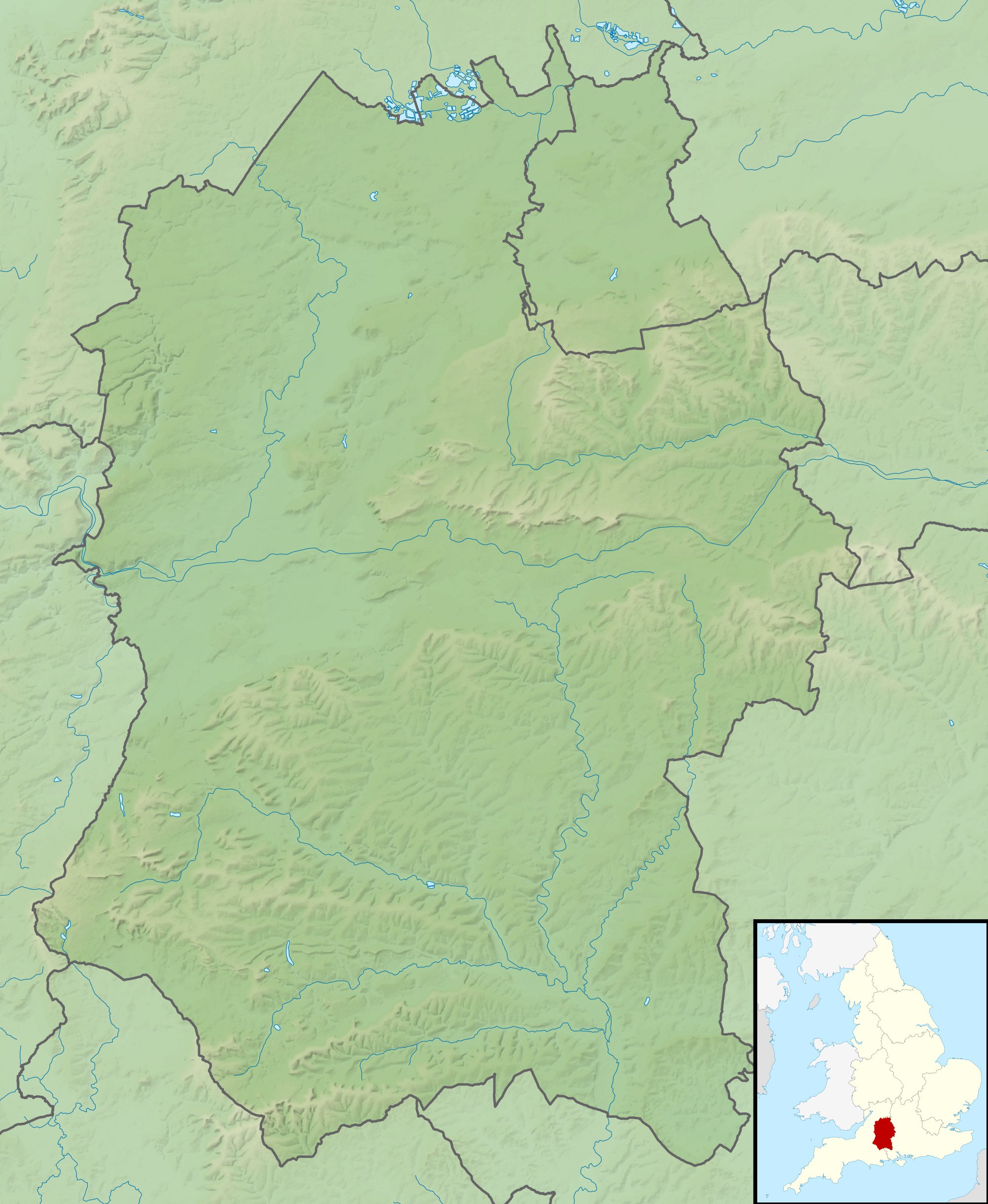 Location of the mouth within Wiltshire | |
| Location | |
| Country | United Kingdom |
| Region | Wiltshire |
| Physical characteristics | |
| Source | |
| • location | East Knoyle, Wiltshire, England |
| • coordinates | 51.0737°N 2.1678°W |
| Mouth | |
• location | Wardour, Wiltshire, England |
• coordinates | 51.045790°N 2.110142°W |
• elevation | 98 m (322 ft) |
| Length | 7.03 km (4.37 mi) |
| Basin size | 25.6 km2 (9.9 sq mi) |
Course
The source is Summerleaze Pond near East Knoyle, just east of the A350. The river flows southeast to Pondhead Copse, below which it flows through two large ponds: Brach Pond and Eeelstage Pond. It then turns east and flows under Savage Bridge and Share Lane before reaching the Nadder, northwest of Wardour.
Tributaries
The river is fed by several small waterways. On its south bank, a stream with a source near Whitebridge Farm southeast of Sedgehill, again close to the A350, flows east to join the Sem near Billhay Farm, above Pondhead Copse.
Also on the south bank, it is fed by a stream that has its source in Bennet's Copse near Hart Hill Stud Farm; this stream flows northeast through Sem Hill and Billhay Pond before joining the Sem at Pondhead Copse.
Geology
The underlying geology is that of Kimmeridge Clay overlaying Limestone. Faults between the two layers give rise to the springs that provide the source of the water for the river catchment.[2]
Water quality
The Environment Agency measures the water quality of the river systems in England. Each is given an overall ecological status, which may be one of five levels: high, good, moderate, poor and bad. There are several components that are used to determine this, including biological status, which looks at the quantity and varieties of invertebrates, angiosperms and fish. Chemical status, which compares the concentrations of various chemicals against known safe concentrations, is rated good or fail.[3]
Water quality of the River Sem in 2019:
| Section | Ecological Status | Chemical Status | Overall Status | Length | Catchment | Channel |
|---|---|---|---|---|---|---|
| Sem[4] | Moderate | Fail | Moderate | 7.027 km (4.366 mi) | 25.628 km2 (9.895 sq mi) |
References
- "Sem". Catchment Data Explorer. Environment Agency. Retrieved 25 October 2017.
- "Hamphsire Avon Demonstration Test Catchment Project". Retrieved 16 October 2017.
- "Glossary (see Biological quality element; Chemical status; and Ecological status)". Catchment Data Explorer. Environment Agency. 17 February 2016.
 Text was copied from this source, which is available under an Open Government Licence v3.0. © Crown copyright.
 - "Sem". Catchment Data Explorer. Environment Agency.
England Portal | |
| Unitary authorities |
|
| Major settlements |
|
| Rivers | |
| Topics |
|
Другой контент может иметь иную лицензию. Перед использованием материалов сайта WikiSort.org внимательно изучите правила лицензирования конкретных элементов наполнения сайта.
WikiSort.org - проект по пересортировке и дополнению контента Википедии