geo.wikisort.org - River
Powder River is a tributary of the Yellowstone River, approximately 375 miles (604 km) long in northeastern Wyoming and southeastern Montana in the United States. Combined with its tributary, the South Fork Powder River, it is 550 miles long. It drains an area historically known as the Powder River Country on the high plains east of the Bighorn Mountains.
| Powder River | |
|---|---|
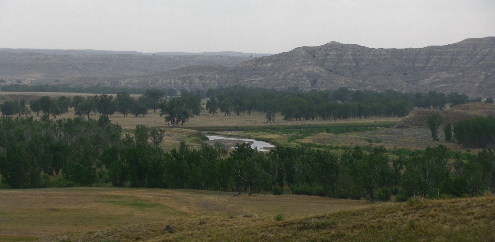 A view of the Powder River in northern Wyoming | |
 Map of the Powder River basin | |
| Location | |
| Country | United States |
| State | Wyoming, Montana |
| Physical characteristics | |
| Source | Confluence of Middle Fork and North Fork |
| • location | Near Kaycee, Wyoming |
| • coordinates | 43°40′30″N 106°30′45″W[1] |
| • elevation | 4,564 ft (1,391 m) |
| Mouth | Yellowstone River |
• location | Near Terry, Montana |
• coordinates | 46°44′00″N 105°26′02″W[1] |
• elevation | 2,241 ft (683 m) |
| Length | 375 mi (604 km) |
| Basin size | 21,875 sq mi (56,660 km2) |
| Discharge | |
| • location | Locate, MT |
| • average | 558 cu ft/s (15.8 m3/s) |
| • minimum | 0 cu ft/s (0 m3/s) |
| • maximum | 31,000 cu ft/s (880 m3/s) |
| Basin features | |
| Tributaries | |
| • left | Crazy Woman Creek, Clear Creek, Mizpah Creek |
| • right | Wild Horse Creek (Wyoming), Little Powder River |
It rises in three forks in north central Wyoming. The North and Middle forks rise along the eastern slope of the Bighorn Mountains. The South Fork rises on the southern slopes of the Bighorn Mountains west of Casper. The three forks meet on the foothills east of the Bighorns near the town of Kaycee. The combined stream flows northward, east of the Bighorns, and into Montana. It is joined by the Little Powder near the town of Broadus, and joins the Yellowstone approximately 50 miles (80 km) downriver from Miles City, Montana. The Powder River was so named (in the English language as well as in local indigenous languages) because the sand along a portion of its banks resembles powder or dust.[2][3]
See also
- Powder River Country
- Fort McKinney (Wyoming)
- List of Wyoming rivers
- List of rivers of Montana
- Montana Stream Access Law
Notes
- "Powder River". Geographic Names Information System. United States Geological Survey, United States Department of the Interior.
- Urbanek, Mae (1988). Wyoming Place Names. Missoula, MT: Mountain Press Publishing Company. ISBN 0-87842-204-8.
- Chicago and North Western Railway Company (1908). A History of the Origin of the Place Names Connected with the Chicago & North Western and Chicago, St. Paul, Minneapolis & Omaha Railways. p. 115.
Helena (capital) | |
| Topics |
|
| Society |
|
| Regions |
|
| Largest cities | |
| Counties |
|
Cheyenne (capital) | |
| Topics |
|
| Society |
|
| Regions |
|
| Cities | |
| Counties | |
Authority control | |
|---|---|
| General |
|
| National libraries | |
На других языках
[de] Powder River (Yellowstone River)
Der Powder River ist ein 603 Kilometer langer Nebenfluss des Yellowstone River im südöstlichen Montana und im nordöstlichen Wyoming. Den Namen Powder River (Pulver-Fluss) bekam er, weil die Sandbänke am Fluss Schießpulver ähneln.- [en] Powder River (Wyoming and Montana)
[es] Río Powder
El río Powder (en inglés, Powder River, que significa «río Polvo» o «río del Polvo») es un río del noroeste de los Estados Unidos, uno de los principal afluentes del río Yellowstone que discurre por la parte central de la vertiente oriental de las Montañas Rocosas. Tiene una longitud de 604 km, que lo sitúan entre los 70 ríos más largos de los Estados Unidos.[it] Fiume Powder
Il fiume Powder (in inglese Powder River, Páae-óˀheˀe nella lingua Cheyenne) è un fiume degli Stati Uniti d'America che scorre nel versante orientale delle Montagne Rocciose, nel nord-est del Wyoming e nel sud-est del Montana. Il fiume, che è lungo 604 km, drena un'area storicamente conosciuta come la regione del fiume Powder ed è uno dei principali affluenti del fiume Yellowstone.[ru] Паудер (приток Йеллоустона)
Пау́дер[2][3] (англ. Powder River) — река в штатах Вайоминг и Монтана на Западе США, правый приток реки Йеллоустон. Протекает через территорию округов Прери, Кастер, Паудер-Ривер, Кэмпбелл, Шеридан и Джонсон. Длина составляет 604 км (375 миль)[1]. Площадь бассейна реки — около 56 656 км². Расход воды — 16 м³/с.[источник не указан 21 день]Другой контент может иметь иную лицензию. Перед использованием материалов сайта WikiSort.org внимательно изучите правила лицензирования конкретных элементов наполнения сайта.
WikiSort.org - проект по пересортировке и дополнению контента Википедии