geo.wikisort.org - River
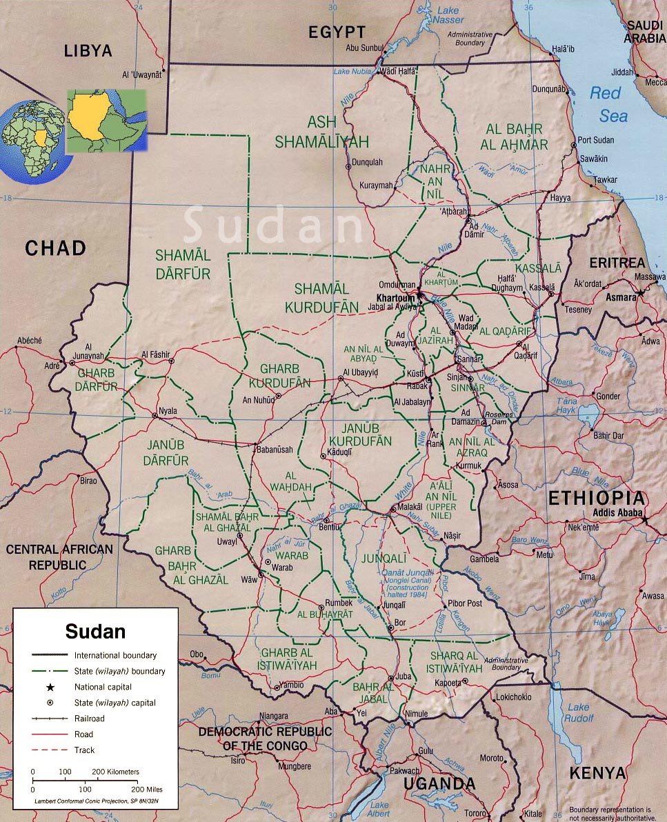
The Pongo River is a stream in the South Sudanese state of Northern Bahr el Ghazal. It is a right tributary of the Lol River.
| Pongo River | |
|---|---|
 | |
| Location | |
| Country | South Sudan |
| State | Western Bahr el Ghazal |
| Physical characteristics | |
| Source | |
| • coordinates | 7.0314°N 26.6913°E |
| Mouth | Lol River |
• coordinates | 8.9422°N 28.1498°E |
Course
The Pongo rises in the south of Western Bahr el Ghazal. It flows in a north northeast direction into Western Bahr el Ghazal, and passes to the east of Malek Alei. The river branches, with one branch flowing north to join the Lol River around 8.8619°N 27.6178°E while the longer main branch flows northeast and then east to the south of Akon before turning northeast to join the Lol River.[1]
See also
External links
- "Western Bahr el Ghazal State Map (as of Dec 2016)" (PDF), ReliefWeb, OCHA, retrieved 2020-12-16
Текст в блоке "Читать" взят с сайта "Википедия" и доступен по лицензии Creative Commons Attribution-ShareAlike; в отдельных случаях могут действовать дополнительные условия.
Другой контент может иметь иную лицензию. Перед использованием материалов сайта WikiSort.org внимательно изучите правила лицензирования конкретных элементов наполнения сайта.
Другой контент может иметь иную лицензию. Перед использованием материалов сайта WikiSort.org внимательно изучите правила лицензирования конкретных элементов наполнения сайта.
2019-2026
WikiSort.org - проект по пересортировке и дополнению контента Википедии
WikiSort.org - проект по пересортировке и дополнению контента Википедии