geo.wikisort.org - River
The Pisuerga is a river in northern Spain, the Duero's second largest tributary. It rises in the Cantabrian Mountains in the province of Palencia, autonomous region of Castile and León. Its traditional source is called Fuente Cobre, but it has been discovered that the real source is a glacier higher in the mountains. The river flows south into the Douro river shortly after passing through the city of Valladolid. Its length is approximately 270 kilometres (170 mi).
This article may be expanded with text translated from the corresponding article in Spanish. (July 2015) Click [show] for important translation instructions.
|
| Pisuerga | |
|---|---|
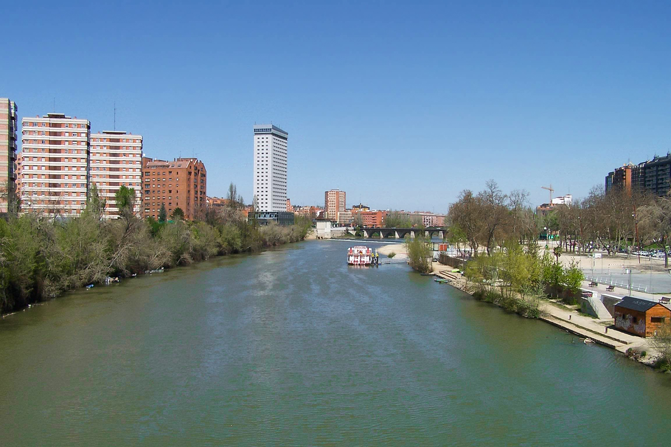 The Pisuerga passing through Valladolid. | |
 | |
| Location | |
| Country | Spain |
| Region | |
| Physical characteristics | |
| Source | |
| • location | Cantabrian Mountains |
| • elevation | 1,800 m (5,900 ft) |
| Mouth | |
• elevation | 678 m (2,224 ft) |
| Length | 283 km (176 mi) |
| Discharge | |
| • average | 2,586 million cubic metres per year (81.9 m3/s; 2,894 cu ft/s)[1] |
| Basin features | |
| Progression | Douro→ Atlantic Ocean |
Since the 1950s the water level of the river has been very regular throughout the year due to the huge Aguilar de Campoo dam which collects all the water from the river's rainy upper valleys. This regulation has allowed the creation of vast extensions of irrigated farmland along the Pisuerga's course across the northern Castilian plain.
In Spanish culture
The Spanish phrase "aprovechando que el Pisuerga pasa por Valladolid" ("And now since Pisuerga crosses Valladolid...") is a popular way to point or acknowledge a non sequitur since the river has no bearing with the following "consequence".
See also
References
- "Archived copy" (PDF). www.cervantesvirtual.com. Archived from the original (PDF) on 24 September 2015. Retrieved 22 May 2022.
{{cite web}}: CS1 maint: archived copy as title (link)
Authority control | |
|---|---|
| General |
|
| National libraries | |
This article about a location in the province of Valladolid, Spain is a stub. You can help Wikipedia by expanding it. |
На других языках
[de] Pisuerga
Der ca. 288 km lange Río Pisuerga ist ein Fluss in den Provinzen Palencia und Valladolid im Norden Spaniens; er ist der zweitgrößte Zufluss des Duero.- [en] Pisuerga
[it] Pisuerga
Il Pisuerga è un fiume della Spagna settentrionale, secondo maggior affluente del Duero.[ru] Писуэрга
Писуэ́рга (исп. Pisuerga) — река на севере Испании, второй по величине приток Дуэро. Длина реки составляет 283 км, площадь водосборного бассейна — 15 828 км². Средний расход воды около 70 м³/с[1].Другой контент может иметь иную лицензию. Перед использованием материалов сайта WikiSort.org внимательно изучите правила лицензирования конкретных элементов наполнения сайта.
WikiSort.org - проект по пересортировке и дополнению контента Википедии