geo.wikisort.org - River
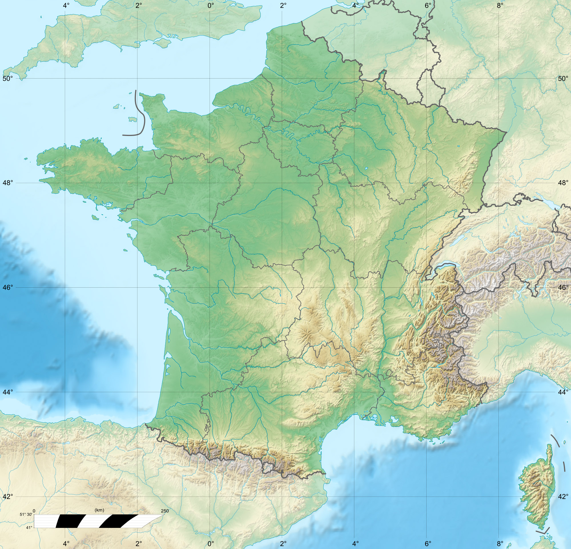
The Olhadoko erreka is a torrential river of the French Basque Country (Pyrénées-Atlantiques), in the Southwest of France, that flows through the Holtzarte Canyon. It is 9.2 km (5.7 mi) long.[1]
| Olhadoko erreka | |
|---|---|
   | |
| Location | |
| Country | France |
| Physical characteristics | |
| Source | |
| • location | Pic d'Orhy |
| • coordinates | 42°59′17″N 0°57′29″W |
| • elevation | 1,600 m (5,200 ft) |
| Mouth | |
• location | Gave de Larrau |
• coordinates | 43°1′4″N 0°55′38″W |
| Length | 9.2 km (5.7 mi) |
| Basin features | |
| Progression | Gave de Larrau→ Saison→ Gave d'Oloron→ Gaves réunis→ Adour→ Atlantic Ocean |
After joining the Zurkaitzegiko erreka downstream from Larrau, it forms the Gave de Larrau (the upper course of the Saison).
The Olhadoko erreka is formed at the Olhadoko Dam, from the:
- Bagosudurreko erreka, from Sakhondoa,
- Zitziratzeko erreka, from Üthürzeheta and Zitziratzea,
- Betzulako erreka from the Betzula valley.
Then it is reinforced by the:
- (R) Ardaneko erreka,
- (L) Uztarbeko erreka,
- (R) Olhadübiko erreka.
References
Текст в блоке "Читать" взят с сайта "Википедия" и доступен по лицензии Creative Commons Attribution-ShareAlike; в отдельных случаях могут действовать дополнительные условия.
Другой контент может иметь иную лицензию. Перед использованием материалов сайта WikiSort.org внимательно изучите правила лицензирования конкретных элементов наполнения сайта.
Другой контент может иметь иную лицензию. Перед использованием материалов сайта WikiSort.org внимательно изучите правила лицензирования конкретных элементов наполнения сайта.
2019-2026
WikiSort.org - проект по пересортировке и дополнению контента Википедии
WikiSort.org - проект по пересортировке и дополнению контента Википедии