geo.wikisort.org - River
The Olentangy River /oʊlənˈtændʒi/ is a 97-mile-long (156 km)[5] tributary of the Scioto River in Ohio, United States.
| Olentangy River | |
|---|---|
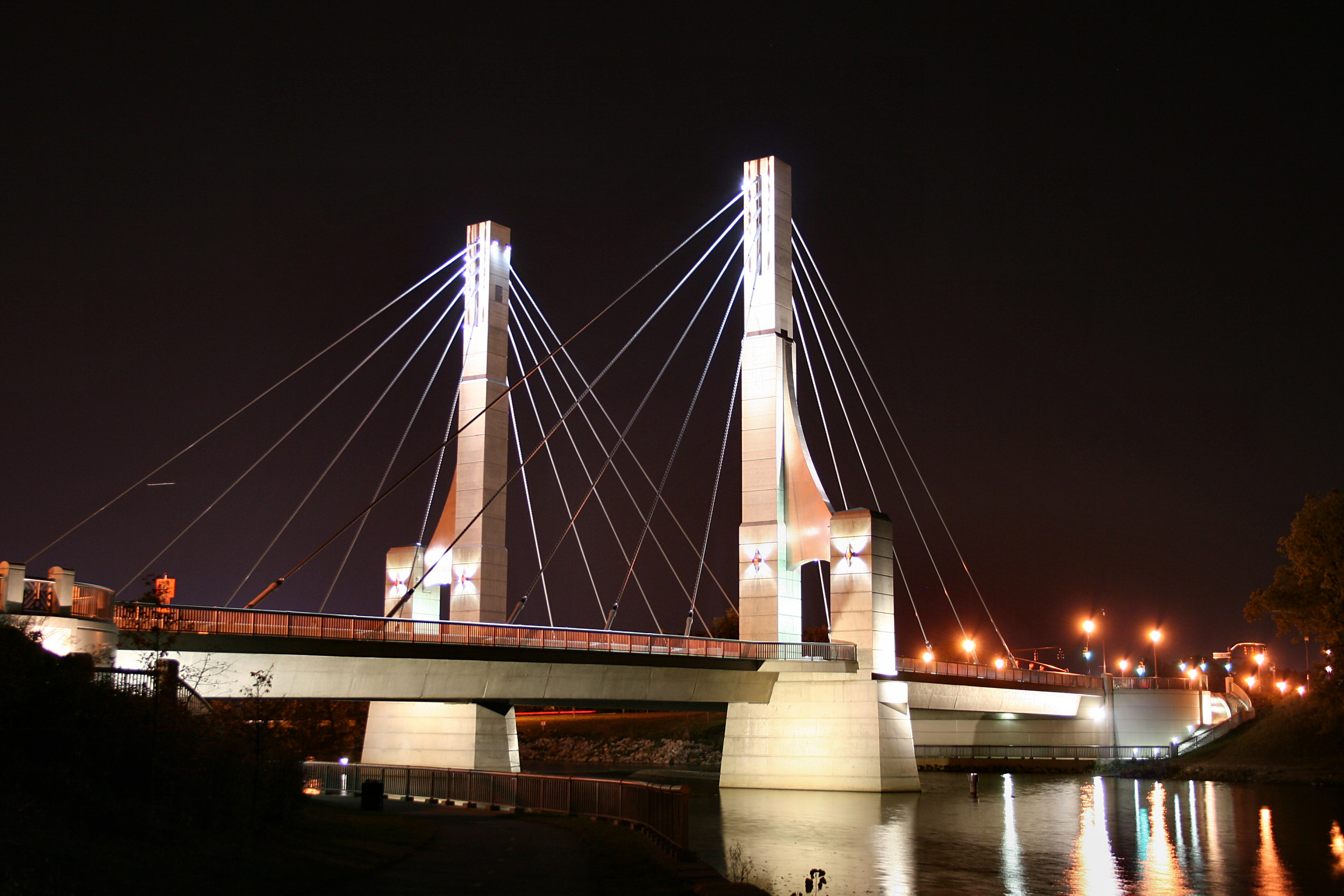
 State Route 315 passing over the Olentangy in Columbus in 2018 | |
| Physical characteristics | |
| Source | |
| • location | Approximately 2 mi (3.2 km) southeast of Galion, Ohio |
| • elevation | 1,190 ft (360 m)[1] |
| Mouth | |
• location | Scioto River at Columbus |
• elevation | 710 ft (220 m)[2] |
| Basin size | 543 sq mi (1,410 km2)[3] |
| Discharge | |
| • location | J. H. Herrick Drive, Columbus |
| • average | 789.1 cu ft/s (22.34 m3/s), USGS water years 2015-2019[4] |

History
It was originally called keenhongsheconsepung, a Delaware word literally translated as "sharp tool river", based on the shale found along its shores. Early settlers to the region translated this into "Whetstone River". In 1833, the Ohio General Assembly passed legislation intending to restore the original Native American names to some Ohio waterways, but mistakenly gave Whetstone River the name "Olentangy"—Delaware for "river of the red face paint"—which had actually belonged to what is now known as Big Darby Creek.[6]
Geography
The Olentangy River rises in Morrow County approximately 2 mi (3.2 km) southeast of Galion, near Blooming Grove, flowing through Galion and northwest towards Bucyrus, where it then turns south and flows through Eastern Marion County, Ohio (where it is still locally known as the Whetstone River) before flowing south into Delaware County. The river continues southward towards the communities of Delaware, Powell, Worthington, and the village of Riverlea, before reaching Columbus and the campus of Ohio State University, before joining with the Scioto River in downtown Columbus.
The Delaware State Park Reservoir, also known as Delaware Lake, was constructed along the Olentangy River in 1951. The reservoir is located 5 miles north of the city of Delaware, and was built by the U.S. Army Corps of Engineers for flood control purposes. On 13 January 2005, Delaware Dam was nearly overtopped. The water level came within less than 1 foot of the top of the dam, requiring the main spill gates to be opened before it began dropping.[7]
The Olentangy River is the primary source of drinking water for much of Delaware County. Both the City of Delaware and Del-Co Water Company, the supplier of drinking water to most of rural Delaware County (and other communities beyond), draw the majority of their water supplies from the Olentangy system.
Twenty-two miles of the Olentangy have been designated a State Scenic River by the Ohio Department of Natural Resources, Division of Natural Areas & Preserves.[8]
Variant names
The Olentangy River has also been known as Keenhongsheconsepung, Oleutangy, Whetstone Creek, Whetstone River, and Whitestone Creek.[9]
River restoration
In 2012 the Ohio EPA and the City of Columbus began to remove some of the lowhead dams that cross the river. Work started with removing the 5th Avenue Dam. The river is now about half of its former width. Work continues to restore the banks and clean the area.[10][11][12][13]
Popular culture
Broadcaster Keith Jackson would introduce Ohio State football games "from the banks of the mighty Olentangy."[14]
See also
References
- U.S. Geological Survey. Blooming Grove quadrangle, Ohio. 1:24,000. 7.5 Minute Series. Washington D.C.: USGS, 1988.
- U.S. Geological Survey. Southwest Columbus quadrangle, Ohio. 1:24,000. 7.5 Minute Series. Washington D.C.: USGS, 1995.
- "Map of Ohio watersheds". Archived from the original on 11 March 2007.
- "USGS Water-Year Summary for Site 03227107". waterdata.usgs.gov. Retrieved 16 July 2020.
- "The National Map". U.S. Geological Survey. Retrieved 14 February 2011.
- Lentz, Ed. "Local river names have convoluted origin". This Week Community Newspapers. Retrieved 16 October 2018.
- "Delaware Dam nearly overtopped on January 13, 2005".
- "Olentangy State Scenic River".
- U.S. Geological Survey Geographic Names Information System: Olentangy River
- "Removing the Fifth Avenue Dam". Retrieved 30 January 2017.
- "5th Ave Dam Project". Retrieved 30 January 2017.
- EPA, OW, US (20 February 2015). "Polluted Runoff: Nonpoint Source Pollution" (PDF). Retrieved 30 January 2017.
- "Archived copy" (PDF). Archived from the original (PDF) on 24 December 2012. Retrieved 16 July 2014.
{{cite web}}: CS1 maint: archived copy as title (link) - "Jackson's Last Call". Chicago Tribune. Retrieved 2 August 2017.
External links
- Olentangy Watershed Alliance
- Friends of the Lower Olentangy Watershed
- Delaware Dam level and outflow graph
- Olentangy River Level Gauge at Worthington, OH
На других языках
[de] Olentangy River
Der Olentangy River ist der größte linke Nebenfluss des Scioto River im US-Bundesstaat Ohio.- [en] Olentangy River
Другой контент может иметь иную лицензию. Перед использованием материалов сайта WikiSort.org внимательно изучите правила лицензирования конкретных элементов наполнения сайта.
WikiSort.org - проект по пересортировке и дополнению контента Википедии