geo.wikisort.org - River
The Mera (Lombard: Maira) is a river in Switzerland and Italy. Its source is near the Piz Mungiroi, in the Grisons, Switzerland. First, it flows east in the direction to Maloja Pass, then turns west through the Val Bregaglia (German: Bergell) and crosses the border to Italy in Castasegna (Dogana). It is joined by the Acquafraggia close to Piuro, and then turns south at Chiavenna, just before it receives the river Liro from the right at Prata Camportaccio. The Mera ends in Lake Como, near Sorico in the Province of Como.[1]
This article uses bare URLs, which are uninformative and vulnerable to link rot. (September 2022) |
| Mera | |
|---|---|
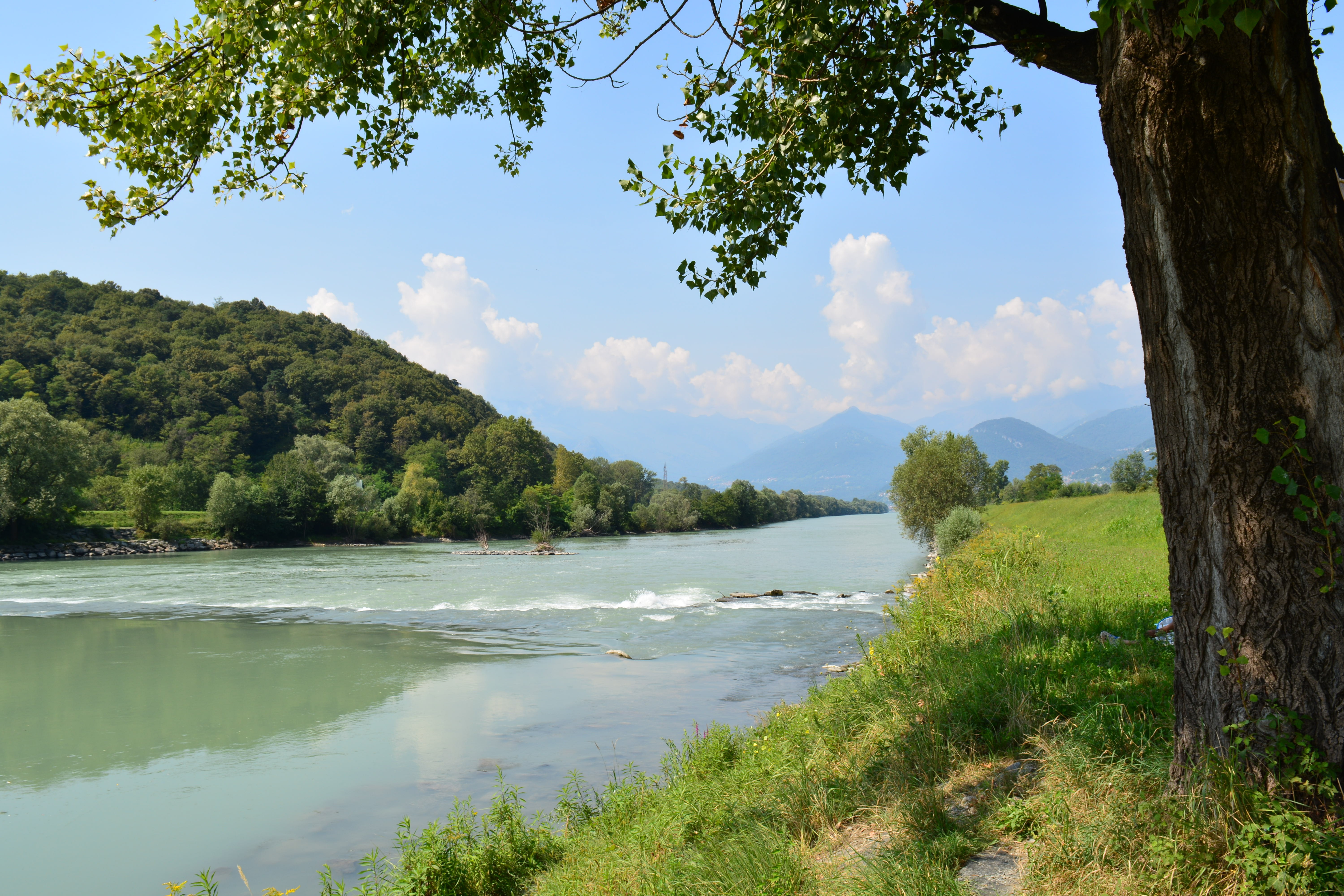
 The Mera above Villa di Chiavenna | |
| Location | |
| Country | Switzerland Italy |
| Physical characteristics | |
| Source | |
| • location | Mungiroi, Grisons, Switzerland |
| • coordinates | 46.3944°N 9.5728°E |
| • elevation | 2,849 m (9,347 ft) |
| Mouth | |
• location | Lake Como at Gera Lario |
• coordinates | 46.1668°N 9.3751°E |
• elevation | 197 m (646 ft) |
| Length | 50 km (31 mi) |
| Basin features | |
| Progression | Lake Como→ Adda→ Po→ Adriatic Sea |
| Tributaries | |
| • right | Acquafraggia, Liro |
References
External links
![]() Media related to Mera at Wikimedia Commons
Media related to Mera at Wikimedia Commons
| ||
| Settlements |
|  |
| Islands | ||
| Rivers | ||
| Valleys |
| |
| Mountains | ||
| Landmarks |
| |
| Films | ||
| People |
| |
| Authority control: National libraries |
|---|
This Graubünden location article is a stub. You can help Wikipedia by expanding it. |
This article on a location in the Province of Sondrio is a stub. You can help Wikipedia by expanding it. |
На других языках
[de] Mera
Die Mera (in der Schweiz auch im Dialekt des Bergells, dem „Bregagliott“, Maira genannt) ist ein rund 50 Kilometer langer Fluss in der Schweiz und in Italien. Sie durchfließt die Talschaft Bergell.- [en] Mera (Lake Como)
[it] Mera (fiume)
La Mera (chiamata anche Maira in territorio svizzero) è un fiume che scorre in Svizzera e in Italia dalla lunghezza di circa 50 km.[2][ru] Мера (река, впадает в Комо)
Мера[1] (итал. Mera) — река в Швейцарии и Италии. Длина реки — 57 км, из которых 37 приходится на итальянскую территорию[2]. Площадь водосборного бассейна — 757 км²[3].Другой контент может иметь иную лицензию. Перед использованием материалов сайта WikiSort.org внимательно изучите правила лицензирования конкретных элементов наполнения сайта.
WikiSort.org - проект по пересортировке и дополнению контента Википедии