geo.wikisort.org - River
The Mangatāwhiri River is a river of the Auckland and Waikato regions of New Zealand's North Island. It flows generally southwest from its sources in the Hunua Ranges southeast of Clevedon before flowing through a system of irrigation canals at the northern edge of the Waikato Plains close to the town of Pōkeno. It reaches the Waikato River close to the township of Mercer.
| Mangatāwhiri River | |
|---|---|
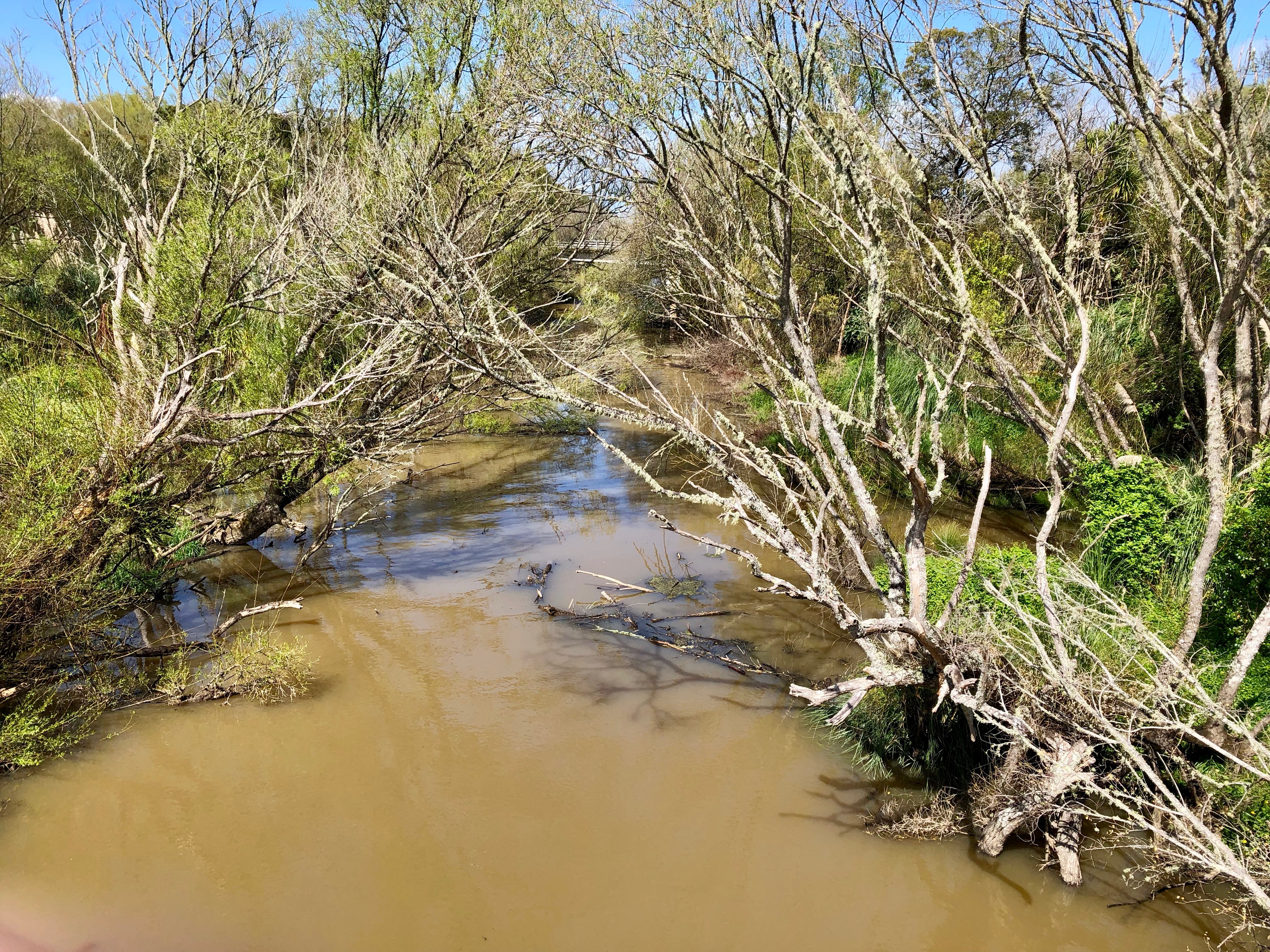 Mangatāwhiri River between the old and new Great South Rd bridges | |
| Location | |
| Country | New Zealand |
| Physical characteristics | |
| Mouth | |
• location | Waikato River |
| Length | 20 km (12 mi) |
| Basin size | 104 km2 (40 sq mi) |
The New Zealand Ministry for Culture and Heritage gives a translation of "Tāwhiri tree stream" for Mangatāwhiri.[1]
The upper reaches of the Mangatāwhiri are dammed to form reservoirs to store water for use by Auckland City.
History
Under the orders of Governor George Grey, it was here that on 12 July 1863 British troops marched over and declared war on the Māori, starting the Waikato Land Wars.
See also
References
- "1000 Māori place names". New Zealand Ministry for Culture and Heritage. 6 August 2019.
External links
- "Place name detail: Mangatawhiri River". New Zealand Gazetteer. New Zealand Geographic Board. Retrieved 25 August 2020.
- River flow at SH2 Bridge
- Water quality at Buckingham Bridge
- Photographs of Mangatawhiri River held in Auckland Libraries' heritage collections.
- Te Araroa long distance walkway, which is on the river stopbank for 5km
Другой контент может иметь иную лицензию. Перед использованием материалов сайта WikiSort.org внимательно изучите правила лицензирования конкретных элементов наполнения сайта.
WikiSort.org - проект по пересортировке и дополнению контента Википедии