geo.wikisort.org - River
The Makotuku River is a river of the west of New Zealand's North Island. It flows southwest from Tūroa ski field, on the slopes of Mount Ruapehu, and passes through the town of Raetihi before its confluence with the Mangawhero River. It has been affected by several lahars over the last 160,000 years.[1]
| Makotuku River | |
|---|---|
 Makotuku River at Raetihi | |
 | |
| Etymology | Maori meaning "white heron stream" |
| Native name | Mākōtuku (Māori) |
| Location | |
| Country | New Zealand |
| Region | Manawatū-Whanganui |
| District | Ruapehu District |
| Settlements | Horopito, Raetihi |
| Physical characteristics | |
| Source | Mount Ruapehu |
| • location | Sunset Ridge, Tūroa skifield |
| • coordinates | 39°18′7″S 175°31′44″E |
| • elevation | 1,700 metres (5,600 ft) |
| Mouth | Mangawhero River |
• coordinates | 39°28′8″S 175°18′4″E |
• elevation | 455 metres (1,493 ft) |
| Length | 40 km (25 mi) |
| Basin features | |
| Progression | Makotuku River → Mangawhero River → Whangaehu River |
| River system | Whangaehu River |
The New Zealand Ministry for Culture and Heritage gives a translation of "white heron stream" for Mākōtuku.[2]
Water quality
The long term e. coli rating for the river at Raetihi is poor.[3]
Water supply
Raetihi's drinking water comes from the river. In 2018 Veolia added activated carbon dosing, coagulation, flocculation, a lamella settler, filters and UV disinfection to the previous two settling ponds and chlorination, to minimise the effect of future pollution events.[4]
Oil spills
In December 1979 17,000 litres (3,700 imp gal; 4,500 US gal) of heating oil (diesel and kerosene) and, in September 2013, 19,000 l (4,200 imp gal; 5,000 US gal) of diesel spilt into the river at the Turoa ski field,[5] 27 km (17 mi) upstream. The 2013 leak required Raetihi to have 21 days of water supply from road tankers.[4] The leaks had impacts on mayflies, lichens, mosses, fish and whio.[5][6] Ruapehu Alpine Lifts Ltd was fined $300,000 for the 2013 spill.[7]
Hydro electricity
The 60kW[8] Raetihi hydro-electric scheme produces about 1.75 GWh (6.3 TJ) a year and was built in 1918, about 6 km (3.7 mi) north of Raetihi. Its water comes from the Makotuku River, Makara Stream, Makaraiti Stream and a tributary of Mangaone Stream. It has a head of 116 m (381 ft) from its headpond to its generator, near the Orautoha Stream.[9] The original generator remains in use.[10]
Makotuku River Walkway
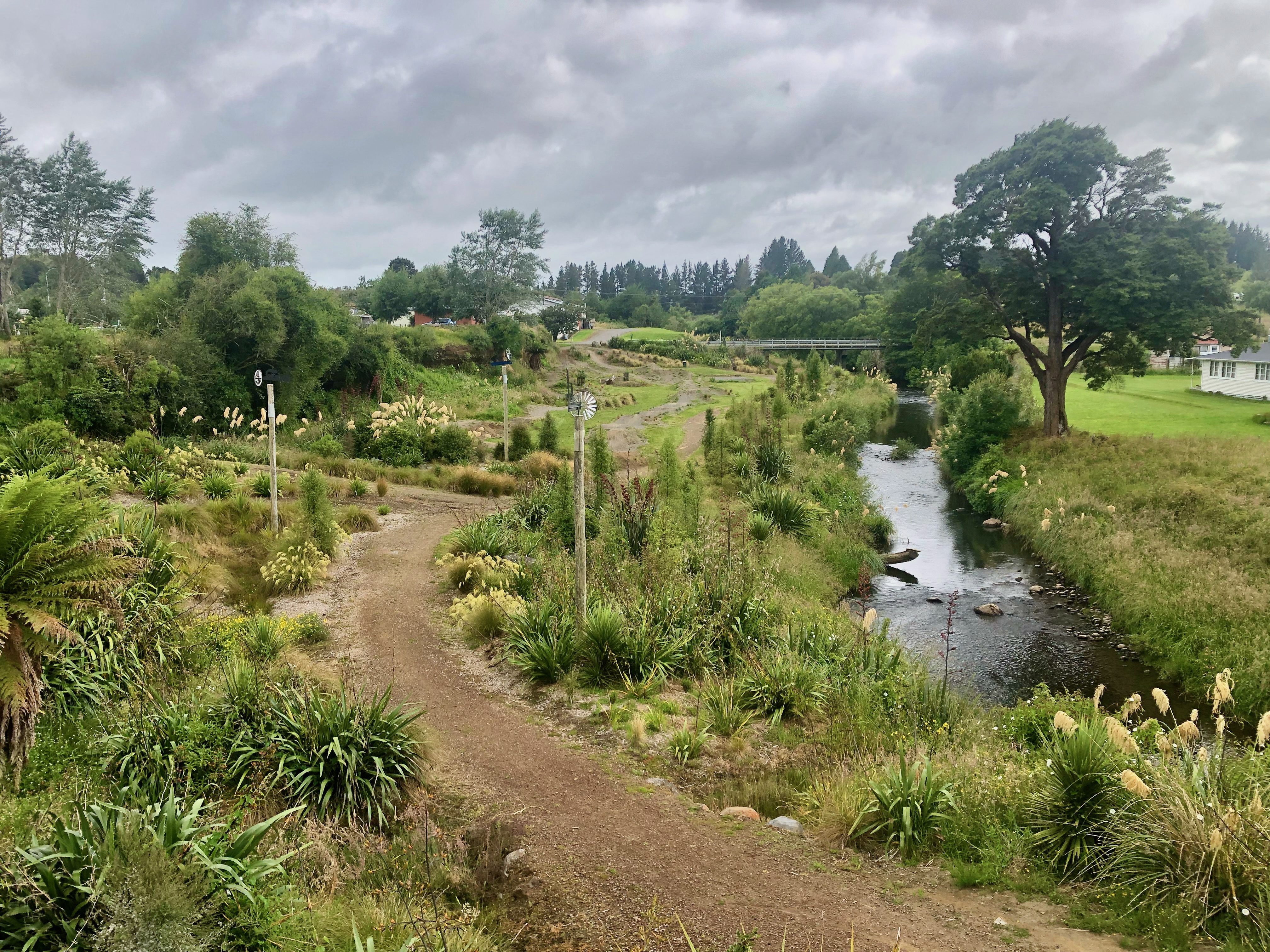
The 1.2 km (0.75 mi) Makotuku River Walkway was upgraded in 2021, with loop tracks on the east side of Raetihi.[11] Much of the funding for the work came from the compensation paid after the 2013 oil spill.[12]
See also
References
- Jerome A. Lecointre , Vincent E. Neall & Alan S. Palmer (1998). "Quaternary lahar stratigraphy of the western Ruapehu ring plain".
{{cite web}}: CS1 maint: url-status (link) - "1000 Māori place names". New Zealand Ministry for Culture and Heritage. 6 August 2019.
- "Makotuku River". Land, Air, Water Aotearoa (LAWA). Retrieved 22 December 2021.
- S. Chung, C. Wang and N. de Haan (Veolia), A.M. Westcott (Ruapehu DC). "RAETIHI WTP UPGRADE".
{{cite web}}: CS1 maint: multiple names: authors list (link) CS1 maint: url-status (link) - "Application for a Licence to operate the Turoa Ski Area" (PDF). DoC. 21 December 2015.
{{cite web}}: CS1 maint: url-status (link) - FRANCES B . MICHAELIS (1983). "Effect of Turoa oil spill on aquatic insects in the Mangawhero river system".
{{cite web}}: CS1 maint: url-status (link) - "$300,000 fine for Raetihi oil spill". RNZ. 6 November 2014. Retrieved 23 December 2021.
- "PUBLIC WORKS STATEMENT. BY THE HON. SIR WILLIAM FRASER. APPENDIX TO THE JOURNALS OF THE HOUSE OF REPRESENTATIVES, 1919". paperspast.natlib.govt.nz. Retrieved 23 December 2021.
{{cite web}}: CS1 maint: url-status (link) - "appeal from the decision of the Environment Court on the New Zealand Energy Limited applications for consents relating to the ongoing operation of the Raetihi Hydro Electric Power Scheme" (PDF). 7 December 2016.
{{cite web}}: CS1 maint: url-status (link) - "NZ Energy, Proposed Matiri Project New Zealand". www.nzenergy.co.nz. Retrieved 23 December 2021.
- "Makotuku River Walkway". 18 August 2021.
{{cite web}}: CS1 maint: url-status (link) - "Fine money left over from diesel spill funds community projects". Stuff. 5 May 2017. Retrieved 22 December 2021.
External links
"Place name detail: Makotuku River". New Zealand Gazetteer. New Zealand Geographic Board. Retrieved 12 July 2009.
На других языках
[de] Makotuku River
Der Makotuku River ist ein Fluss in Neuseeland, der über den Mangawhero River und den Whangaehu River an der Südwestküste der Nordinsel in die Tasmansee entwässert. Seine Quelle liegt am höchsten Berg der Nordinsel, dem 2797 m hohen Mount Ruapehu. Die Mündung in den Mangawhero River liegt südlich der Ortschaft Raetihi.[1] Der Name der Māori lässt sich frei als „Fluss des Silberreihers“ übersetzen.[2]- [en] Makotuku River
Другой контент может иметь иную лицензию. Перед использованием материалов сайта WikiSort.org внимательно изучите правила лицензирования конкретных элементов наполнения сайта.
WikiSort.org - проект по пересортировке и дополнению контента Википедии