geo.wikisort.org - River
The Lys (French pronunciation: [lis]) or Leie (Dutch pronunciation: [ˈlɛi̯ə] (![]() listen)) is a river in France and Belgium, and a left-bank tributary of the Scheldt. Its source is in Pas-de-Calais, France, and it flows into the river Scheldt in Ghent, Belgium. Its total length is 202 kilometres (126 mi).
listen)) is a river in France and Belgium, and a left-bank tributary of the Scheldt. Its source is in Pas-de-Calais, France, and it flows into the river Scheldt in Ghent, Belgium. Its total length is 202 kilometres (126 mi).
| Lys/Leie | |
|---|---|
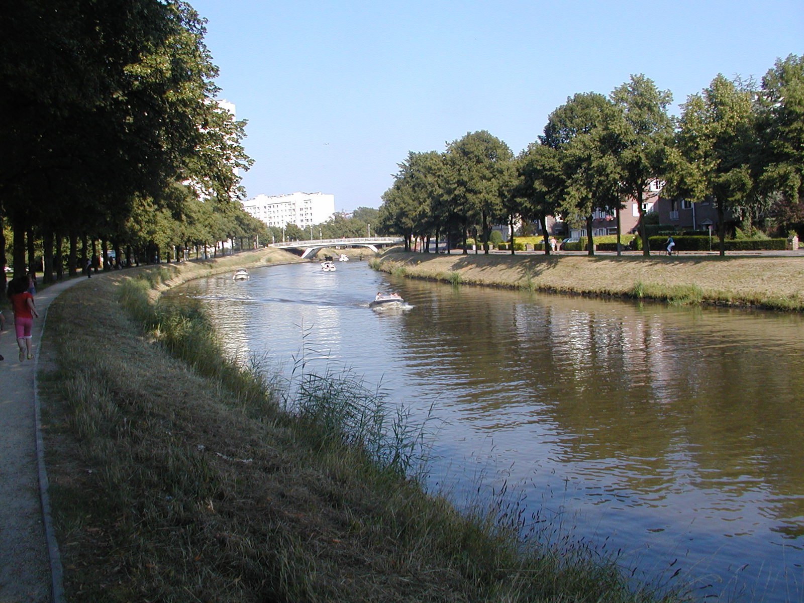 The Leie in Ghent | |
  | |
| Location | |
| Country | Belgium, France |
| Physical characteristics | |
| Source | |
| • location | Pas-de-Calais |
| • elevation | 115 m (377 ft) |
| Mouth | |
• location | Scheldt |
• coordinates | 51°3′18″N 3°44′3″E |
| Length | 202 km (126 mi) |
| Basin features | |
| Progression | Scheldt→ North Sea |

Historically a very polluted river from the high population density and industrialisation in both Northern France and Belgium, it has seen substantial improvements in recent years, partly due to the decline of the principal industry, the spinning and weaving of flax. The region of the Leie (between Deinze and Ghent) was known as a favourite place for numerous painters in the first half of the 20th century.
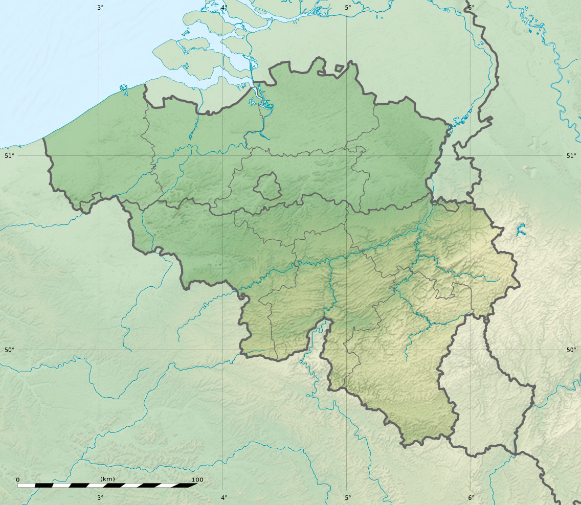
The source of the Lys is in a village, Lisbourg, east of Fruges, in the Pas-de-Calais department of France. It flows generally northeast through the following departments of France, provinces of Belgium and towns and municipalities:
- Pas-de-Calais (F): Thérouanne, Aire-sur-la-Lys
- Nord (F): Merville, Armentières, Halluin
- Hainaut (B): Comines-Warneton
- West Flanders (B): Menen, Wevelgem, Kortrijk, Waregem, Wervik
- East Flanders (B): Zulte, Deinze, Ghent
The main tributaries of the Leie are, from source to mouth: Laquette, Clarence, Lawe, Deûle, Gaverbeek, Heulebeek, and Mandel.[1]
The river was the location of three battles between the Allies and the German Army. During the First World War in 1918 the location was the scene of the First Battle of the Lys, which was part of the German Spring Offensive and later that year of the Second Battle of the Lys, which was part of the Allies' Hundred Days Offensive. During the Second World War, the Battle of the Lys was part of the 1940 German offensive in Flanders towards the English Channel.
History
The Leie/Lys was a commercial navigation from the Middle Ages, but it was the river's devastating floods rather than navigation improvements which justified major works and meander cut-offs started around 1670. The 9 meter difference in elevation between Aire-sur-la-Lys and the border was gradually overcome by six locks and weirs, completed in 1780. The river carried a heavy traffic in grain and linen through to Ghent and Antwerp. The navigation was leased out to a company around 1825, and the locks upgraded to 5.20 m wide, for a draught of 1.60 m. In December 1899, more than 40 schoolchildren skating on the frozen river at Frelinghien fell through the ice and drowned.[2]
The river was given its present depth by the Freycinet programme. The section below Armentières was enlarged to class III from 1930, and the border section was improved to class Va starting from 1960. This section is part of the EU's priority project 30 for the Seine-Escaut waterway. The upstream section, by contrast, is used almost exclusively by recreational craft, and is at present heavily silted.[3]
References
- Sandre. "Fiche cours d'eau - La Lys (E3--0120)".
- "Terrible Disaster". Green Bay, Wisconsin: Green Bay Semi-Weekly Gazette. 27 December 1899. p. 1. Retrieved 15 July 2017 – via newspapers.com.
- Edwards-May, David (2010). Inland Waterways of Francea. St Ives, Cambs., UK: Imray Ltd. pp. 127–129. ISBN 978-1-846230-14-1.
External links
Authority control | |
|---|---|
| General |
|
| National libraries | |
| Other |
|
На других языках
[de] Leie
Die Leie (franz. Lys, lat. Legia) ist ein Fluss, der in Frankreich und Belgien verläuft. Sie entspringt im Gemeindegebiet von Lisbourg (flämisch: Liegesboort[2]), im französischen Département Pas-de-Calais, entwässert generell in nordöstlicher Richtung und mündet nach insgesamt rund 202 Kilometern im Stadtgebiet von Gent, in der belgischen Provinz Ostflandern, als linker Nebenfluss in die Schelde.- [en] Lys (river)
[es] Río Lys
El río Lys (en neerlandés Leie, en francés Lys) es un río de Francia y Bélgica. Nace en Lisbourg (Paso de Calais), a 114,7 m sobre el nivel del mar, y desemboca en el Escalda en Gante (Flandes Oriental, Bélgica), tras un curso de 195 km. Durante un tramo de 24,6 km forma la frontera entre Francia y Bélgica. El río es navegable.[it] Lys (fiume)
Il Lys (pronuncia francese [lis]) o Leie (pronuncia neerlandese [ˈlɛɪ̯ə]) è un fiume che nasce in Francia, entra in Belgio e passa attraverso la città di Courtrai per poi confluire nella Schelda a Gand. È lungo 202 km di cui 118,6 in Francia.[1][ru] Лис (река)
Лис[1] (во Франции, фр. Lys) / Ле́йе[2] (в Бельгии, нидерл. Leie) — река во Франции и Бельгии, левый приток реки Шельда. Её источник находится в департаменте Па-де-Кале, Франция, и она впадает в реку Шельда в Бельгии. Её полная длина составляет 202 км.Другой контент может иметь иную лицензию. Перед использованием материалов сайта WikiSort.org внимательно изучите правила лицензирования конкретных элементов наполнения сайта.
WikiSort.org - проект по пересортировке и дополнению контента Википедии