geo.wikisort.org - River
Isdell River is a river in the Kimberley region of Western Australia, named in 1898 by explorer Frank Hann after James Isdell, who was prominent in the region and later served as a member of parliament.
| Isdell River | |
|---|---|
 | |
| Location | |
| Country | Australia |
| Physical characteristics | |
| Source | |
| • location | Packhorse Range |
| • elevation | 515 metres (1,690 ft)[1] |
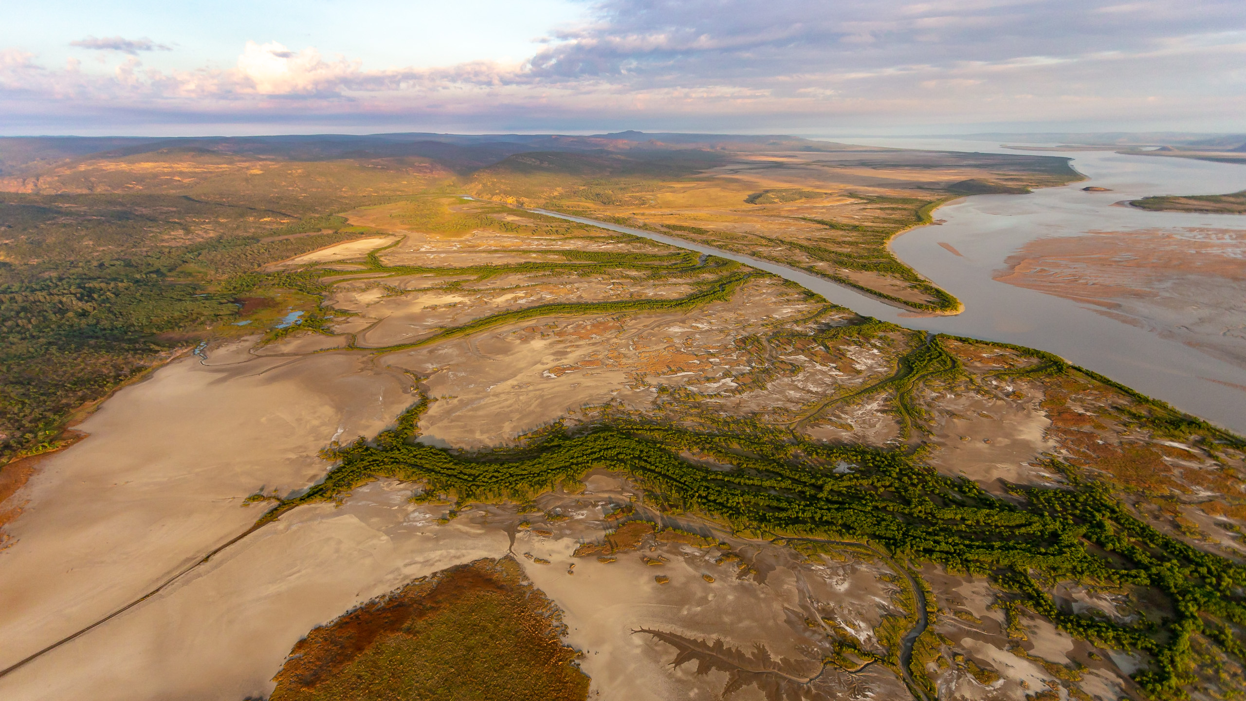
| Mouth | |
• location | Walcott Inlet |
• elevation | sea level |
| Length | 206 kilometres (128 mi)[2] |
| Basin size | 5,540 square kilometres (2,139 sq mi)[3] |
The river rises in the Packhorse Range and flows in a south- westerly direction until it reaches Isdell Gorge at the foot of the Wunaamin Miliwundi Range where it changes to a north-westerly direction before discharging into the eastern end of Walcott Inlet.
The river has eleven tributaries, including Sprigg River, Woolybutt Creek, Cadjuput Creek, Woomera Creek and Tulmulnga Creek.
The traditional owners are the Wangina Wunggurr Willingin people, who maintain a strong connection to the river despite disruptions by pastoral activities.
References
- "Bonzle Digital Atlas - Map of Isdell River, WA". 2008. Retrieved 10 July 2016.
- "History of river names – I". Western Australian Land Information Authority. Retrieved 9 December 2008.
- "Rivers of the Kimberley - Water Notes" (PDF). 2008. Retrieved 26 February 2009.[permanent dead link]
Rivers of Western Australia | |
|---|---|
| Rivers of the Gascoyne region | |
| Rivers of the Goldfields-Esperance region | |
| Rivers of the Great Southern region | |
| Rivers of the Kimberley region |
|
| Rivers of the Mid West region | |
| Rivers of the Peel and Perth regions |
|
| Rivers of the Pilbara region | |
| Rivers of the South West region | |
| Rivers of the Wheatbelt region | |
| |
Текст в блоке "Читать" взят с сайта "Википедия" и доступен по лицензии Creative Commons Attribution-ShareAlike; в отдельных случаях могут действовать дополнительные условия.
Другой контент может иметь иную лицензию. Перед использованием материалов сайта WikiSort.org внимательно изучите правила лицензирования конкретных элементов наполнения сайта.
Другой контент может иметь иную лицензию. Перед использованием материалов сайта WikiSort.org внимательно изучите правила лицензирования конкретных элементов наполнения сайта.
2019-2026
WikiSort.org - проект по пересортировке и дополнению контента Википедии
WikiSort.org - проект по пересортировке и дополнению контента Википедии