geo.wikisort.org - River
The Highwood River is a tributary of the Bow River in southwestern Alberta, Canada.
| Highwood River | |
|---|---|
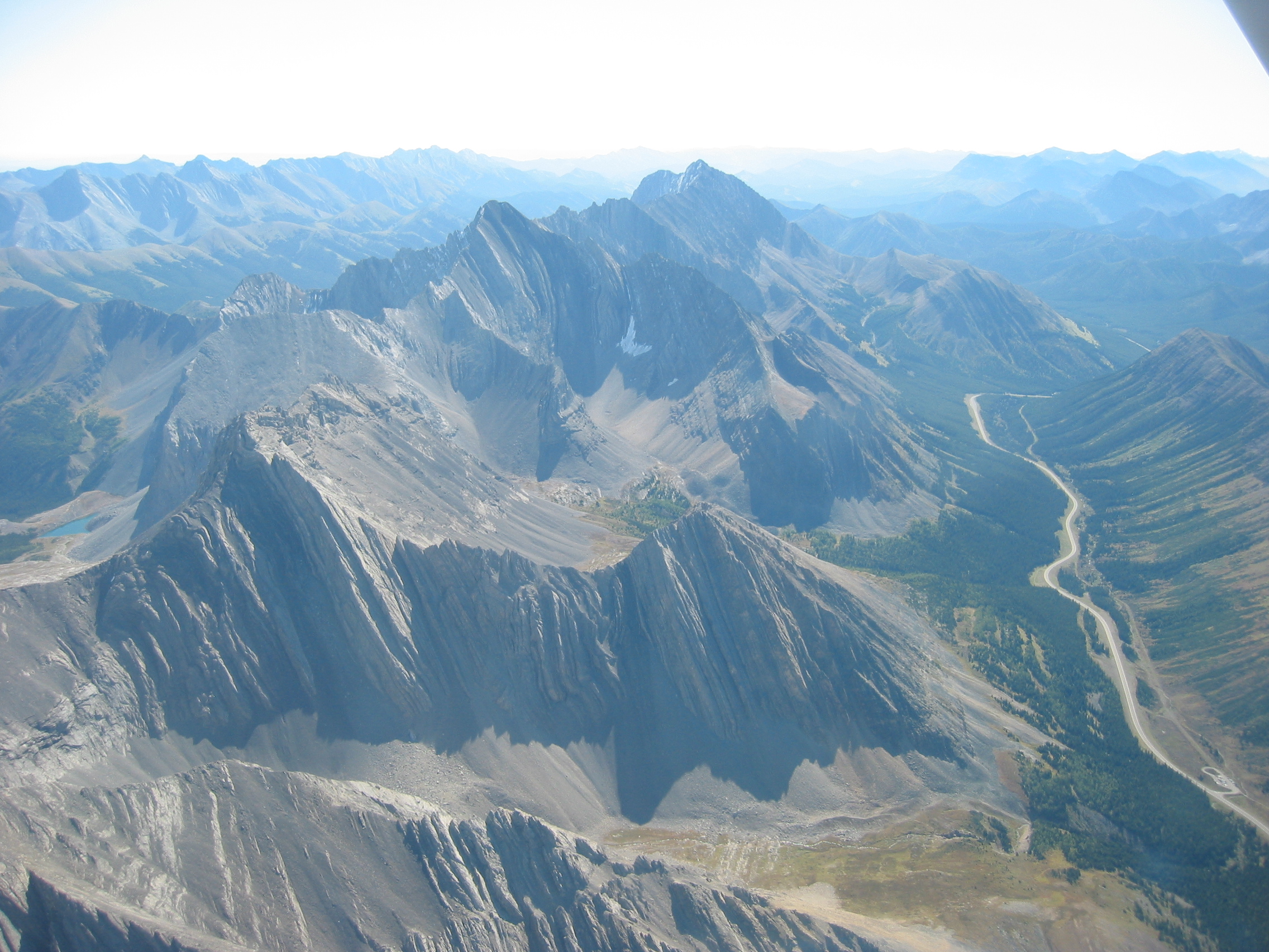
 The Highwood from Alberta Highway 40 | |
| Location | |
| Country | Canada |
| Province | Alberta |
| Physical characteristics | |
| Source | |
| • location | Peter Lougheed Provincial Park |
| • coordinates | 50.61032°N 114.97613°W |
| • elevation | 2,500 meters (8,200 ft) |
| Mouth | |
• location | Bow River |
• coordinates | 50.81743°N 113.77892°W |
• elevation | 950 meters (3,120 ft) |
Course
The Highwood originates in the Canadian Rockies in Peter Lougheed Provincial Park, in the Highwood Pass below Mount Arethusa. It flows south and is paralleled by the Kananaskis Trail between Elbow-Sheep Wildland Provincial Park, Don Getty Wildland Provincial Park, and Emerson Creek Park. It turns east and flows along Highway 541 and through the community of Longview. Continuing east, it passes through High River, ending when it enters the Bow River southeast of Calgary.
Recreation
The river is known for flyfishing. A variety of trout species live in the river, including native bull trout. In springtime when the snow is melting the river offers white water rafting.
Flooding
The Highwood River is subject to frequent flooding. Flood events of exceptional magnitude occurred in 1894, 1899, 1902, 1908, 1912, 1923, 1929, 1932, 1942, 1995, 2005 and 2013.[1] Most recently during the 2013 Alberta floods, thousands of people in Alberta were ordered to evacuate their homes after the rise of the Highwood River, Bow River, Elbow River and numerous others.[2][3] Three people died as a result of the flooding of the Highwood River.[4]
Tributaries and features
From origin to mouth, the Highwood River receives the following tributaries or passes through these geographic features:
| Tributary or feature | Location | Remarks |
|---|---|---|
| Storm Creek | 50.56597°N 114.95302°W | left tributary from Storm Mountain |
| Kananaskis Trail | 50.54084°N 114.94909°W | Bridge |
| Mist Creek | 50.51388°N 114.83849°W | left tributary from Mist Mountain |
| Picklejar Creek | 50.50687°N 114.82833°W | left tributary |
| Loomis Creek | 50.46714°N 114.78512°W | right tributary |
| McPhail Creek | 50.41631°N 114.74539°W | right tributary |
| Cat Creek | 50.40797°N 114.71243°W | left tributary |
| Strawberry Creek | 50.38248°N 114.67775°W | right tributary |
| Fitzsimmons Creek | 50.37914°N 114.65781°W | right tributary |
| Etherington Creek | 50.37944°N 114.64946°W | right tributary |
| Stony Creek | 50.38832°N 114.61922°W | left tributary |
| Cataract Creek | 50.38986°N 114.58254°W | right tributary |
| Zephyr Creek | 50.38977°N 114.57551°W | right tributary |
| Marston Creek | 50.40470°N 114.50136°W | left tributary |
| Deep Creek | 50.42343°N 114.46994°W | left tributary |
| Eden Valley Indian reserve 216 | 50.42061°N 114.47585°W | enters reserve |
| Eden Valley Indian Reserve 216 | 50.45863°N 114.42421°W | leaves reserve |
| Waldie Creek | 50.47466°N 114.41978°W | left tributary |
| Trap Creek | 50.47849°N 114.41952°W | left tributary |
| Sullivan Creek | 50.53074°N 114.38507°W | left tributary |
| Ings Creek | 50.55979°N 114.33701°W | left tributary |
| Longview | 50.53301°N 114.24000°W | enters town limits |
| Cowboy Trail | 50.52346°N 114.23348°W | bridge |
| Bull Creek | 50.50548°N 114.23275°W | right tributary |
| Pekisko Creek | 50.48207°N 114.12843°W | right tributary |
| High River | 50.57573°N 113.90574°W | enters town limits |
| Highway 2A | 50.58308°N 113.87239°W | road and railroad bridge |
| Tongue Creek | 50.63876°N 113.87181°W | left tributary |
| CPR | 50.65727°N 113.85934°W | railroad bridge |
| Highway 2 | 50.66836°N 113.86222°W | bridge |
| Highway 547 | 50.69705°N 113.86396°W | bridge |
| Sheep River | 50.74024°N 113.85580°W | left tributary |
| Highway 552 | 50.78368°N 113.82126°W | bridge |
| Bow River | 50.81898°N 113.77845°W | river mouth as right tributary of Bow River |
See also
References
- "Little Bow Project/ Highwood Diversion Plan. Application to Construct a Water Management Project to Convey and Store Water Diverted from the Highwood River" Report of the NRCB/CEAA Joint Review Panel. Application #9601 - Alberta Public Works, Supply and Services. May 1998.
- Calgary neighbourhoods underwater as Bow River's rise continue
- Alberta floods prompt widespread downtown Calgary evacuations
- "RCMP confirm three dead in Alberta floods that forced 100,000 to evacuate". National Post. June 22, 2013. Retrieved June 26, 2013.
Hydrography of Alberta | ||
|---|---|---|
| Rivers |  | |
| Waterfalls | ||
| Lakes | ||
| Reservoirs | ||
| Glaciers |
| |
| Other |
| |
Authority control | |
|---|---|
| General |
|
| National libraries | |
На других языках
[de] Highwood River
Der Highwood River ist ein 170 km langer rechter Nebenfluss des Bow River im Südwesten der kanadischen Provinz Alberta.- [en] Highwood River
[it] Highwood (fiume)
L'Highwood è un fiume del Canada lungo circa 170 chilometri. Nasce in Alberta sulle Montagne Rocciose Canadesi e, dopo aver, attraversato il centro abitato di High River, confluisce nel fiume Bow.Другой контент может иметь иную лицензию. Перед использованием материалов сайта WikiSort.org внимательно изучите правила лицензирования конкретных элементов наполнения сайта.
WikiSort.org - проект по пересортировке и дополнению контента Википедии