geo.wikisort.org - River
The Hari River (Persian: هریرود or Dari: هری رود, romanized: Harī Rōd; Pashto: د هري سیند) or Herat River is a river flowing 1,100 kilometres (680 mi) from the mountains of central Afghanistan to Turkmenistan, where it forms the Tejend oasis and disappears in the Karakum Desert. In its lower course, the river forms a northern part of the border between Afghanistan and Iran, and a southeastern part of the border between Turkmenistan and Iran.
| Hari River | |
|---|---|
 | |
| Location | |
| Countries | Afghanistan، Iran and Turkmenistan |
| Physical characteristics | |
| Source | |
| • location | Koh-i-Baba |
| Mouth | |
• location | Karakum Desert |
| Length | 1,100 km (680 mi) |
| Basin size | 39,300 km2 |
In Turkmenistan it is known as the Tejen or Tedzhen river and passes close to the city of Tedzhen. To the Ancient Greeks it was known as the Arius.[1] In Latin, it was known as the Tarius.
History
Western non Hindu writers claim that Rigveda is said to have recorded the Harirud as the River Sarayu. However, the actual Sarayu is in Uttar Pradesh state of India and arises in Tibetan glaciers near Mt Kailash. It flows through Nepal, before entering India .[2] The river Haroyu is also mentioned in the Avesta.[3] A Buddhist monastery hand-carved in the bluff of the river Harirud existed in the first centuries during the prevalence of Buddhism. The artificial caves revealed testimony of daily life of the Buddhist monks.[4]
Course

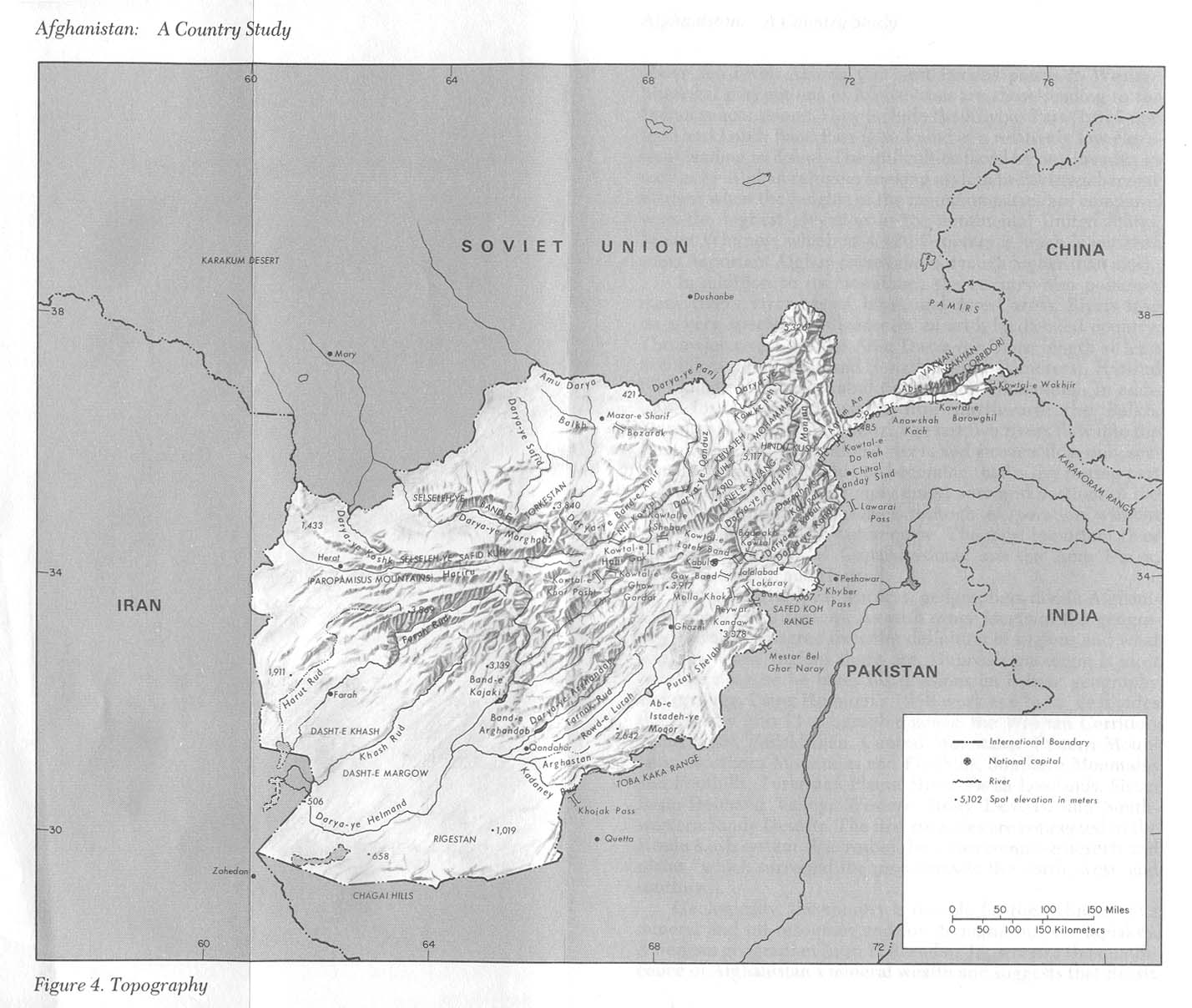
The river originates in the eastern part of Ghor Province in the Baba mountain range, part of the extensions of Hindu Kush system, and follows a relatively straight course to the west.
Still some 200 kilometres (120 mi) upstream from Herat the river meets the Jam River at the site of the Minaret of Jam, the second tallest ancient minaret in the world at 65 metres (213 ft).
In western Afghanistan the Hari Rud flows to the south of Herat. The valley around Herat with the Paropamisus Mountains (Selseleh-ye Safēd Kōh) on the right river bank was historically famous for its fertility and dense cultivation. After Herat, the river turns northwest, then north, forming the northern part of the border between Afghanistan and Iran. Farther north it forms the south-eastern part of the border between Iran and Turkmenistan. The Iran–Turkmenistan Friendship Dam is on the river.[5]
The Afghan-India Friendship Dam (Salma Dam) is a hydroelectric and irrigation dam project located on the Hari Rud in Chishti sharif District of Herat Province in western Afghanistan.
The average annual discharge of the Hari Rud is about 55 m3/s, but during a spring flood in 1939 the discharge went up to 1090 m3/s.[6]
In 2000, the river dried up completely during a 10-month drought.[7]
Bridges
Pulkhatyn Bridge
An unused stone-bridge of five arches, this falls in the Ahal Region of Turkmenistan.[8] It is about 2 kilometres (1.2 mi) north of Iran–Turkmenistan Friendship Dam.[8]
Pulkhatyn translates to "wealthy woman."[8] In Turkmen lore, the custodian of the bridge was a woman who made a fortune by taxing all travelers; Alexander the Great had apparently refused to pay this fee and crossed further downstream.[8]
See also
- 2020 drowning of Afghan refugees in the Hari River
- Badhyz State Nature Reserve
- Kushk River
- Rigvedic rivers
References
- George Rawlinson (1873). The sixth great Oriental monarchy; or The geography, history, & antiquities of Parthia, collected and illustrated from ancient and modern sources. pp. 69, 444(index).
- Early Aryans of India, 3100–1400 B.C. By S. B. Roy Page 76
- Legend of Ram: antiquity to janmabhumi debate By Sanujit Ghose. Page 77
- Lithuanian archeologists make discovery in Afghanistan, The Baltic Times, May 22, 2008; Archaeologists make new discoveries about ancient Afghan cultures, Top News, 23 May 2008.
- Shroder, John F. (2016). "Hari Rud – Murghab River Basin". Transboundary Water Resources in Afghanistan: Climate Change and Land-Use Implications. Saint Louis: Elsevier. pp. 410–412. ISBN 978-0-12-801861-3.
- "DLM 3 Rivers of the Hindu Kush, Pamir, and Hindu Raj". International Programs. 24 April 2019. Retrieved 31 October 2020.
- "Iran-Turkmen river flowing again after drought". Parvand News. 3 January 2001. Retrieved 15 January 2021.
- Brummell, Paul (2005). Turkmenistan. Bradt Travel Guides. p. 132. ISBN 9781841621449.
External links
- UNESCO: Minaret of Jam (Press Release No.2002-41) and Minaret and Archaeological Remains of Jam (World Heritage List entry).
- University of Texas: A map showing the river (as 'Hariru').
- A mention of the Tedzhen river (inaccessible on 2013-06-26).
| Rivers | |
|---|---|
| Canal | |
| River (extinct) | |
| Authority control: National libraries |
|---|
На других языках
[de] Harirud
Der Hari Rud (persisch هریرود, DMG Harī-Rūd; auch Tedschen oder Tejen; griechisch Ochos [in der Antike]) ist ein 1124 km langer Fluss in Afghanistan, im Iran und in Turkmenistan.- [en] Hari (Afghanistan)
[es] Río Hari Rud
El río Hari Rud (del persa rud que significa río, conocido en también como Torei o Tedzhen, y en latín como Arius) es un río que fluye 1.124 km desde las montañas de Afganistán hacia Turkmenistán.[it] Hari Rud
Il Rudkhaneh-ye Hari Rud (persiano: هریرود, dari: هری رود, pashto: د هري سیند), chiamato anche Hari Rud o semplicemente Hari, è un fiume lungo 1100 chilometri che scorre dalle montagne dell'Afghanistan centrale al Turkmenistan, dove scompare nel deserto Karakum senza mai sfociare nel mare. In persiano la parola Rud significa "fiume".[ru] Теджен (река)
Тедже́н[1], Тедже́нка[2][3][4] (на территории Туркмении; туркм. Tejen, перс. تجن от древне-иранского tačani — «текущий поток») / Гериру́д[5] (на территории Афганистана и Ирана; дари и пушту هريرود, перс. هريرود — Херируд[6][7]) — река в Афганистане, Иране и Туркмении. Длина — 1150 км[8], площадь бассейна — 70 600 км²[8].Другой контент может иметь иную лицензию. Перед использованием материалов сайта WikiSort.org внимательно изучите правила лицензирования конкретных элементов наполнения сайта.
WikiSort.org - проект по пересортировке и дополнению контента Википедии