geo.wikisort.org - River
The Fryingpan River is a tributary of the Roaring Fork River, approximately 42 miles (68 km) long,[2] in Eagle and Pitkin counties in Colorado, United States.
| Fryingpan River | |
|---|---|
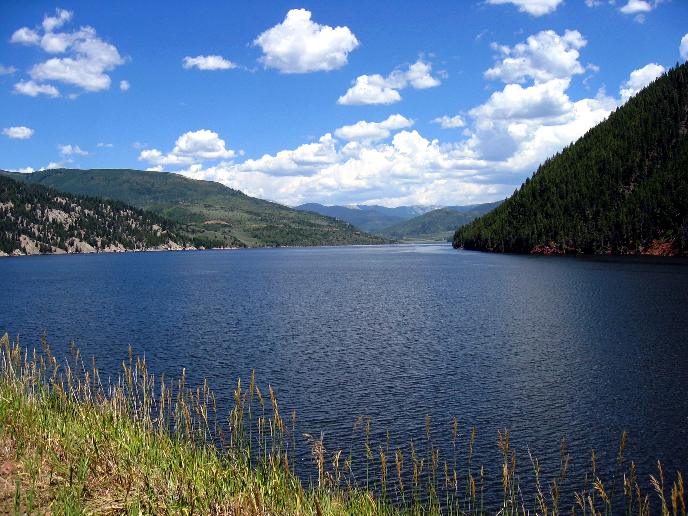
 Fryingpan River below Ruedi Dam | |
 Map of Roaring Fork drainage basin, including the Fryingpan River | |
| Location | |
| Country | United States |
| State | Colorado |
| Counties | Eagle and Pitkin |
| Physical characteristics | |
| Source | Near Mount Massive |
| • location | Hunter-Fryingpan Wilderness, Pitkin County |
| • coordinates | 39°09′52″N 106°31′40″W[1] |
| • elevation | 12,083 ft (3,683 m) |
| Mouth | Roaring Fork River |
• location | Basalt, Eagle County |
• coordinates | 39°22′00″N 107°02′03″W[1] |
• elevation | 6,591 ft (2,009 m) |
| Length | 42 mi (68 km)[2] |
| Basin size | 237 sq mi (610 km2)[3] |
| Discharge | |
| • location | Near Ruedi[3] |
| • average | 176 cu ft/s (5.0 m3/s)[3] |
| • minimum | 28 cu ft/s (0.79 m3/s) |
| • maximum | 2,690 cu ft/s (76 m3/s) |
| Basin features | |
| Tributaries | |
| • left | Marten Creek, South Fork Fryingpan River, Rocky Fork Creek |
| • right | Ivanhoe Creek, North Fork Fryingpan River, Lime Creek |
History
The reason for the unusual name of the river is that when a group of trappers were attacked by a band of Ute Native Americans, only two men survived, one of whom was injured. Leaving his wounded friend in a cave close by, the last man left to summon help, but not before hanging a frying pan in a tree so that he could find the cave again on his return.[1][4][5]
Geography
It rises in northeastern Pitkin County, in the White River National Forest in the Sawatch Mountains along the western side of the continental divide. It flows westward along the county line between Pitkin and Eagle County. Below Meredith, it is dammed to form the Ruedi Reservoir. It joins the Roaring Fork below Basalt. A portion of the river's water is diverted to the east side of the continental divide for irrigation and drinking water via the Fryingpan-Arkansas Project.
See also
- List of rivers of Colorado
- List of tributaries of the Colorado River
References
- "Fryingpan River". Geographic Names Information System. United States Geological Survey, United States Department of the Interior. Retrieved 2011-01-27.
- U.S. Geological Survey. National Hydrography Dataset high-resolution flowline data. The National Map Archived 2012-03-29 at the Wayback Machine, accessed March 18, 2011
- "USGS Gage #09080400 on the Fryingpan River near Ruedi, CO" (PDF). National Water Information System. U.S. Geological Survey. 1969–2013. Retrieved 2016-06-01.
- Maryann Gaug (17 May 2011). Hiking Colorado, 3rd: A Guide to the State's Greatest Hiking Adventures. FalconGuides. pp. 198–. ISBN 978-0-7627-9722-6.
- Dawson, John Frank. Place names in Colorado: why 700 communities were so named, 150 of Spanish or Indian origin. Denver, CO: The J. Frank Dawson Publishing Co. p. 23.
External links
![]() Media related to Fryingpan River at Wikimedia Commons
Media related to Fryingpan River at Wikimedia Commons
Roaring Fork Valley | ||
|---|---|---|
| Major cities |
|  |
| Other communities | ||
| Near valley | ||
| Ski resorts |
| |
| Bodies of water | ||
Authority control | |
|---|---|
| General | |
| National libraries | |
This article related to a river in Colorado is a stub. You can help Wikipedia by expanding it. |
На других языках
[de] Fryingpan River
Der Fryingpan River ist ein 48 Kilometer langer Nebenfluss des Roaring Fork River im US-Bundesstaat Colorado. Der Fluss entspringt in der Sawatch Range im White River National Forest im Pitkin County. Danach fließt er an der Countygrenze der Countys Pitkin County und Eagle County entlang. Unterhalb von Meredith wird er zum Ruedi Reservoir gestaut. Bei Basalt mündet er in den Roaring Folk River.- [en] Fryingpan River
Другой контент может иметь иную лицензию. Перед использованием материалов сайта WikiSort.org внимательно изучите правила лицензирования конкретных элементов наполнения сайта.
WikiSort.org - проект по пересортировке и дополнению контента Википедии