geo.wikisort.org - River
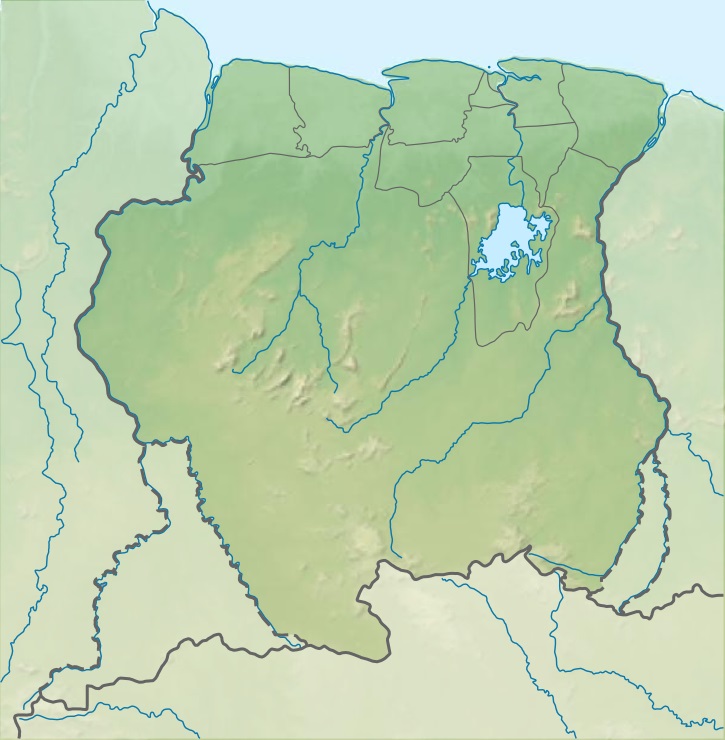
The Coeroeni River is a river in South America. It arises in the Tumuc-Humac Mountains, which forms the drainage divide between Pará, Brazil, and Suriname; from there it flows northward. The river is fed by the Aramatau, Kutari and Sipaliwini River.[1] The Coeroeni goes on to form the border of the disputed Tigri Area[2] by Guyana and Suriname.[1] It eventually flows into the Courantyne River, which forms the international boundary between Guyana–Suriname.[1]
| Coeroeni | |
|---|---|
 Coeroeni is the middle on the left. | |
 Location of mouth | |
| Physical characteristics | |
| Source | Confluence of the Sipaliwini and Kutari River |
| • coordinates | 2.3447°N 56.8730°W |
| Mouth | Courentyne River |
• coordinates | 3.3688°N 57.6514°W |
While there's little dispute of the lower Corentyne marking the division between the two countries, however confusion arose where the river splits to the west as the New River or the east Coeroeni. Which one is deemed the proper upper Corentyne was between the expedition of Robert H. Schomburgk, and later Barrington Brown who found the New River.[3]
Notes
- "Encyclopaedie van Nederlandsch West-Indië" (PDF). Digital Library for Dutch Literature. 1916. p. 228, 331. Archived (PDF) from the original on 2018-03-08. Retrieved 2021-02-15.
- "De Telegraaf van dinsdag 19-08-1969". Krant van uw Geboortedag (in Dutch). 19 August 1969. Retrieved 30 May 2020.
- Sluiter, Engel (1933). "Dutch Guiana: A Problem in Boundaries". The Hispanic American Historical Review. 13 (1): 13–22. doi:10.2307/2506542. ISSN 0018-2168.
На других языках
[de] Coeroeni
Der Coeroeni ist der rechte Quellfluss des Corantijn. Der ca. 257 km lange Fluss verläuft entlang der Grenze zwischen Guyana und Suriname.- [en] Coeroeni River
[es] Río Coeroeni
El río Coeroeni (pronunciado /kuruni/) es un río de Suramérica, un afluente del río Courantyne. Nace en el noroeste de la región de Pará, en Brasil, al oeste de la sabana de Sipaliwini. El río serpentea hacia el norte a través de la selva y después de unos kilómetros sale de Brasil y le da forma a la frontera entre Guyana y Surinam, por el suroeste, zona que se encuentra aún en disputa, denominada región de Tigri.Другой контент может иметь иную лицензию. Перед использованием материалов сайта WikiSort.org внимательно изучите правила лицензирования конкретных элементов наполнения сайта.
WikiSort.org - проект по пересортировке и дополнению контента Википедии