geo.wikisort.org - River
The Chenango River[3] is a 90-mile-long (140 km)[4] tributary of the Susquehanna River in central New York in the United States. It drains a dissected plateau area in upstate New York at the northern end of the Susquehanna watershed.
| Chenango River | |
|---|---|
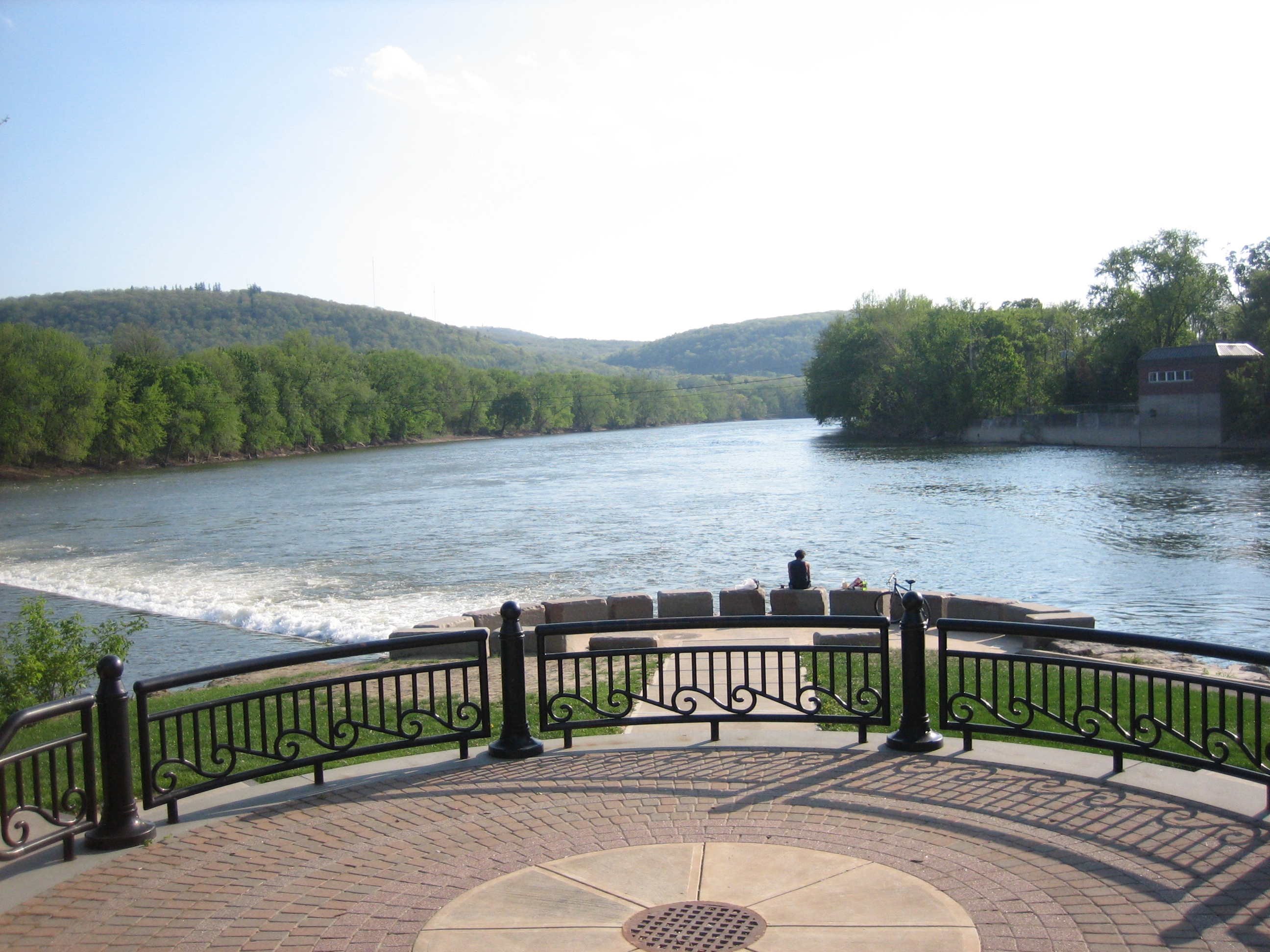
 Chenango River from Court Street Bridge in Binghamton, New York, near its confluence with the Susquehanna River | |
| Location | |
| Country | United States |
| State | New York |
| Physical characteristics | |
| Source | Campbell Lakes, Morrisville Swamp |
| • location | Morrisville, Madison County, New York, United States |
| • coordinates | 42°56′23″N 75°40′06″W |
| • elevation | 1,290 ft (390 m) |
| Mouth | Susquehanna River |
• location | Binghamton, Broome County, New York, New York, United States |
• coordinates | 42°05′32″N 75°55′02″W |
• elevation | 820 ft (250 m) |
| Length | 90 mi (140 km) |
| Basin size | 1,582 sq mi (4,100 km2)[1] |
| Discharge | |
| • location | Chenango Forks, New York[2] |
| • minimum | 125 cu ft/s (3.5 m3/s)[2] |
| • maximum | 8,770 cu ft/s (248 m3/s)[2] |
| Basin features | |
| Tributaries | |
| • left | Payne Brook, Sangerfield River, Mad Brook, West Brook, Whapanaka Brook, Thompson Creek, Ransford Creek, Glen Road Brook, Wheeler Brook, Page Brook Creek, Osborne Creek, Phelps Creek |
| • right | Callahan Brook, Electric Light Stream, Eaton Brook, Bradley Brook, Kingsley Brook, Stone Mill Brook, Cold Spring Brook, Fly Creek, Cold Brook, Canasawacta Creek, Gilmore Brook, Fly Meadow Creek, Mill Brook, Bowman Creek, Tillotson Creek, Spring Brook, Genegantslet Creek, Ockerman Brook, Tioughnioga River, Thomas Creek, Castle Creek, Cutler Creek |
Named after the Oneida word for bull thistle,[5] in the 19th century the Chenango furnished a critical link in the canal system of the northeastern United States. The Chenango Canal, built from 1836–1837 between Utica and Binghamton, connected the Erie Canal in the north to the Susquehanna River. The canal was rendered obsolete by railroads and was abandoned in 1878.
Flooding is often a concern during the spring and fall.
Course
The Chenango River begins near Morrisville in Madison County, in central New York, in the Morrisville Swamp in the Town of Smithfield, about 25 miles southwest of Utica. The river flows from the Campbell Lakes in the swamp, from waters flowing in from the Smithfield Hills to the north and west and a series of cliffs called "The Ledges" to the north and east. It flows south-southeast through the swamp. From Morrisville, it flows south past Eaton and is paralleled by the remnants of the old Chenango Canal from Randallsville, just south of Hamilton, to just north of Earlville where the old canal joined the river. Continuing south the Chenango is joined by the Sangerfield River, also known as the East Branch of the Chenango,[6] just south of Earlville. Then it flows south past Sherburne to Norwich, where it turns southwest. At Oxford it turns south, and at Warn Lake it again turns southwest. It flows past Brisben and Greene to Chenango Forks, where, about nine miles north of Binghamton, it receives from the right its major tributary, the Tioughnioga River.[7] It ends where it joins the Susquehanna from the north in downtown Binghamton in Broome County. Its overall length is about 90 miles.
Tributaries
Right
- Callahan Brook
- Electric Light Stream
- Eaton Brook
- Bradley Brook
- Kingsley Brook
- Stone Mill Brook
- Cold Spring Brook
- Fly Creek
- Cold Brook
- Canasawacta Creek
- Gilmore Brook
- Fly Meadow Creek
- Mill Brook
- Bowman Creek,
- Tillotson Creek
- Spring Brook
- Genegantslet Creek
- Ockerman Brook
- Tioughnioga River
- Thomas Creek
- Castle Creek
- Cutler Creek
Left
- Payne Brook
- Sangerfield River
- Mad Brook
- West Brook
- Whapanaka Brook
- Thompson Creek
- Ransford Creek
- Glen Road Brook
- Wheeler Brook
- Page Brook Creek
- Osborne Creek
- Phelps Creek
See also
- List of New York rivers
Notes
- Van Alstyne, Henry A. (January 1, 1905). Annual Report of the State Engineer and Surveyor of the State of New York. Albany, New York: Albany Brandow Printing Company. p. 634. Retrieved 14 November 2014.
- "USGS 01512500 CHENANGO RIVER NEAR CHENANGO FORKS NY". waterdata.usgs.gov/. United States Geological Survey. Retrieved 14 November 2014.
- U.S. Geological Survey Geographic Names Information System: Chenango River
- U.S. Geological Survey. National Hydrography Dataset high-resolution flowline data. The National Map Archived 2012-03-29 at the Wayback Machine, accessed August 8, 2011
- Runkle, Stephen A. Native American Waterbody and Place Names within the Susquehanna River Basin and Surrounding Subbasins Archived 2012-07-11 at the Wayback Machine Publication 229. Susquehanna River Basin Commission, September 2003.
- 1902 U.S.G.S. topographic map Morrisville 15' Quadrangle Archived 2013-04-08 at the Wayback Machine
- "Outdoor Activities: Fishing: Places to Fish: Central NY Fishing: Chenango River". New York State Department of Environmental Conservation. 2012.


| Authority control |
|
|---|
На других языках
[de] Chenango River
Der Chenango River ist ein 145 km langer Fluss im US-Bundesstaat New York.- [en] Chenango River
[it] Chenango (fiume)
Il fiume Chenango è un corso d'acqua che scorre per 145 km[1] nello stato di New York e sfocia nel fiume Susquehanna presso Binghamton, nella contea di Broome.Другой контент может иметь иную лицензию. Перед использованием материалов сайта WikiSort.org внимательно изучите правила лицензирования конкретных элементов наполнения сайта.
WikiSort.org - проект по пересортировке и дополнению контента Википедии