geo.wikisort.org - River
The Bristol Feeder Canal is a body of water in Bristol, England, that connects the Floating Harbour with the River Avon.[1]
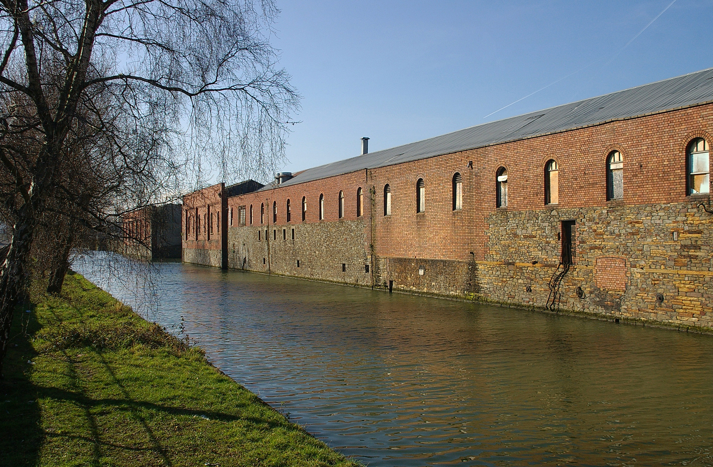
It stretches from Netham Lock where it connects with the tidal Avon in the east, to Totterdown Basin where it connects to the Floating Harbour and the original course of the Avon in the west.[2]
Map of Bristol Harbour (with Feeder Canal between numbers 12 and 13)
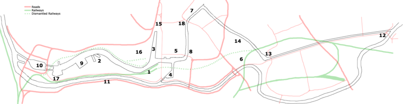
- Prince's Wharf, including M Shed, Pyronaut and Mayflower adjoining Prince Street Bridge
- Dry docks: SS Great Britain, the Matthew
- St Augustine's Reach, Pero's Bridge
- Bathurst Basin
- Queen Square
- Bristol Temple Meads railway station
- Castle Park
- Redcliffe Quay and Redcliffe Caves
- Baltic Wharf marina
- Cumberland Basin & Brunel Locks
- The New Cut
- Netham Lock, entrance to the Feeder Canal
- Totterdown Basin
- Temple Quay
- The Centre
- Canons Marsh, including Millennium Square and We The Curious
- Underfall Yard
- Bristol Bridge and Welsh Back
References
| Wikimedia Commons has media related to Feeder Canal. |
- "Areas of the harbour". Navigation in the harbour and bridge clearances. Bristol City Council. Retrieved 14 July 2015.
- "Bristol Harbour Authority". Association of Inland Navigation Authorities. Archived from the original on 15 July 2015. Retrieved 14 July 2015.
Текст в блоке "Читать" взят с сайта "Википедия" и доступен по лицензии Creative Commons Attribution-ShareAlike; в отдельных случаях могут действовать дополнительные условия.
Другой контент может иметь иную лицензию. Перед использованием материалов сайта WikiSort.org внимательно изучите правила лицензирования конкретных элементов наполнения сайта.
Другой контент может иметь иную лицензию. Перед использованием материалов сайта WikiSort.org внимательно изучите правила лицензирования конкретных элементов наполнения сайта.
2019-2026
WikiSort.org - проект по пересортировке и дополнению контента Википедии
WikiSort.org - проект по пересортировке и дополнению контента Википедии