geo.wikisort.org - River
The Armuthsbach is an 18.4-kilometre-long, orographically left-hand tributary of the Ahr in the German states of North Rhine-Westphalia and Rhineland-Palatinate.
| Armuthsbach | |
|---|---|
 The Armuthsbach in the vicinity of Pitscheid | |
| Location | |
| Country | Germany |
| States | North Rhine-Westfalia and Rhineland-Palatinate |
| Reference no. | DE: 271856 |
| Physical characteristics | |
| Source | |
| • location | South of Tondorf |
| • coordinates | 50°27′34″N 6°42′04″E |
| • elevation | ca. 531 m above sea level (NHN) |
| Mouth | |
• location | West of Schuld into the Ahr |
• coordinates | 50°26′48″N 6°52′31″E |
• elevation | ca. 245 m above sea level (NHN) |
| Length | 18.372 km [1] |
| Basin size | 60.526 km² [1] |
| Basin features | |
| Progression | Ahr→ Rhine→ North Sea |
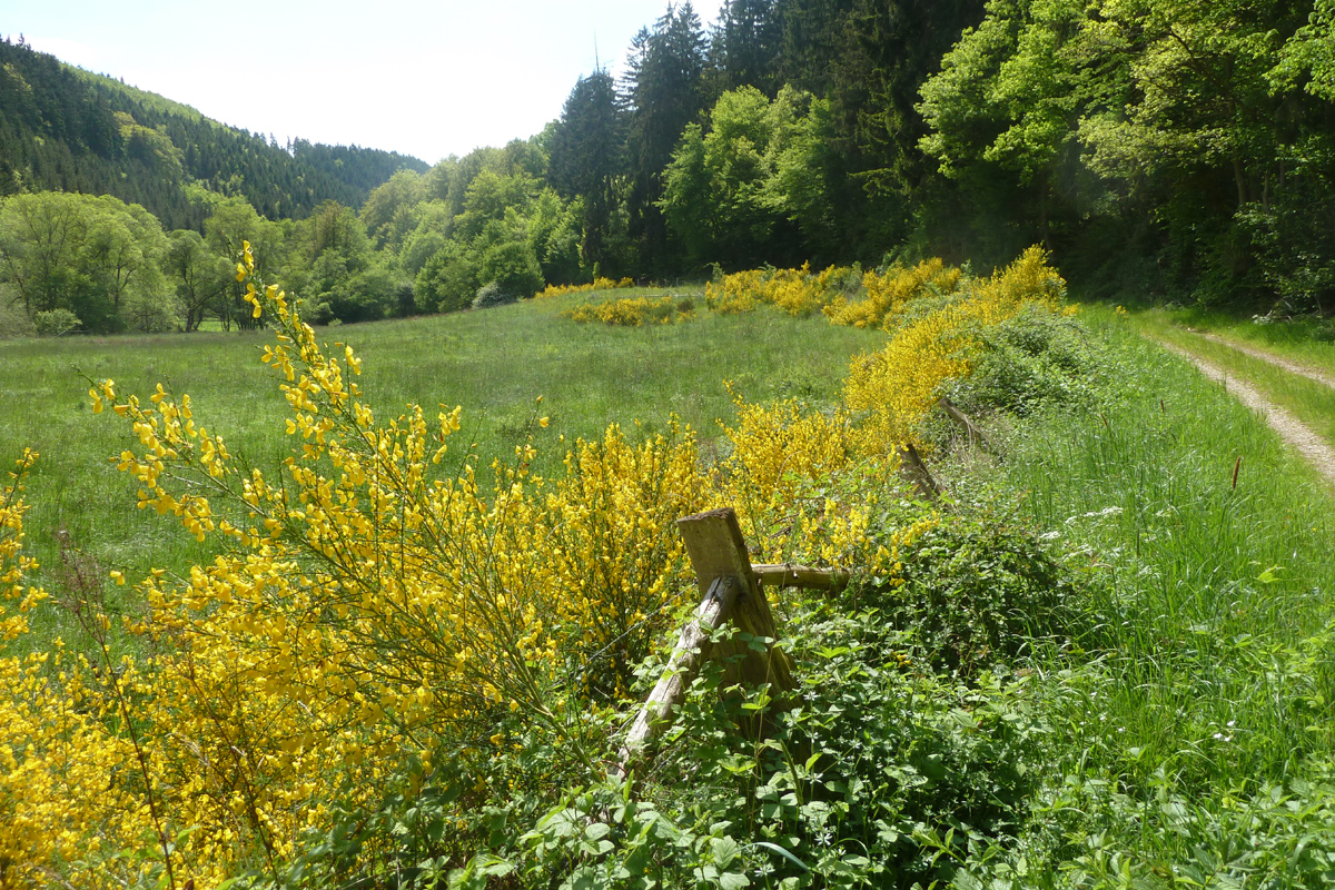 Gorse blooms in the Armuthsbach valley between Pitscheid and Wennefeldermühle | |
Geography
Course
The Armuthsbach rises about 1.5 km southwest of Tondorf at a height of 531 m above sea level (NHN). Its spring lies on the territory of Blankenheim. Flowing in a mainly easterly direction the Armuthsbach passes through the village of Rohr. Below the settlement the stream reaches the state border with Rhineland-Palatinate. As it continues to its mouth, there are no further villages along its course. About 400 metres north of the stream is Hümmel, about 900 metres south is Wershofen. About 800 metres west of Schuld the Armuthsbach empties into the Ahr from the left at an elevation of 245 m above NHN.
The Armuthsbach flows through the North Rhine-Westphalian nature reserve of the Armuthsbach and Tributaries (Armuthsbach und Nebenbäche).
The stream descends through 286 metres and has an average riverbed gradient of 15.5 ‰. Its catchment area covers 60.526 km² and its waters drain via the Ahr and Rhine into the North Sea.
Tributaries
The most important tributary of the Armuthsbach is the 7.7-km-long Buchholz Bach. The following table lists the tributaries of the Armuthsbachs as they are recorded in the waterbody index of the state of North Rhine-Westphalia.[1]
| Name | Position [km] | Bank | Length [km] | Catchment area [km²] | Mouth elevation [m above NHN] | DGKZ |
|---|---|---|---|---|---|---|
| Derchbach | 16.588 | left | 1.1 | 1.899 | 472[2] | 271856 112 |
| Mühlenbach | 16.339 | left | 1.6 | 467[2] | 271856 114 | |
| Werthsbach | 14,747 | right | 2,5 | 441[2] | 271856 116 | |
| Weierbach | 13.490 | right | 1.9 | 419[2] | 271856 118 | |
| N.N. | 12.624 | right | 1.0 | 408[2] | 271856 1192 | |
| Wellbach | 12.499 | left | 3.1 | 2.133 | 407[2] | 271856 12 |
| Borner Bach | 11.041 | left | 2.5 | 393[3] | 271856 132 | |
| Bröhlinger Bach | 9.238 | left | 3.3 | 3.987 | 370[3] | 271856 14 |
| N.N. | 8.013 | left | 1.1 | 351[3] | 271856 152 | |
| Mühlenseifen | 5.854 | left | 1.6 | 1.040 | 330[3] | 271856 16 |
| Brömmersbach | 2.796 | left | 5.6 | 8.825 | 283[3] | 271856 18 |
| Buchholz Bach | 1.929 | left | 7.7 | 17.676 | 269[3] | 271856 2 |
| Rupperather Bach | 1.505 | left | 1.6 | 266[3] | 271856 92 |
See also
References
- Hydrographic Directory of the NRW State Office for Nature, the Environment and Consumer Protection (Gewässerverzeichnis des Landesamtes für Natur, Umwelt und Verbraucherschutz NRW) - pdf, 1 MB
- Measurement based on German terrain maps (Deutscher Grundkarte) 1:5000 series
- Measurement based on Relief maps (Topografische Karte) 1:25.000 series
External links
- Armuthsbach und Nebenbäche Nature Reserve in the information system of the NRW State Office for Nature, the Environment and Consumer Protection.
- Armuthsbach im AW-wiki
На других языках
[de] Armuthsbach
Der Armuthsbach (auch Armutsbach) ist ein 18,4 km langer, linker Nebenfluss der Ahr in Nordrhein-Westfalen und Rheinland-Pfalz.- [en] Armuthsbach
Другой контент может иметь иную лицензию. Перед использованием материалов сайта WikiSort.org внимательно изучите правила лицензирования конкретных элементов наполнения сайта.
WikiSort.org - проект по пересортировке и дополнению контента Википедии