geo.wikisort.org - River
The Ardre (French pronunciation: [aʁdʁ]) is a fifth order river in France which flows into the Vesle (left tributary) thence into the Aisne, Oise and Seine. It is 39.3 km (24.4 mi) long.[1]
| Ardre | |
|---|---|
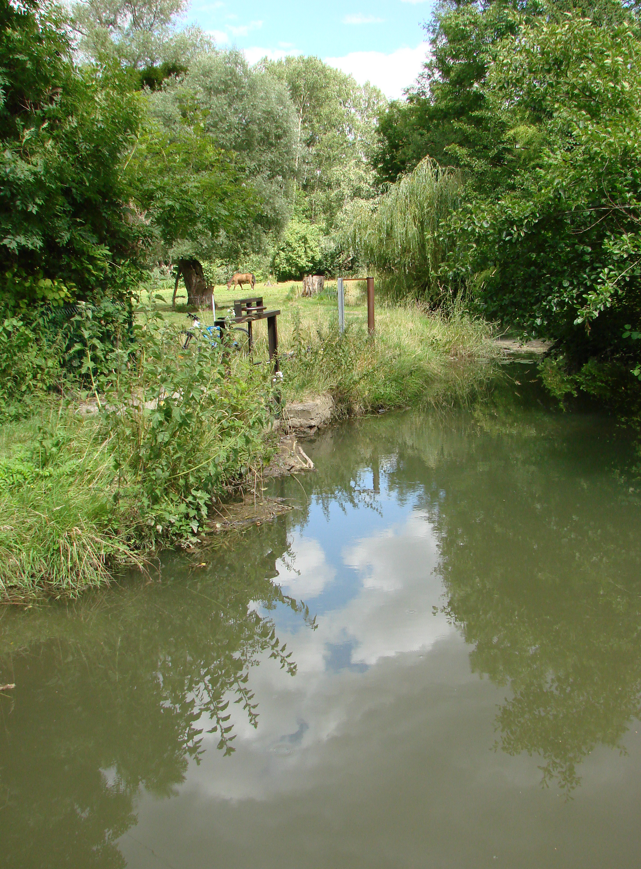
 The Ardre near Faverolles-et-Coémy. | |
  | |
| Location | |
| Country | France |
| Physical characteristics | |
| Mouth | |
• location | At Fismes on the Vesle |
• coordinates | 49°18′30″N 3°39′38″E |
| Length | 39 km (24 mi) |
| Basin size | 297 km2 (115 sq mi) |
| Basin features | |
| Progression | Vesle→ Aisne→ Oise→ Seine→ English Channel |
Geography
The river lies to the west of Reims and flows on bearing of about 310° from the Parc Régional de la Montagne de Reims to enter the Vesle at Fismes.
It rises at an altitude of about 270 m (890 ft) and descends over a course of 39 km (24 mi), to about 80 m (260 ft) in Fismes. It is crossed by the Paris to Reims motorway, A4/E50 about halfway along the river's length.[2]
Its geology is comparable with that of the lower Thames valley and south Hampshire. Though the chalk of the Champagne plateau is not far away, towards Reims, the immediate surroundings are of middle Eocene but the river has cut down into lower Eocene clay deposits like those at Chichester.[3] Consequently, the landscape is much more wooded than that typical of Champagne.
Hydrology
The Ardre's flow was observed during a period of 37 years (1969–2005), at Fismes, in the département of Marne situated at its confluence with the Vesle.[4] The catchment area of the river is 297 km2 (115 sq mi).
The mean of the annual flow rates or module, at Fismes over this period was shown to be 1,56 m³ per second.
The seasonal fluctuations are small, at least, when compared with the typical French water course. The higher flows occur in the winter to spring period, taking the monthly flow rates to between 1,95 and 2,54 m³ per second, from December to April with a slight peak in February. The low flows occur in late summer and early autumn, from July to October. This gives a low in the mean monthly flow rate of 0,68-0,70 m³ in August and September.
Mean monthly flow (m³/s) measured at the hydrological station at Fismes – data calculated over 37 years


At the point of lowest mean flow, in the case of a drought to be expected statistically once in five years, which is not serious, the VCN3.[5]
Unlike the Vesle, in the Ardre peaks in flow can be quite great. This arises from the small mean flow and the small catchment area. The QIX 10 [6] is 17 m³ per second, the QIX 20, 21 m³, while the QIX 50 is 25 m³ per second. (The mean monthly flow in the wettest month of the year is 2,54 m³ per second.)
The greatest momentary flow recorded at Fismes during the period of evaluation was 28,6 m³ per second on the 26 March 1988, while the maximum daily flow was 22,5 m³ per second, on the same day. Comparing the former value with the QUIX scale for the river, this flow was greater than the 60 year maximum calculated from the QUIX 50, therefore exceptional.
Fisheries
The Ardre is a water of the first category down to the bridge at Faverolles-et-Coëmy,[7] in other words, it is fished primarily for salmonids such as brown trout (Salmo trutta fario). Below the bridge, it becomes a second category river, offering principally cyprianids (white fish).
History
The Ardre became a footnote in British military history as the river down the valley of which the British 51st and 62nd Divisions, with attached New Zealanders, fought in cooperation with French V Army forces on each flank and with Italian artillery support, in July 1918, during the Second Battle of the Aisne.[8]
References
- Sandre. "Fiche cours d'eau - L'Ardre (H15-0420)".
- Anon Michelin France 2002 Tourist and Motoring Atlas (2001) ISBN 2-06-100128-9
- Anon Carte géologique de la France à l'échelle du millionième (2003) ISBN 2-7159-2158-6]
- fr. Banque Hydro – station H6423010 – The Ardre at Fismes (Do not tick (check) the "Station en service" box.)
- VCN3 is an acronym used by French hydrologists. In a table of seasonal flow rates, it represents the mean flow over three days which is the minimum observed during a given calendar month, over an observation period of several years. It will normally be qualified by a statement of the years over which observations were made for example, 1959–2001. It gives a statistical indication of the severity of a drought. fr. Banque Hydro – Glossary
- QIX is an acronym used by French hydrologists. It represents the likelihood of a flood of a given severity at a given point on a river. QIX 2 – once in two years; QIX 50 – once in 50 years etc.
- FMPPMA, which is the Marne Federation for Fisheries and the Protection of the Aquatic Environment (Fédération de la Marne pour la Pêche et la Protection du Milieu Aquatique). - Regulations for fishing in the département of Marne Archived July 1, 2009, at the Wayback Machine
- 62nd Division on the Ardre Archived 2016-03-03 at the Wayback Machine (based on this reference book).
Authority control | |
|---|---|
| General |
|
| National libraries | |
На других языках
[de] Ardre (Fluss)
Die Ardre ist ein Fluss in Frankreich, der im Département Marne in der Region Grand Est verläuft. Sie entspringt im Regionalen Naturpark Montagne de Reims, im Gemeindegebiet von Saint-Imoges, entwässert generell Richtung Nordwest und mündet nach rund 39[2] Kilometern bei Fismes als linker Nebenfluss in die Vesle.- [en] Ardre (river)
[ru] Ардр (река)
Ардр (фр. Ardre) — река в департаменте Марна региона Гранд-Эст на северо-востоке Франции. Приток реки Вель, впадающей в Эну бассейна Сены.Другой контент может иметь иную лицензию. Перед использованием материалов сайта WikiSort.org внимательно изучите правила лицензирования конкретных элементов наполнения сайта.
WikiSort.org - проект по пересортировке и дополнению контента Википедии