geo.wikisort.org - Reservoir
Ulakhan-Kyuel, also spelled as Ulakhan-Kyuyel or Ulakhan-Kyuyol (Russian: Улахан кюэль, Улахан Кюель or Улахан-Кюёль;[2] Yakut: Улахан Күөл) is a lake in the Sakha Republic (Yakutia), Russia.[3][4]
| Ulakhan-Kyuel | |
|---|---|
| Улахан Кюель / Улахан Күөл | |
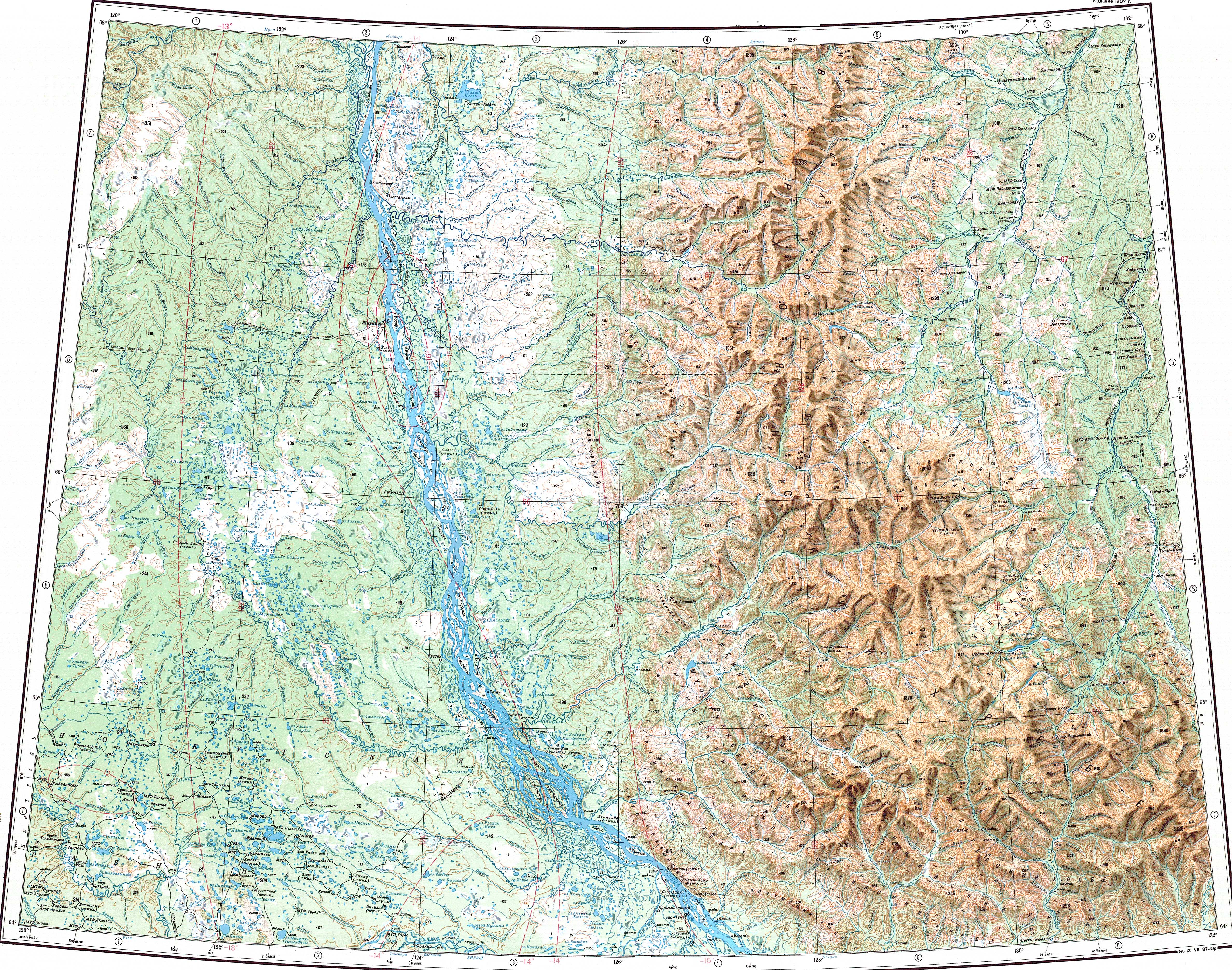
 Ulakhan-Kyuel lake ONC map section | |
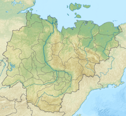 Ulakhan-Kyuel Location in the Sakha Republic, Russian Far East | |
| Location | Sakha Republic, Russia |
| Coordinates | 67°47′20″N 124°14′07″E |
| Primary outflows | Ulakhan-Kyuyol-Seene |
| Catchment area | 265 square kilometres (102 sq mi) |
| Basin countries | Russia |
| Max. length | 12.8 km (8.0 mi) |
| Max. width | 11.5 km (7.1 mi) |
| Surface area | 74 square kilometres (29 sq mi) |
| Frozen | September to June |
| Islands | Yes |
| References | Google Maps[1] |
It is the largest lake in Zhigansky District. The Ulakhan-Kyuel has a 11,046 ha (27,300 acres) protected area of regional significance that was established in 1994.[2]
Geography
Ulakhan-Kyuel lake is located near the eastern bank of the Lena, about 30 km (19 mi) in a straight line to the east of it. It is one of the largest lakes in the Central Yakut Plain.[3] Flowing northwards from the lake at the northern end is river Ulakhan-Kyuyol-Seene (Улахан-Кюёль-Сээнэ),[5] a tributary of river Seen-Yurekh, the largest tributary of the Natara.[6]
Heading west, the Menkere, a tributary of the Lena, describes a wide, roughly semicircular, arch around the southern sector of the Ulakhan-Kyuel in its lower course. The area between the lake and the banks of the Menkere is over 7 km (4.3 mi) wide.[3][7]
See also
References
- Ozero Ulakhan-Kyuyel'
- Озеро Улахан Кюель - ООПТ России
- "Q-51_52 Topographic Chart (in Russian)". Retrieved 12 May 2022.
- "Озеро Улахан-Кюёль in the State Water Register of Russia". textual.ru (in Russian).
- "Река Улахан-Кюёль-Сээнэ in the State Water Register of Russia". textual.ru (in Russian).
- "Река Сээн-Юрэх (Кэлтэкэ) in the State Water Register of Russia". textual.ru (in Russian).
- Google Earth
External links
This Sakha Republic location article is a stub. You can help Wikipedia by expanding it. |
Другой контент может иметь иную лицензию. Перед использованием материалов сайта WikiSort.org внимательно изучите правила лицензирования конкретных элементов наполнения сайта.
WikiSort.org - проект по пересортировке и дополнению контента Википедии