geo.wikisort.org - Reservoir
The Mitti Dam is a concrete and earthen dam built on the Mitti River in Abdasa Taluka, Kutch District, Gujarat, India. The Mitti River is an intermittent stream[1] and provides a catchment area of 468.78 square kilometres (115,840 acres) for the reservoir.[2] The dam is located near the village of Trambau and was completed in 1983.[3] The dam is 4405 m long,[3] and has 17.40 million cubic metres (MCM) of gross storage, 2.68 MCM of dead storage, and 14.72 MCM of live storage capacity.[2]
| Mitti Dam | |
|---|---|
| Country | India |
| Coordinates | 23°20′16″N 68°49′50″E |
Notes
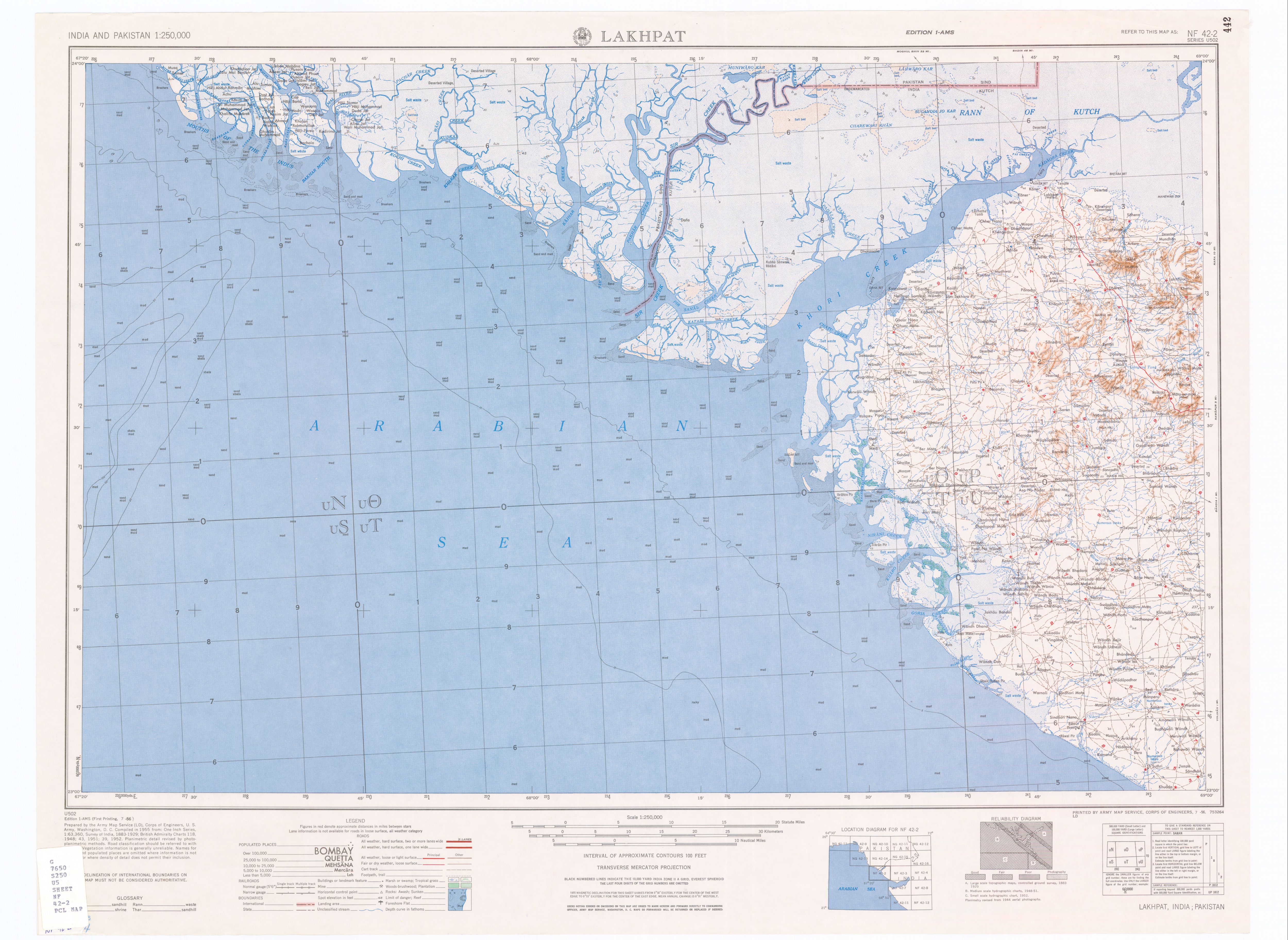
- Lakhpat, India, Sheet NF 42-2 (topographic map, scale 1:250,000), Series U-502, United States Army Map Service, July 1956
- Jain, S. Sharad Kumar; Agarwal, Pushpendra K. & Singh, V. Vijay P. (2007). Hydrology and Water Resources of India. Dordrecht, Netherlands: Springer Verlag. p. 750. ISBN 978-1-4020-5179-1.
- "Mitti D02052". India-WRIS (Water Resources Information System of India). Archived from the original on 5 June 2013.
Further reading
- National Institute of Hydrology (India) (1994). Dam Break Study of Mitti Dam. Roorkee, Uttarakhand, India: National Institute of Hydrology. OCLC 663571248.
This article about a location in Kutch district, Gujarat, India is a stub. You can help Wikipedia by expanding it. |
This article about a dam, floodgate or canal in India is a stub. You can help Wikipedia by expanding it. |
Текст в блоке "Читать" взят с сайта "Википедия" и доступен по лицензии Creative Commons Attribution-ShareAlike; в отдельных случаях могут действовать дополнительные условия.
Другой контент может иметь иную лицензию. Перед использованием материалов сайта WikiSort.org внимательно изучите правила лицензирования конкретных элементов наполнения сайта.
Другой контент может иметь иную лицензию. Перед использованием материалов сайта WikiSort.org внимательно изучите правила лицензирования конкретных элементов наполнения сайта.
2019-2025
WikiSort.org - проект по пересортировке и дополнению контента Википедии
WikiSort.org - проект по пересортировке и дополнению контента Википедии