geo.wikisort.org - Reservoir
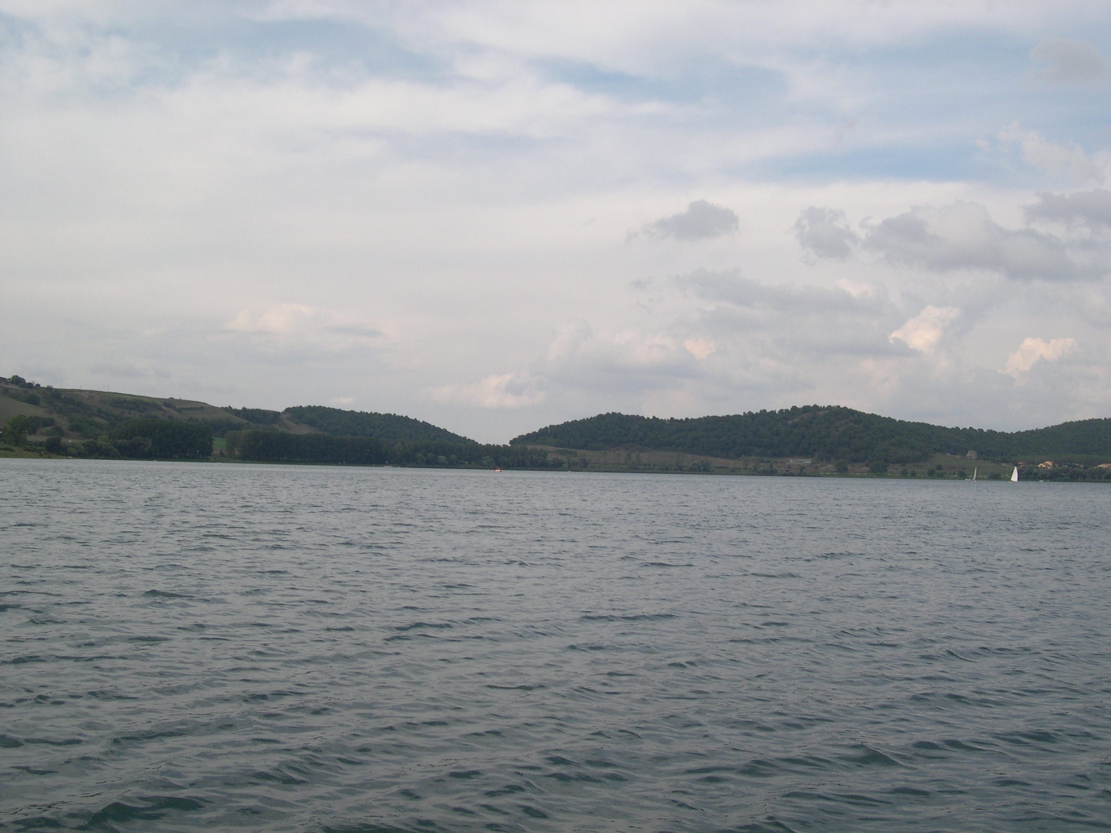
Lake Martignano (Italian: Lago di Martignano), is a small lake in Lazio, Italy 24 kilometres (15 mi) north-north-west of Rome, in an extinct crater or maar.[1] Administratively its coast is divided amongst the municipalities of Rome, Anguillara Sabazia and Campagnano di Roma.
This article is largely based on an article in the out-of-copyright Encyclopædia Britannica Eleventh Edition, which was produced in 1911. (March 2017) |
| Lake Martignano | |
|---|---|
 | |
 Lake Martignano | |
| Location | Province of Rome, Lazio |
| Coordinates | 42°6′46″N 12°18′54″E |
| Basin countries | Italy |
| Max. length | 2.015 km (1.252 mi) |
| Max. width | 1.545 km (0.960 mi) |
| Surface area | 2.44 km2 (0.94 sq mi) |
| Max. depth | 60 m (200 ft) |
| Shore length1 | 6 km (3.7 mi) |
| Surface elevation | 305 m (1,001 ft) |
| 1 Shore length is not a well-defined measure. | |
Overview
In ancient times Lake Martignano was part of southern Etruria and called Alsietinus Lacus. Augustus drew from it the Aqua Alsietina; the water was hardly fit to drink, and was mainly intended to supply his naumachia (lake made for a sham naval battle) at Rome, near San Francesco a Ripa, on the right bank of the Tiber, where some traces of the aqueduct were perhaps found in 1720.[1] The course of the aqueduct, which was mainly subterranean, is practically unknown: Frontinus tells us that it received a branch from the lake of Bracciano near Careiae (Galera): and an inscription relating to it was found in this district in 1887.[2]
There is a lawn beach, lake-side cafes and restaurants, and walking tracks.
Nearby towns
- Campagnano di Roma
- Bracciano
- Anguillara Sabazia
- Trevignano Romano
- Oriolo Romano
- Sutri
- Capranica
- Cesano
Notes
- Chisholm 1911, p. 757.
- Chisholm 1911, p. 757 cites F. Barnabei, Notizie degli Scavi, 1887, 181.
References
Attribution:
- This article incorporates text from a publication now in the public domain: Chisholm, Hugh, ed. (1911). "Alsietinus Lacus". Encyclopædia Britannica. Vol. 1 (11th ed.). Cambridge University Press. p. 757.
Further reading
- Kelly, M. G.; Huntley, B. (1991). "An 11 000-year record of vegetation and environment from Lago di Martignano, Latium, Italy". Journal of Quaternary Science. 6 (3): 209–224. Bibcode:1991JQS.....6..209K. doi:10.1002/jqs.3390060304.
На других языках
[de] Lago di Martignano
Der Lago di Martignano (auch Martignanosee; lateinisch Lacus Alsietinus) ist ein See in Latium.- [en] Lake Martignano
[fr] Lac de Martignano
Le lac de Martignano (en italien : lago di Martignano) est un lac d'Italie centrale, situé dans la région Latium. D'origine volcanique, ce lac situé dans un cratère éteint s'étend sur 2,44 km2 près du lac de Bracciano sur les communes de Anguillara Sabazia et Campagnano di Roma et la zone de Rome de Polline Martignano.[it] Lago di Martignano
Il lago di Martignano, originariamente chiamato Lago Alsietino (in latino: Lacus Alsietinus), è un lago del Lazio, di origine vulcanica, come il vicino Lago di Bracciano (lacus Sabatinus).[ru] Мартиньяно (озеро)
Мартиньяно[2] (итал. Martignano)[1] — небольшое кратерное озеро в центральной части Италии. Располагается в 2 км восточнее озера Браччано, на территории провинции Рим в Лацио[3][4].Другой контент может иметь иную лицензию. Перед использованием материалов сайта WikiSort.org внимательно изучите правила лицензирования конкретных элементов наполнения сайта.
WikiSort.org - проект по пересортировке и дополнению контента Википедии