geo.wikisort.org - Reservoir
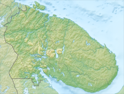
Imandra (Skolt Sami: Âʹvverjäuʹrr, Russian: Имандра, Finnish: Imantero) is a lake in the south-western part of the Kola Peninsula in Murmansk Oblast, Russia, slightly beyond the Arctic circle. It is located 127 m above sea level; its area is about 876 km2, maximum depth is 67 m. The shape of the shore line is complicated. There are a number of islands and the largest one, Erm Island measures 26 km2. There are three principal parts of the lake connected by narrow straits: Greater Imandra (Большая Имандра) or Khibinskaya Imandra in the north (area 328 km2, length about 55 km, width 3–5 km), Ekostrovskaya Imandra in the centre (area 351 km2), and Babinskaya Imandra in the west (area 133 km2). The lake drains into the Kandalaksha Gulf of the White Sea by the Niva River. The lake is known for the transparency of its water and its abundance of fish.
| Lake Imandra | |
|---|---|
 | |
 Lake Imandra  Lake Imandra | |
| Location | Kola Peninsula, Murmansk Oblast |
| Coordinates | 67°40′N 33°00′E |
| Primary outflows | Niva River |
| Basin countries | Russia |
| Surface area | 876 km2 (338 sq mi) |
| Max. depth | 67 m (220 ft) |
| Surface elevation | 127 m (417 ft) |
| Frozen | Winter |
| Islands | Erm Island |
Towns on or near the lake
The town of Monchegorsk, located on the Monche-Guba inlet in the north-western part of the lake, is known as a centre of winter sports. During the summer, many residents enjoy boating on the lake, while in winter the frozen lake is popular with cross-country skiers.
Apatity is located near the eastern shore of the lake, and Polyarnye Zori are on the Niva River a few kilometers below its outflow from the lake.
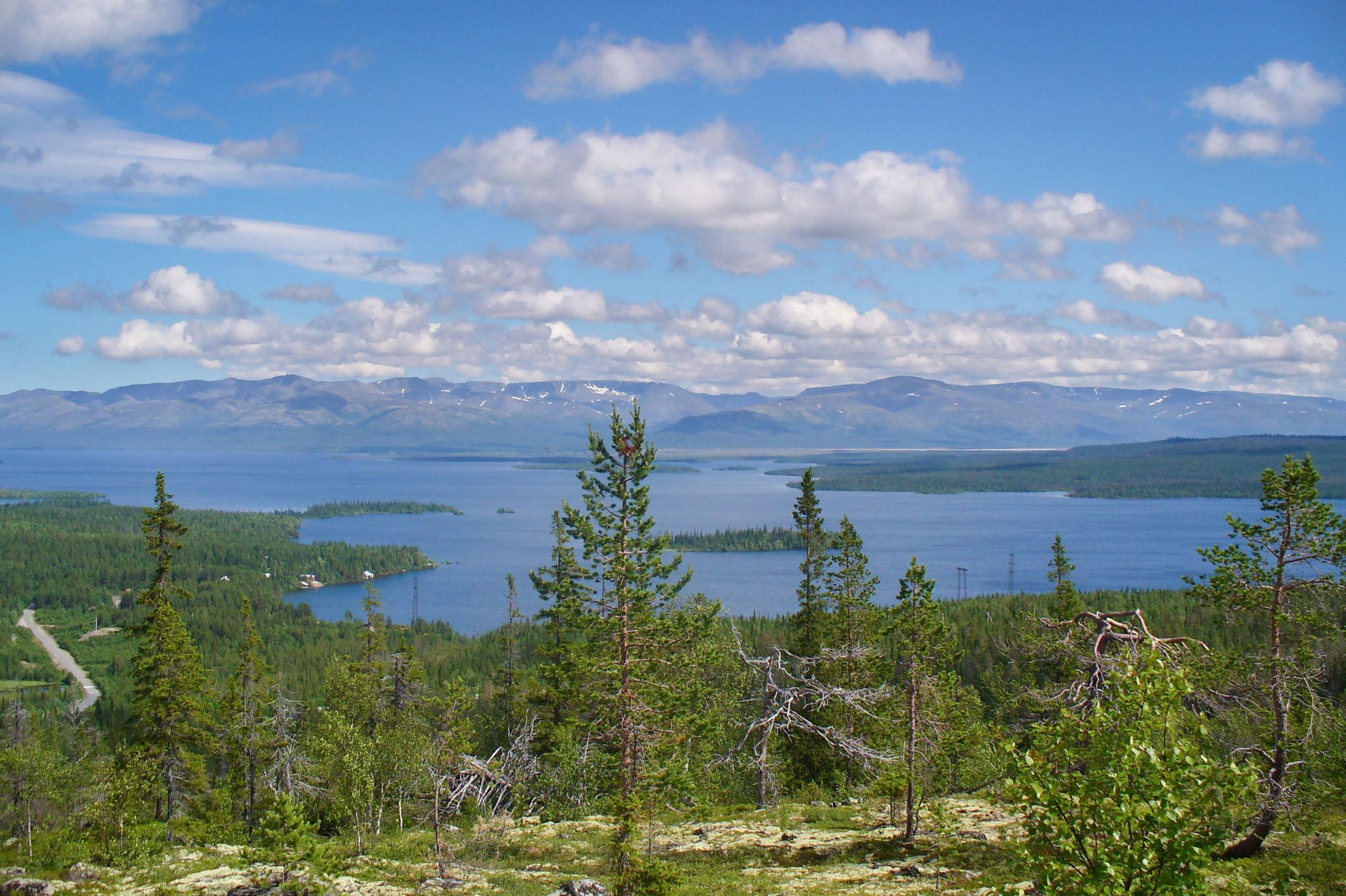
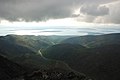 View on lake Imandra from the Khibiny Mountains
 A section of the Monche Guba in Monchegorsk (running across the photo from right to left)
 Satellite image


Navigation
Presently, Lake Imandra is only used by local residents for recreational boating.
However, for several years in the 1930s, before the railway branch between Monchegorsk and the Leningrad-Murmansk mainline was built, Monchegorsk was connected to the rest of the country in summer by boat across Lake Imandra. Ferries from Monchegorsk would dock in Tik-Guba (today's Apatity), on the main rail line.[1]
Notes
- M.P. Ilyina, "Этого забыть нельзя" (This cannot be forgotten), in "Спецпереселенцы в Хибинах : Спецпереселенцы и заключенные в истории освоения Хибин : (книга воспоминаний)" ('Special settlers' in the Khibins: Special settlers and convicts in the history of the developments of the Khibins). The Khibiny Branch of the Memorial Society, Apatity, 1997, p. 115
| Authority control |
|
|---|
На других языках
[de] Imandra
Der Imandra (russisch Имандра, finnisch Imantero) ist ein See im südwestlichen Teil der Halbinsel Kola in der Oblast Murmansk in Russland, jenseits des Polarkreis. Der Wasserspiegel liegt 126,7 m über Meereshöhe; seine Fläche beträgt 812 km², die maximale Tiefe beträgt 67 m. Die Gestalt seiner Uferlinie ist kompliziert. Es gibt eine Vielzahl an Inseln, die größte Insel ist Jerm (26 km²). Die drei Hauptteile des Sees sind über schmale Wasserstraßen miteinander verbunden:- [en] Lake Imandra
[es] Lago Ímandra
El lago Ímandra (en ruso: Имандра), en finés, Imantero es un lago de Rusia situado en la península de Kola, en el óblast de Múrmansk. Su superficie es de alrededor de 876 km². Los contornos del lago describen una forma muy complicada. El lago Ímandra tiene más de 140 islas, siendo la más extensa es la isla de Erm, que tiene 26 km². El lago incluye tres partes principales conectadas por estrechos canales:[fr] Lac Imandra
Le lac Imandra (en russe : Имандра) est un lac du sud-ouest de la péninsule de Kola, dans l'oblast de Mourmansk, en Russie. Il est à 127 m au-dessus du niveau de la mer. Sa superficie est de 876 km2 et sa profondeur maximale 67 m. Les contours du lac décrivent une forme très compliquée. Le lac Imandra comporte un grand nombre d'îles dont la plus vaste, l'île Erm, mesure 26 km2. Le lac comprend trois parties principales reliées par d'étroits chenaux :[it] Lago Imandra
Imandra (russo: Имандра, finnico: Imantero) è un lago nel sud-occidente della penisola di Kola nell'oblast' di Murmansk nella Russia europea. Il lago è nel Circolo polare artico e perciò nei mesi più freddi il lago gela. Il lago è di origine glaciale e prende il nome dalla città rurale situata nelle coste settentrionali del lago di Imandra.[ru] Имандра
И́мандра (саам. Оэверь, Аверь)[2] — озеро в западной части Кольского полуострова, крупнейшее в Мурманской области и 14-е в России по площади водного зеркала. После создания на реке Ниве каскада гидроэлектростанций оказалось в зоне подпора и стало водохранилищем с многолетним регулированием[3].Другой контент может иметь иную лицензию. Перед использованием материалов сайта WikiSort.org внимательно изучите правила лицензирования конкретных элементов наполнения сайта.
WikiSort.org - проект по пересортировке и дополнению контента Википедии