geo.wikisort.org - Reservoir
Lac La Belle is a 1,146-acre (464 ha) lake in Grant Township, Keweenaw County, Michigan.[1] The lake is surrounded by dense forest cover of the Keweenaw Peninsula. The bottom is mainly mud and it has a maximum depth of 38 feet (12 m). The Little Gratiot River flows into the lake on the west shore and the lake empties through the Mendota Canal into Lake Superior. There is a state owned boat launch on the north side of the lake near the community of Lac La Belle.[2]
| Lac La Belle | |
|---|---|
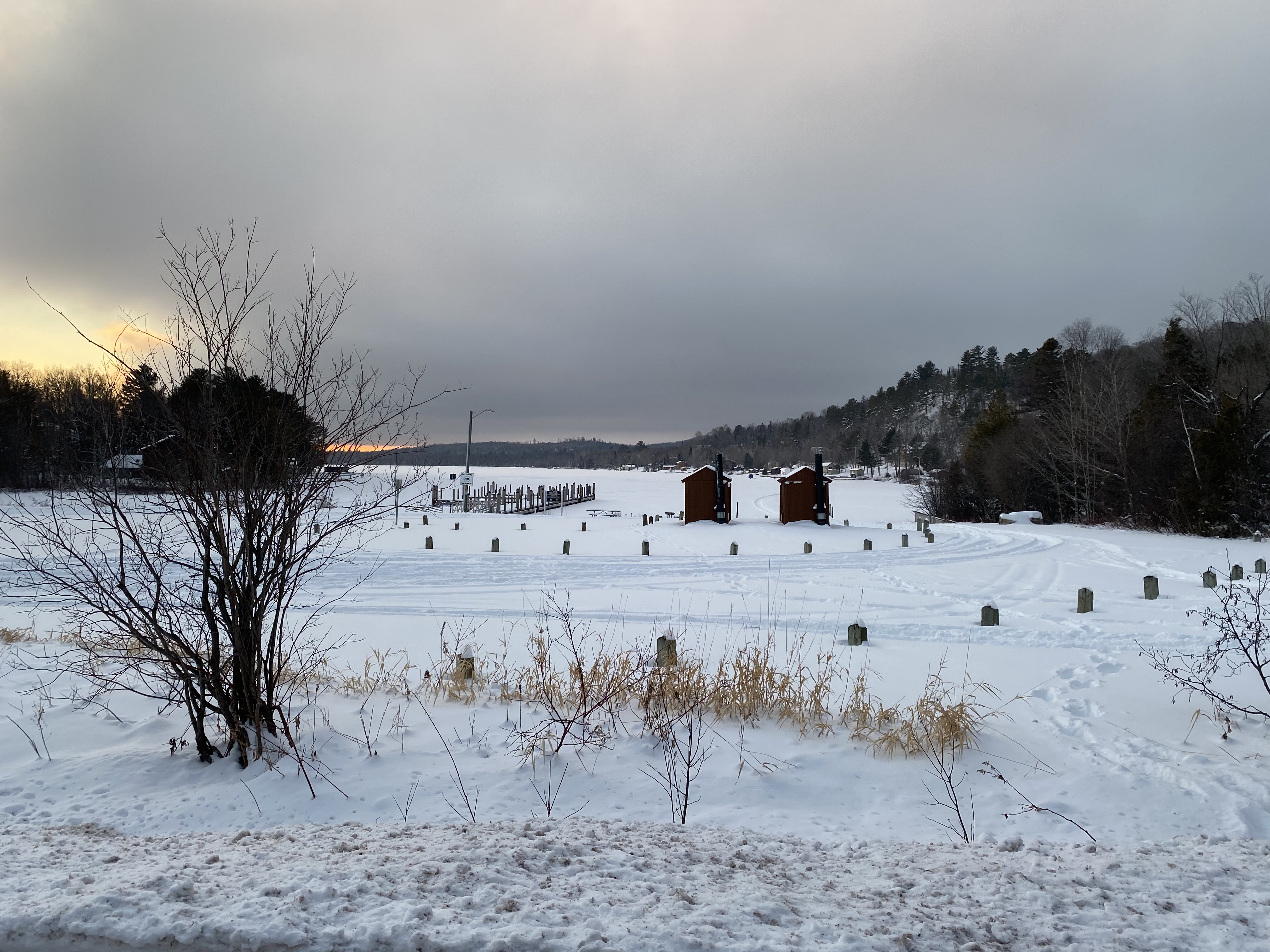
 Frozen Lac La Belle in January 2021. | |
 Lac La Belle  Lac La Belle | |
| Location | Grant Township, Keweenaw County, Michigan |
| Coordinates | 47.3748894°N 88.0081873°W |
| Primary inflows | Little Gratiot River, Haven Creek |
| Primary outflows | Mendota Canal |
| Surface area | 1,146 acres (464 ha) |
| Max. depth | 38 feet (12 m) |
| Surface elevation | 600 feet (180 m) |
| Settlements | Lac La Belle |
Haven Falls is a waterfall that is part of the Haven Creek. The falls are located approximately 500 feet (150 m) from the inflow to Lac La Belle.[3]
See also
- List of lakes in Michigan
References
- "Feature Detail Report for: Lac La Belle". USGNIS. U.S. Department of the Interior. Retrieved 8 January 2021.
- "Lac La Belle". Keweenaw Convention & Visitors Bureau. Retrieved 8 January 2021.
- "Haven Falls". gowaterfalling.com. Retrieved 8 January 2021.
This Keweenaw County, Michigan location article is a stub. You can help Wikipedia by expanding it. |
This article about a lake is a stub. You can help Wikipedia by expanding it. |
На других языках
- [en] Lac La Belle (Michigan)
[fr] Lac La Belle
Le lac La Belle est une étendue d'eau située dans l'État du Michigan aux États-Unis.Другой контент может иметь иную лицензию. Перед использованием материалов сайта WikiSort.org внимательно изучите правила лицензирования конкретных элементов наполнения сайта.
WikiSort.org - проект по пересортировке и дополнению контента Википедии