geo.wikisort.org - Reservoir
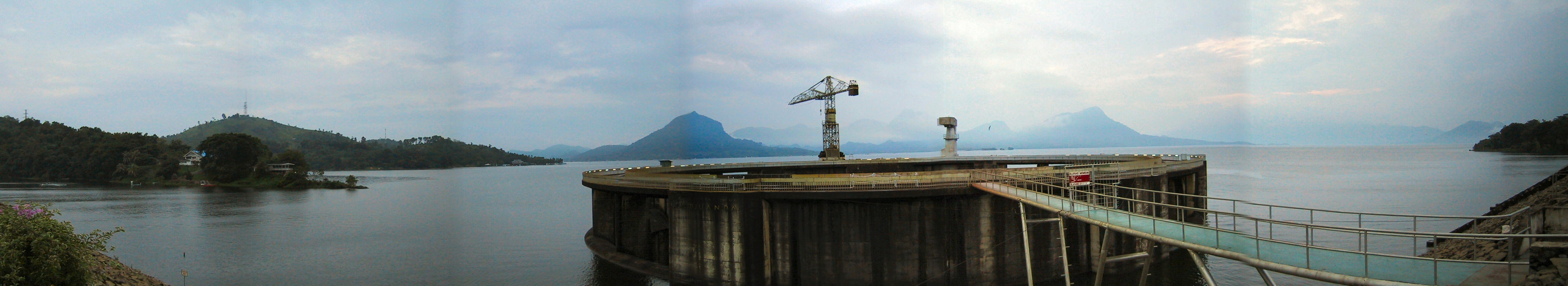
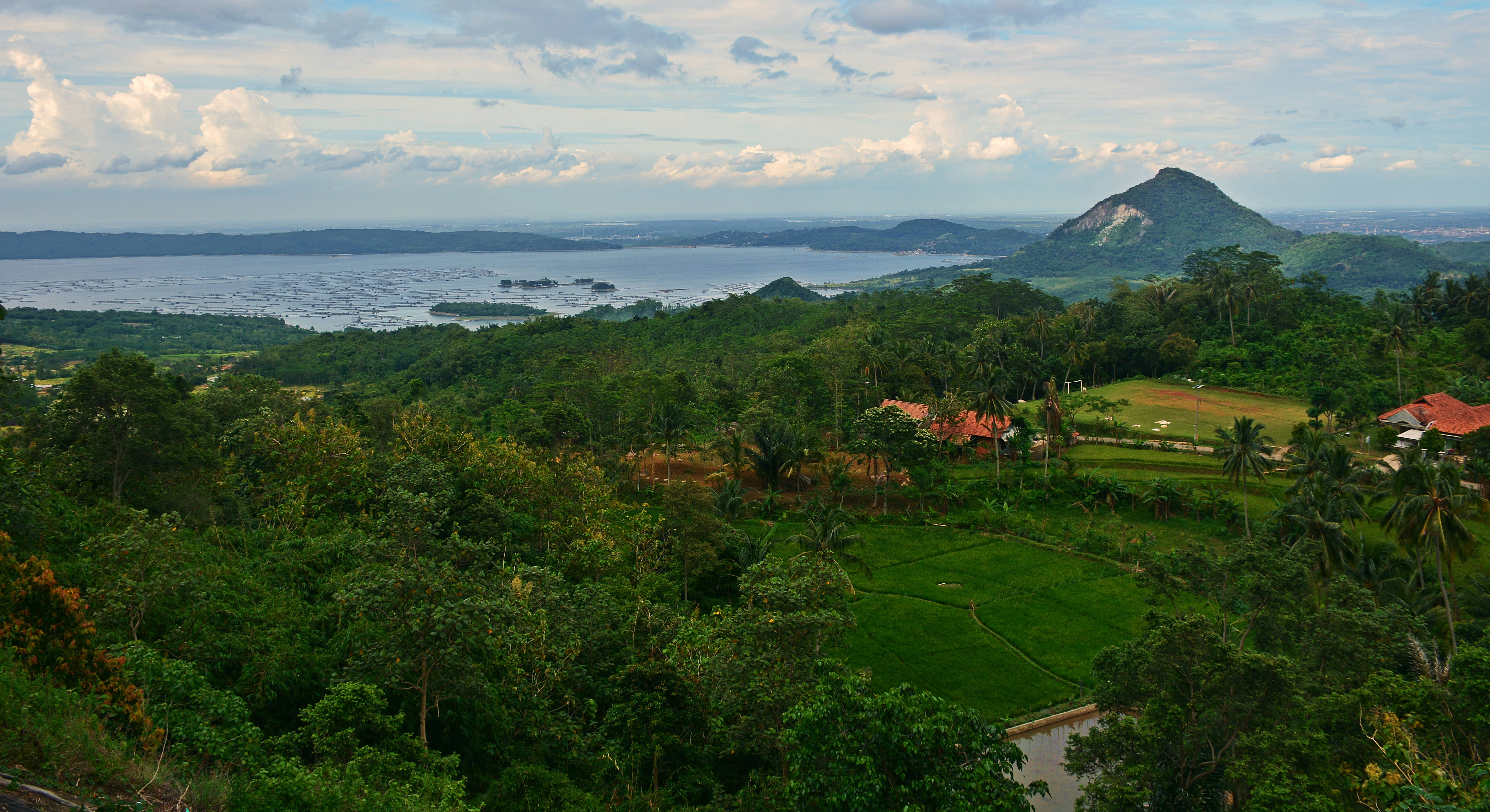
The Jatiluhur Dam is a multi-purpose embankment dam on the Citarum River in West Java, Indonesia. It is located 70 km (43 mi) east of Jakarta, close to the medium-size town of Purwakarta.
| Jatiluhur Dam | |
|---|---|
 Location of Jatiluhur Dam in Indonesia | |
| Official name | Ir. H. Djuanda Dam |
| Country | Indonesia |
| Location | Purwakarta |
| Coordinates | 6°31′25″S 107°23′18″E |
| Status | Operational |
| Construction began | 1957 |
| Opening date | 1965 |
| Dam and spillways | |
| Type of dam | Embankment, earth-fill |
| Impounds | Citarum River |
| Height | 105 m (344 ft) |
| Length | 1,200 m (3,937 ft) |
| Elevation at crest | 114.5 m (376 ft) |
| Width (crest) | 10 m (33 ft) |
| Width (base) | 600 m (1,969 ft) |
| Dam volume | 9,100,000 m3 (11,902,351 cu yd) |
| Spillway type | Morning glory |
| Spillway capacity | 3,000 m3/s (105,944 cu ft/s) |
| Reservoir | |
| Total capacity | 3,000,000,000 m3 (2,432,140 acre⋅ft) |
| Catchment area | 4,500 km2 (1,737 sq mi) |
| Surface area | 83 km2 (32 sq mi) |
| Normal elevation | 107 m (351 ft) |
| Power Station | |
| Operator(s) | Perum Jasa Tirta II |
| Commission date | 1967 |
| Hydraulic head | 80.2 m (263 ft) (max) |
| Turbines | 6 x 32.3 MW Francis-type |
| Installed capacity | 186.5 MW[1] |
Jatiluhur Dam was designed by Coyne et Bellier and was constructed between 1957 and 1965 while the power station become operational in 1967. The dam serves several purposes including the provision of hydroelectric power generation, water supply, flood control, irrigation and aquaculture. The power station has an installed capacity of 186.5 MW which feeds into the Java grid managed by the state-owned electricity company Perusahaan Listrik Negara. The Jatiluhur reservoir helps irrigate 240,000 ha (593,053 acres) of rice fields. The earth-fill dam is 105 m (344 ft) high and withholds a reservoir of 3,000,000,000 m3 (2,432,140 acre⋅ft), the largest in the country.[2][3][4]

See also
- List of power stations in Indonesia
References
- "Hydroelectric - Jatiluhur" (PDF) (in Indonesian). Perum Jasa Tirta II. Retrieved 19 January 2012.[permanent dead link]
- Javed, Farhat; Muhammad Asghar Nasim (2005). "Construction of Seepage Measurement System at Jatiluhur Dam, Indonesia". Electronic Journal of Geotechnical Engineering. Archived from the original on 2015-01-03. Retrieved 19 January 2012.
- "Jatiluhur Indonesia" (in French). Planete TP. Retrieved 19 January 2012.
- "Country Report: Indonesia" (PDF). Asian Development Bank. Archived from the original (PDF) on 24 December 2004. Retrieved 19 January 2012.
Hydroelectric dams on the Citarum River | |
|---|---|
Другой контент может иметь иную лицензию. Перед использованием материалов сайта WikiSort.org внимательно изучите правила лицензирования конкретных элементов наполнения сайта.
WikiSort.org - проект по пересортировке и дополнению контента Википедии