geo.wikisort.org - Reservoir
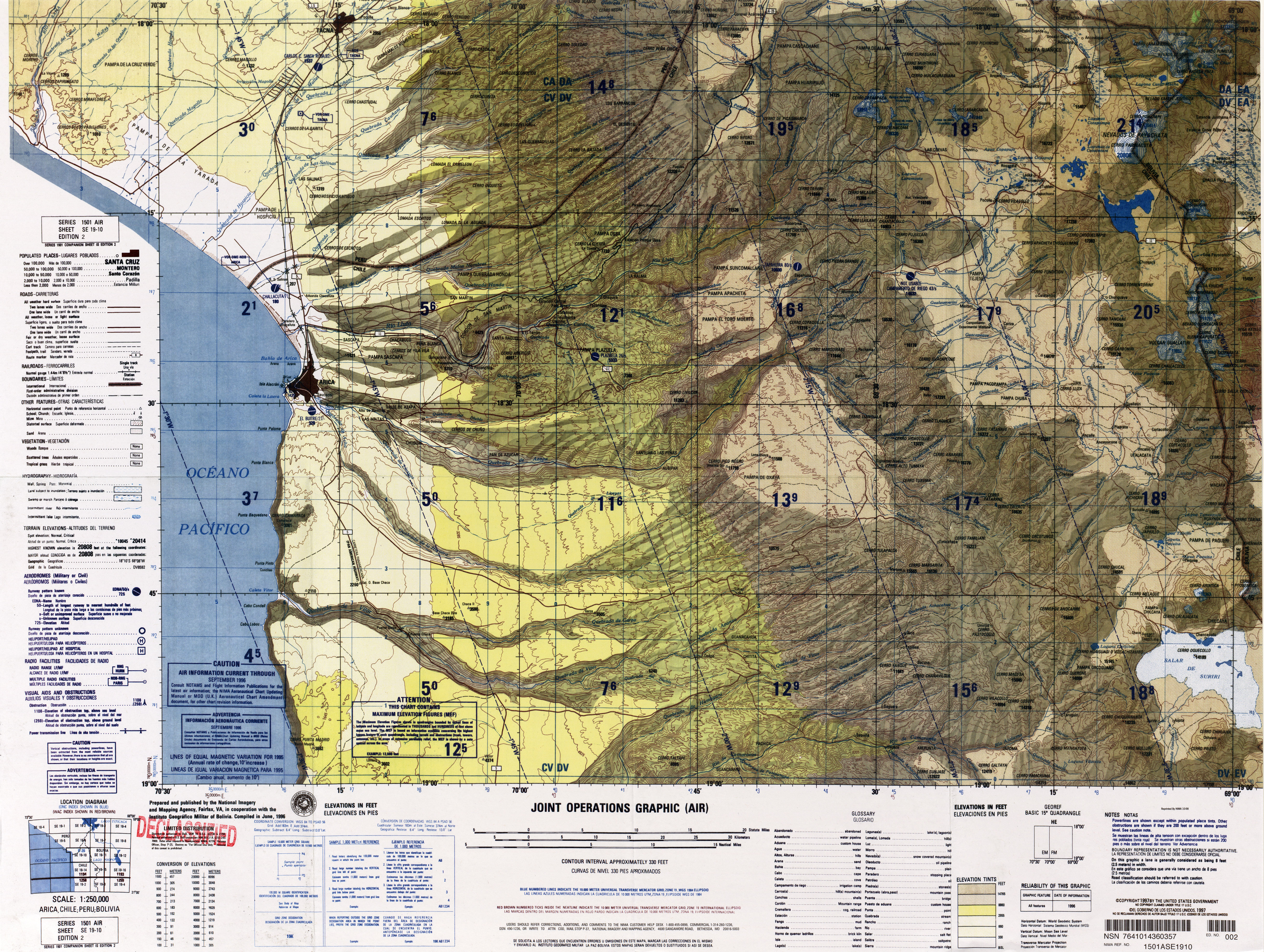
Ch'iyar Quta (Aymara ch'iyara black, quta lake,[1] "black lake", hispanicized spellings Chiar Kkota[2][3] and erroneously also Chiar Kkola) is a small Bolivian lake located in the Sajama Province of the Oruro Department near the border to Chile. It is situated at a height of about 5,090 meters (16,700 feet) inside the boundaries of the Sajama National Park.[4] Ch'iyar Quta lies south-east of the peaks of Laram Q'awa, Milluni and Kunturiri, south-west of Jisk'a Kunturiri and north of Patilla Pata.[5]
| Ch'iyar Quta | |
|---|---|
 Ch'iyar Quta (Oruro)  Ch'iyar Quta (Oruro) | |
| Location | Bolivia, Oruro Department, Sajama Province |
| Coordinates | 18°2′59″S 69°3′3″W |
| Surface elevation | 5,090 m (16,700 ft) |
 | |
See also
References
- Radio San Gabriel, "Instituto Radiofonico de Promoción Aymara" (IRPA) 1993, Republicado por Instituto de las Lenguas y Literaturas Andinas-Amazónicas (ILLLA-A) 2011, Transcripción del Vocabulario de la Lengua Aymara, P. Ludovico Bertonio 1612 (Spanish-Aymara-Aymara-Spanish dictionary)
- Curahuara de Carangas Municipality: population data and map Archived 2014-11-11 at the Wayback Machine
- upload.wikimedia.org/
- lib.icimod.org Archived 2014-03-09 at the Wayback Machine Dirk Hoffmann, The Sajama National Park in Bolivia, Mountain Research and Development Vol 27 No 1 February 2007 (see map on p. 12)
- BIGM map 1:50,000 Nevados Payachata Hoja 5739-I
Текст в блоке "Читать" взят с сайта "Википедия" и доступен по лицензии Creative Commons Attribution-ShareAlike; в отдельных случаях могут действовать дополнительные условия.
Другой контент может иметь иную лицензию. Перед использованием материалов сайта WikiSort.org внимательно изучите правила лицензирования конкретных элементов наполнения сайта.
Другой контент может иметь иную лицензию. Перед использованием материалов сайта WikiSort.org внимательно изучите правила лицензирования конкретных элементов наполнения сайта.
2019-2025
WikiSort.org - проект по пересортировке и дополнению контента Википедии
WikiSort.org - проект по пересортировке и дополнению контента Википедии