geo.wikisort.org - Mountains
Kunturiri (Aymara kunturi condor,[3] -ri a suffix, Hispanicized spelling Condoriri) is a volcano in the Andes on the border of Bolivia and Chile[4] which rises up to 5,762 metres (18,904 ft). On the Chilean side it is located in the Arica and Parinacota Region and on the Bolivian side in the Oruro Department, Sajama Province, Curahuara de Carangas Municipality, Sajama Canton as well as in the La Paz Department, Pacajes Province, Calacoto Municipality, Ulloma Canton.
| Kunturiri | |
|---|---|
 Map of the Kunturiri complex | |
| Highest point | |
| Elevation | 5,762 m (18,904 ft)[1] |
| Coordinates | 18°2′30″S 69°4′28″W |
| Geography | |
 Kunturiri Location in Bolivia, on the border with Chile | |
| Location | Bolivia / Chile |
| Parent range | Andes |
| Geology | |
| Age of rock | 650,000 ± 70,000 years[2] |

Northeast of it in Bolivian territory lies Jach'a Kunturiri, due east lies Nevado Pumuta, due south Patilla Pata and northwest lies Laram Q'awa. The mountain is covered by ice along with some of the surrounding mountains and is the source of a number of rivers that flow down its slopes.[4]
Kunturiri is part of a complex of volcanoes along the frontier between Bolivia and Chile, which have developed atop older ignimbrites of unknown thickness.[5] Three separate stratovolcanoes generated through both effusive eruptions and explosive eruptions make up the Kunturiri complex.[6] It is formed by rocks ranging from rhyodacite to rhyolite and which contain phenocrysts of biotite, plagioclase and pyroxene.[5]
The Kunturiri volcanic complex 3-2.2 million years ago was the origin of the large Lauca-Perez Ignimbrite, which covered about 15,000–20,000 square kilometres (5,800–7,700 sq mi) of land with over 775 cubic kilometres (186 cu mi) and reached as far as the Pacific Ocean, leaving a distinctive landscape on the Altiplano. The eruption left a caldera now presumably buried underneath the Kunturiri volcanic complex.[7] While the volcanic complex was once considered to be 7-9 million years old, later efforts have found younger ages[6] and argon-argon dating has yielded ages of 650,000 ± 70,000 years ago for rocks erupted from the Kunturiri volcanic complex;[8] there is no fumarolic activity at Kunturiri, but Kakepe has hydrothermal activity.[5]
Other volcanoes in the area are Pomerape and Parinacota[5] which are constructed on the so-called Condoriri lineament together with Kunturiri; this lineament may act as a magma pathway to the three volcanoes.[9]
See also
- Kunturiri (Los Andes)
- List of mountains in the Andes
- Sajama National Park
References
- BIGM map 1:50,000 Nevados Payachata Hoja 5739-I
- Clavero, J.E.; Sparks, R.S.J.; Polanco, E. 2012. Geología del Volcán Parinacota, Región de Arica y Parinacota (versión corregida). Servicio Nacional de Geología y Minería, Carta Geológica de Chile, Serie Geología Básica 132: 31 p.11, 1 mapa escala 1:50.000.
- aymara.ucb.edu.bo Archived 2013-09-02 at the Wayback Machine Félix Layme Payrumani, Spanish-Aymara dictionary
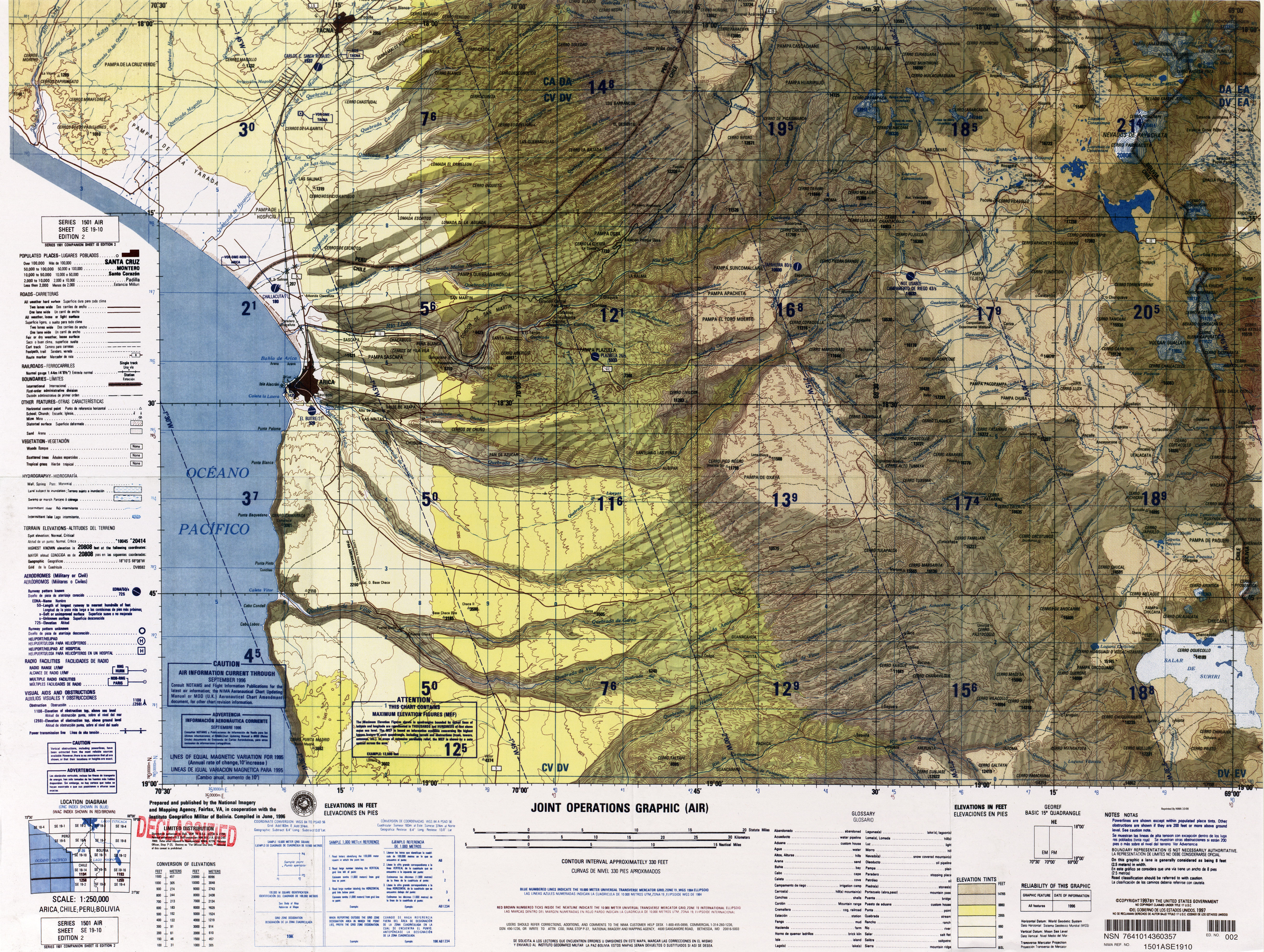
- Defense Mapping Agency (1995). "Arica, Chile; Peru; Bolivia" (Map). Latin America, Joint Operations Graphic (2 ed.). 1:250000.
- Scandiffio, G.; Rodriguez, J. (1990). "Geochemical report on the Sajama geothermal area, Bolivia" (PDF). IAEA. Retrieved 11 November 2018.
- Vargas-Mattos, Gabriela; Geraldes, Mauro Cesar; Salinas, Ramiro Matos (25 August 2016). "RECONSTRUCCIÓN GEOLÓGICA DEL VOLCÁN CHULLCANI (MIOCENO SUPERIOR A PLIOCENO SUPERIOR): CONSIDERACIONES GENERALES SOBRE GEOQUÍMICA Y EDAD DE LAS FASES VOLCÁNICAS, ANDES CENTRALES DE BOLIVIA". Revista Brasileira de Geociências (in Spanish). 36 (4): 714. ISSN 0375-7536.
- Schroder, Wolfgang; Wörner, Gerhard (1996). "Widespread Cenozoic ignimbrites in N-Chile, W-Bolivia and S-Peru (17°-200S/710-680E): Stratigraphy, extension, correlation and origin". ResearchGate.
- R, Clavero; E, Jorge; Sparks, Stephen J.; Polanco, Edmundo; Pringle, Malcolm S. (December 2004). "Evolution of Parinacota volcano, Central Andes, Northern Chile". Revista Geológica de Chile. 31 (2): 317–347. doi:10.4067/S0716-02082004000200009. ISSN 0716-0208.
- Hora, J. M.; Singer, B. S.; Worner, G. (1 March 2007). "Volcano evolution and eruptive flux on the thick crust of the Andean Central Volcanic Zone: 40Ar/39Ar constraints from Volcan Parinacota, Chile". Geological Society of America Bulletin. 119 (3–4): 360. doi:10.1130/B25954.1. ISSN 0016-7606.
На других языках
- [en] Kunturiri (Bolivia-Chile)
[es] Kunturiri
El Kunturiri (en aymara kunturi cóndor,[1] -ri un sufijo, grafía hispanizada Condoriri) es un volcán de los Andes en la frontera de Bolivia y Chile[2] que se eleva hasta los 5.762 metros. En el lado chileno se encuentra en la Región de Arica y Parinacota y en el lado boliviano en el Departamento de Oruro, Provincia de Sajama, Municipio de Curahuara de Carangas, Cantón Sajama así como en el Departamento de La Paz, Provincia de Pacajes, Municipio de Calacoto, Cantón Ulloma.Другой контент может иметь иную лицензию. Перед использованием материалов сайта WikiSort.org внимательно изучите правила лицензирования конкретных элементов наполнения сайта.
WikiSort.org - проект по пересортировке и дополнению контента Википедии