geo.wikisort.org - Reservoir
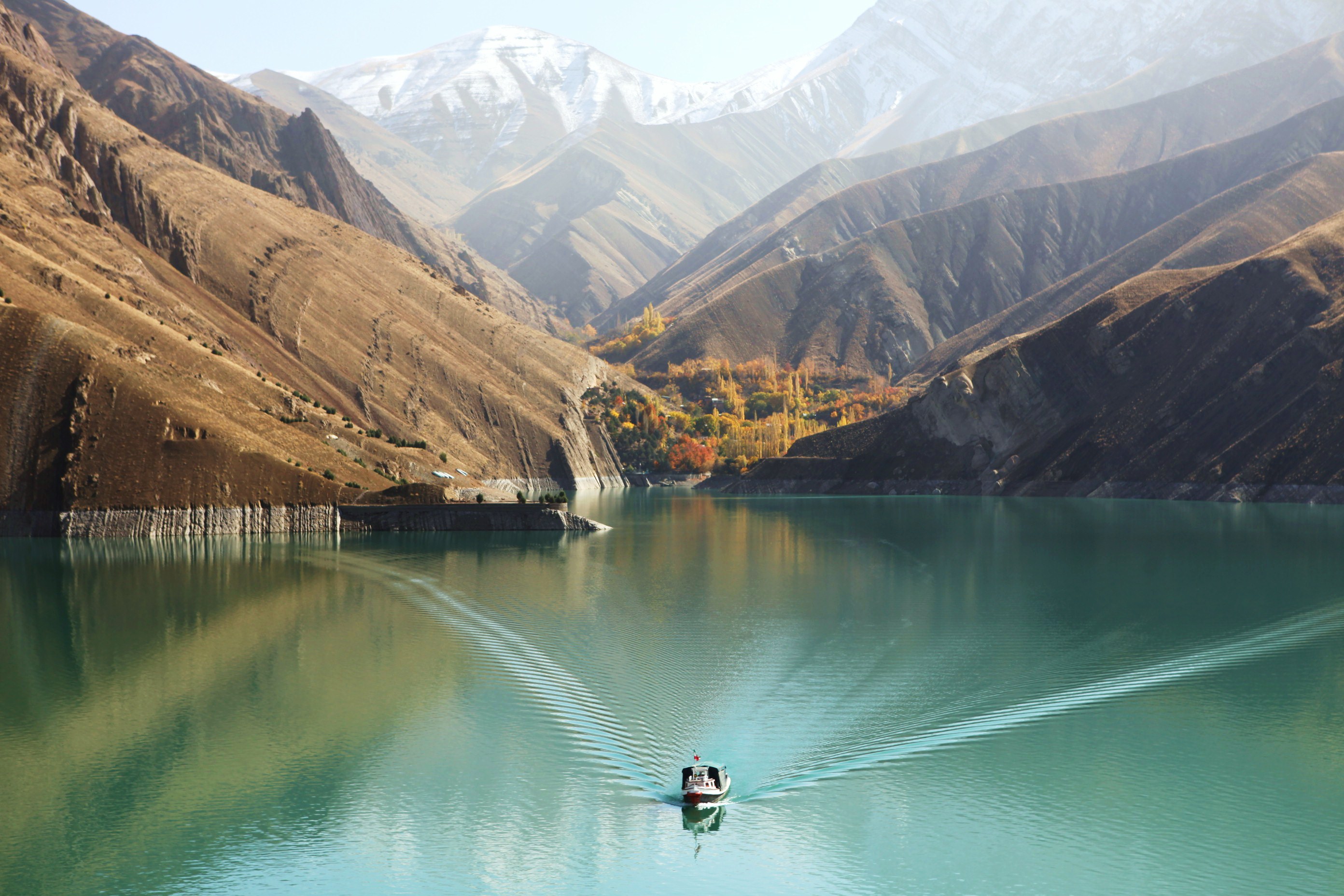
The Alavian Dam and Lake is situated on the Soofian Chay river in East Azerbaijan Province, north-western Iran. It is located about 3 kilometres north of Maraqeh. It is an earth-fill embankment dam with a height of 76 metres and was built between 1990 and 1995; opening on January 1, 1996.[1] The dam serves to provide flood control and water supply for municipal and irrigation uses. After construction, it was noticed that the dam had settled five times more than expected. The settlement of the dam and its gallery, below the body, had unexpected differences as well. This led to "considerable" leakage in the gallery.[2]
| Alavian Dam | |
|---|---|
 | |
 Location of Alavian Dam in Iran | |
| Country | Iran |
| Location | Maraqeh |
| Coordinates | 37°26′12″N 46°15′23″E |
| Status | Operational |
| Construction began | 1990 |
| Opening date | 1996 |
| Dam and spillways | |
| Type of dam | Embankment, earth-fill |
| Impounds | Soofian Chay river |
| Height (foundation) | 76 m (249 ft) |
| Height (thalweg) | 70 m (230 ft) |
| Length | 935 m (3,068 ft) |
| Width (crest) | 10 m (33 ft) |
| Dam volume | 4,769,000 m3 (6,237,617 cu yd) |
| Reservoir | |
| Total capacity | 60,000,000 m3 (48,643 acre⋅ft) |
| Surface area | 262 ha (647 acres) |
| Normal elevation | 1,568 m (5,144 ft) |
References
- "Alavian Dam". PEGA Construction Company. Archived from the original on 25 April 2012. Retrieved 4 October 2011.
- Myrvoll, Frank, ed. (2003). Field measurements in geomechanics : proceedings of the Sixth International Symposium on Field Measurements in Geomechanics, 15–18 September 2003, Oslo, Norway. Lisse [u.a.]: Balkema. p. 313. ISBN 90-5809-602-5.
| Wikimedia Commons has media related to Alavian Dam. |
| Major reservoirs and dams in Iran |
|  |
|---|---|---|
| Under construction |
| |
| Ancient dams |
| |
Also See: Dams and reservoirs in Iran | ||
This East Azarbaijan province location article is a stub. You can help Wikipedia by expanding it. |
This article about a dam or floodgate in Iran is a stub. You can help Wikipedia by expanding it. |
Другой контент может иметь иную лицензию. Перед использованием материалов сайта WikiSort.org внимательно изучите правила лицензирования конкретных элементов наполнения сайта.
WikiSort.org - проект по пересортировке и дополнению контента Википедии