geo.wikisort.org - Montagne
Le Plynlimon (nom anglicisé depuis le mot gallois « Pumlumon » qui signifie « cinq pics ») est une montagne du pays de Galles, qui s'élève à 752 m d'altitude. Elle constitue le point culminant de la partie centrale des monts Cambriens et domine la région du Ceredigion.
Cet article est une ébauche concernant le pays de Galles et la montagne.
Vous pouvez partager vos connaissances en l’améliorant (comment ?) selon les recommandations des projets correspondants.
| Plynlimon | |||
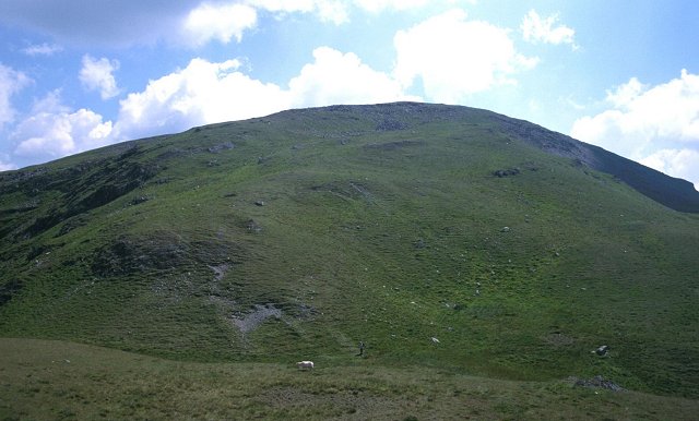 Vue du sommet du Plynlimon. | |||
| Géographie | |||
|---|---|---|---|
| Altitude | 752 m[1] | ||
| Massif | Monts Cambriens | ||
| Coordonnées | 52° 28′ 01″ nord, 3° 46′ 59″ ouest[1] | ||
| Administration | |||
| Pays | |||
| Nation constitutive | |||
| Comté | Ceredigion | ||
| Géologie | |||
| Type | Marilyn | ||
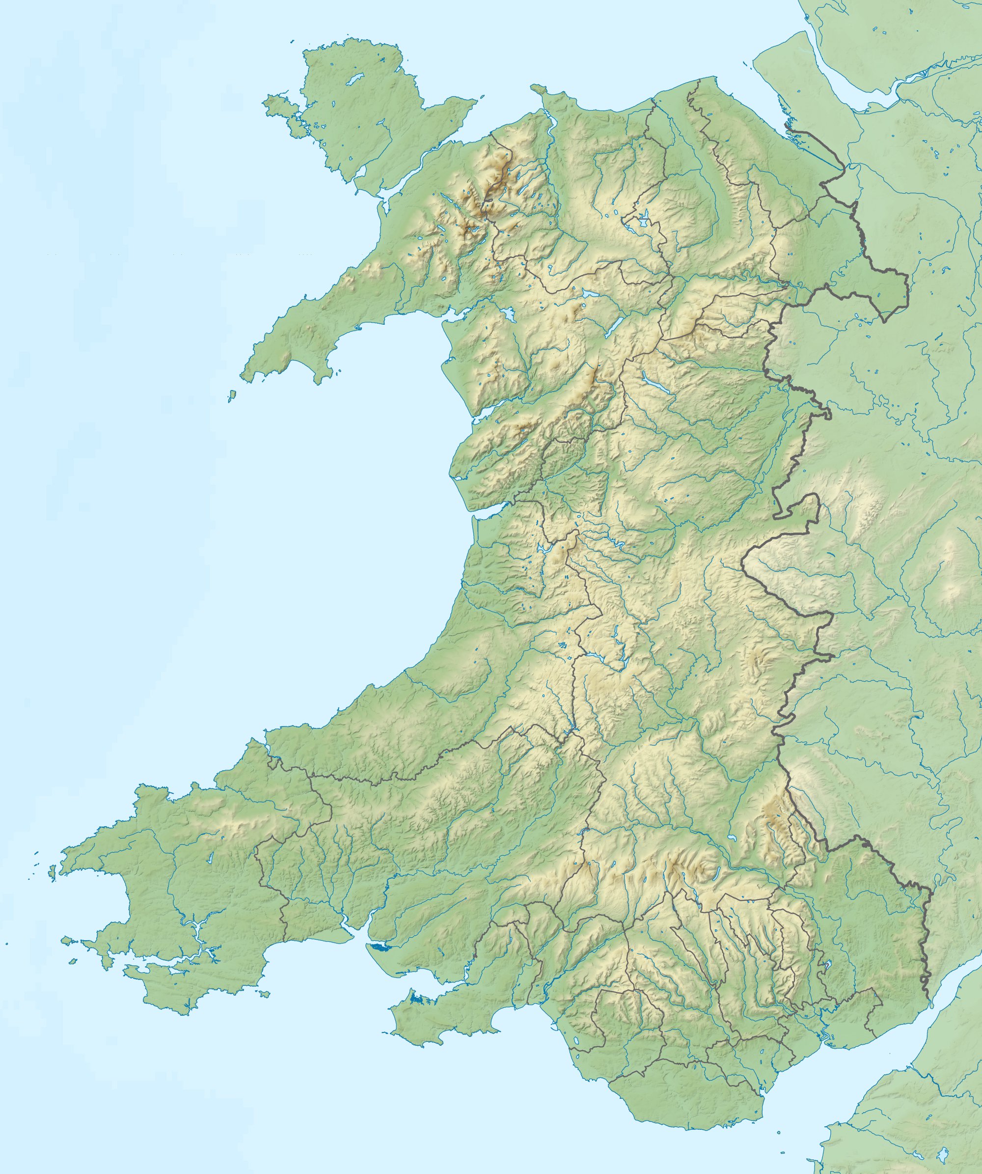
| Géolocalisation sur la carte : pays de Galles
Géolocalisation sur la carte : Royaume-Uni
| |||
| modifier |
|||

Notes et références
- (en) Cet article est partiellement ou en totalité issu de l’article de Wikipédia en anglais intitulé « Plynlimon » (voir la liste des auteurs).
- Visualisation sur les cartes de l'Ordnance Survey.
 Portail du pays de Galles
  Portail de la montagne
На других языках
[en] Plynlimon
Pumlumon (historically anglicised in various ways including Plynlimon, Plinlimon and Plinlimmon) is the highest point of the Cambrian Mountains in Wales (taking a restricted definition of the Cambrian Mountains, excluding Snowdonia, the Berwyns and the Brecon Beacons), and the highest point in Mid Wales. It is a massif that dominates the surrounding countryside and is the highest point (county top) of Ceredigion (both the modern council area, and the historic county, also known as Cardiganshire).- [fr] Plynlimon
Текст в блоке "Читать" взят с сайта "Википедия" и доступен по лицензии Creative Commons Attribution-ShareAlike; в отдельных случаях могут действовать дополнительные условия.
Другой контент может иметь иную лицензию. Перед использованием материалов сайта WikiSort.org внимательно изучите правила лицензирования конкретных элементов наполнения сайта.
Другой контент может иметь иную лицензию. Перед использованием материалов сайта WikiSort.org внимательно изучите правила лицензирования конкретных элементов наполнения сайта.
2019-2026
WikiSort.org - проект по пересортировке и дополнению контента Википедии
WikiSort.org - проект по пересортировке и дополнению контента Википедии