geo.wikisort.org - Montagne
Les monts Goda sont un relief montagneux situé dans la région de Tadjourah à Djibouti. Ils regroupent plus de vingt sommets qui dépassent 1 000 mètres d’altitude et culminent au Bara 'barré, à côté de la ville de Day, à 1 799 mètres[1].
Cet article est une ébauche concernant Djibouti et la montagne.
Vous pouvez partager vos connaissances en l’améliorant (comment ?) selon les recommandations des projets correspondants.
| Monts Goda | ||
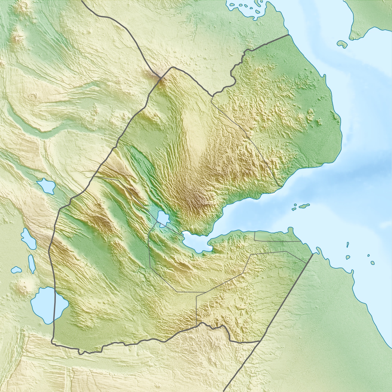
| Localisation des monts Goda à Djibouti. | ||
| Géographie | ||
|---|---|---|
| Altitude | 1 799 m, Bara 'barré | |
| Longueur | 60 km | |
| Largeur | 30 km | |
| Superficie | 1 300 km2 | |
| Administration | ||
| Pays | ||
| Région | Tadjourah | |
| modifier |
||
Notes et références
- Carte IGN de Djibouti, 1992, D5.
 Portail de Djibouti
  Portail de la montagne
На других языках
[de] Goda-Massiv
Das Goda-Massiv ist ein Bergmassiv in der Region Tadjoura in Dschibuti, etwa 25 km westlich von Tadjoura.[en] Goda Mountains
The Goda Mountains lie northwest of the Gulf of Tadjoura, Tadjoura Region in Djibouti. They rise to 1,750 metres (5,740 ft) above sea level and are the nation's largest heavily vegetated area and is the second highest point in Djibouti. The name Goda in Afar means "twisted" or "devoured" and refers to a ridge. A part of the mountains is protected within the Day Forest National Park, Djibouti's only national park.[1] The ecology of this landform is considered an isolated outlier of the Ethiopian montane forest ecological zone, an important island of forest in a sea of semi-desert.- [fr] Monts Goda
Текст в блоке "Читать" взят с сайта "Википедия" и доступен по лицензии Creative Commons Attribution-ShareAlike; в отдельных случаях могут действовать дополнительные условия.
Другой контент может иметь иную лицензию. Перед использованием материалов сайта WikiSort.org внимательно изучите правила лицензирования конкретных элементов наполнения сайта.
Другой контент может иметь иную лицензию. Перед использованием материалов сайта WikiSort.org внимательно изучите правила лицензирования конкретных элементов наполнения сайта.
2019-2026
WikiSort.org - проект по пересортировке и дополнению контента Википедии
WikiSort.org - проект по пересортировке и дополнению контента Википедии