geo.wikisort.org - Montagne
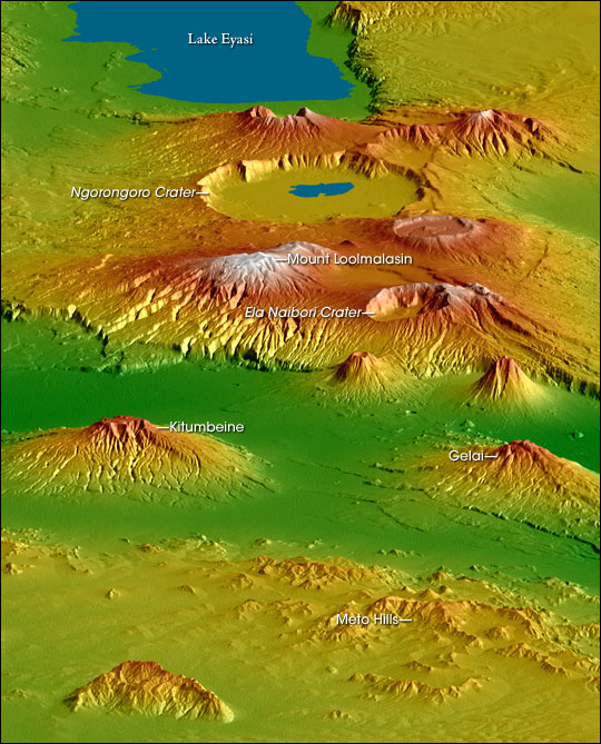
Le mont Gelai est un volcan éteint situé au nord de la Tanzanie, dans le massif du Ngorongoro.
Cet article est une ébauche concernant la Tanzanie et la montagne.
Vous pouvez partager vos connaissances en l’améliorant (comment ?) selon les recommandations des projets correspondants.
| Mont Gelai | ||
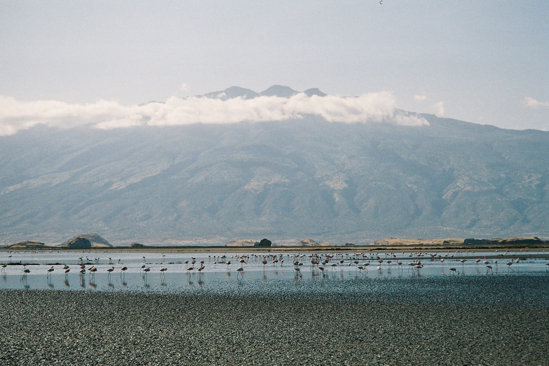
 Le mont Gelai dominant le lac Natron logé dans la vallée du Grand Rift | ||
| Géographie | ||
|---|---|---|
| Altitude | 2 942 m | |
| Massif | Massif du Ngorongoro | |
| Coordonnées | 2° 36′ 50″ sud, 36° 06′ 15″ est | |
| Administration | ||
| Pays | ||
| Région | Arusha | |
| Districts | Ngorongoro, Monduli | |
| Géologie | ||
| Type | Volcan de rift | |
| Activité | Éteint | |
| Dernière éruption | Inconnue | |
| Code GVP | 222806 | |
| Observatoire | Aucun | |
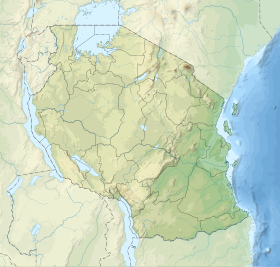
| Géolocalisation sur la carte : Tanzanie
| ||
| modifier |
||
Ce volcan, culminant à 2 942 mètres d'altitude, domine l'extrémité sud-est du lac Natron logé dans la vallée du Grand Rift. Face à lui, à 25 kilomètres de distance de l'autre côté du rift, se trouve un autre volcan, l'Ol Doinyo Lengaï, qui est lui actif.
Référence
- (en) Cet article est partiellement ou en totalité issu de l’article de Wikipédia en anglais intitulé « Gelai Volcano » (voir la liste des auteurs).
Lien externe
 Portail de la Tanzanie
  Portail de la montagne
  Portail du volcanisme
На других языках
[en] Gelai Volcano
Gelai Volcano also known as Mount Gelai stands at 2,942 metres (9,652 ft) tall[1] and is located in Ngorongoro District, Arusha Region, Tanzania in the Crater Highlands. It is at the southeastern edge of Lake Natron in the East African Rift. Gelai is the third most prominent peak in Arusha Region and is the 13th highest peak in Arusha region.[2] Volcanic activity on Gelai dates to less than one million years ago.[3] A number of earthquakes occurred in the area in the summer of 2007. Associated with the largest earthquake on 17 July a NNE-oriented fracture or narrow graben formed on the southern flank of Gelai. The fracture may be associated with the intrusion of a narrow dike at a depth of around 4,000 metres (13,000 ft).[3]- [fr] Mont Gelai
Текст в блоке "Читать" взят с сайта "Википедия" и доступен по лицензии Creative Commons Attribution-ShareAlike; в отдельных случаях могут действовать дополнительные условия.
Другой контент может иметь иную лицензию. Перед использованием материалов сайта WikiSort.org внимательно изучите правила лицензирования конкретных элементов наполнения сайта.
Другой контент может иметь иную лицензию. Перед использованием материалов сайта WikiSort.org внимательно изучите правила лицензирования конкретных элементов наполнения сайта.
2019-2026
WikiSort.org - проект по пересортировке и дополнению контента Википедии
WikiSort.org - проект по пересортировке и дополнению контента Википедии