geo.wikisort.org - Montagne
Le mont Ansel Adams (en anglais : Mount Ansel Adams) est un sommet de la Sierra Nevada, aux États-Unis. Il culmine à 3 594 mètres d'altitude dans le comté de Madera, à la frontière entre la Yosemite Wilderness, dans le parc national de Yosemite, et l'Ansel Adams Wilderness, dans la forêt nationale de Sierra, en Californie.
Pour les articles homonymes, voir Ansel Adams.
| Mont Ansel Adams | |||
 |
|||
| Géographie | |||
|---|---|---|---|
| Altitude | 3 594 m | ||
| Massif | Sierra Nevada | ||
| Coordonnées | 37° 41′ 52″ nord, 119° 16′ 54″ ouest[1] | ||
| Administration | |||
| Pays | |||
| État | Californie | ||
| Comté | Madera | ||
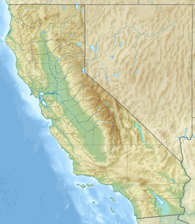
| Géolocalisation sur la carte : Californie
Géolocalisation sur la carte : États-Unis
| |||
| modifier |
|||
Notes et références
- Visualisation sur l'USGS.
Liens externes
- Ressources relatives à la géographie :
- Portail de la montagne
- Portail du parc national de Yosemite
На других языках
[en] Mount Ansel Adams
Mount Ansel Adams is a peak in the Sierra Nevada of California. At an elevation of 11,766 ft (3586 m). the summit is in Yosemite National Park near the park's eastern boundary. It lies 0.8 miles (1.3 km) northeast of Foerster Peak and 1.3 miles (2.1 km) west-southwest of Electra Peak[2] at the head of the Lyell Fork of the Merced River. It was named in 1985 for Ansel Adams, the preeminent landscape photographer, conservationist,[2] and member of the Board of Directors of the Sierra Club, a role he maintained for 37 years.[4][5]- [fr] Mont Ansel Adams
Текст в блоке "Читать" взят с сайта "Википедия" и доступен по лицензии Creative Commons Attribution-ShareAlike; в отдельных случаях могут действовать дополнительные условия.
Другой контент может иметь иную лицензию. Перед использованием материалов сайта WikiSort.org внимательно изучите правила лицензирования конкретных элементов наполнения сайта.
Другой контент может иметь иную лицензию. Перед использованием материалов сайта WikiSort.org внимательно изучите правила лицензирования конкретных элементов наполнения сайта.
2019-2025
WikiSort.org - проект по пересортировке и дополнению контента Википедии
WikiSort.org - проект по пересортировке и дополнению контента Википедии

