geo.wikisort.org - Mountains
Mount Ansel Adams is a peak in the Sierra Nevada of California. At an elevation of 11,766 ft (3586 m). the summit is in Yosemite National Park near the park's eastern boundary. It lies 0.8 miles (1.3 km) northeast of Foerster Peak and 1.3 miles (2.1 km) west-southwest of Electra Peak[2] at the head of the Lyell Fork of the Merced River. It was named in 1985 for Ansel Adams, the preeminent landscape photographer, conservationist,[2] and member of the Board of Directors of the Sierra Club, a role he maintained for 37 years.[4][5]
| Mount Ansel Adams | |
|---|---|
 Mount Ansel Adams  Mount Ansel Adams | |
| Highest point | |
| Elevation | 11,766+ ft (3586+ m) NAVD 88[1] |
| Prominence | 160 ft (49 m) |
| Coordinates | 37°41′52″N 119°16′53″W[2] |
| Geography | |
| Location | Yosemite National Park Madera County, California, U.S. |
| Parent range | Sierra Nevada |
| Topo map | USGS Mount Lyell |
| Climbing | |
| First ascent | July 11, 1934 by Glen Dawson, Jack Riegelhuth and Neil Ruge[3] |
| Easiest route | Exposed scramble, class 3[3] |
References
- "Mount Ansel Adams, California". Peakbagger.com.
- "Mount Ansel Adams". Geographic Names Information System. United States Geological Survey.
- Secor, R.J. (2009). The High Sierra Peaks, Passes, and Trails (3rd ed.). Seattle: The Mountaineers. p. 414. ISBN 978-0898869712.
- "About Ansel Adams". Sierra Club. Retrieved 2014-12-14.
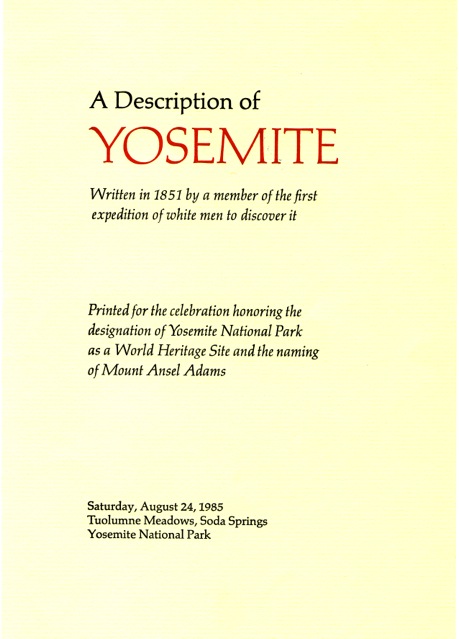
- A Description of Yosemite (1851). Printed for the celebration honoring the designation of Yosemite National Park as a World Heritage Site and the naming of Mount Ansel Adams, Saturday, August 24, 1985, Tuolumne Meadows, Soda Springs, Yosemite National Park. Designed and printed by Adrian Wilson at the Press in Tuscany Alley, San Francisco.

Description of Yosemite-01 Bunnell 1851
This Yosemite-related article is a stub. You can help Wikipedia by expanding it. |
This Madera County, California-related article is a stub. You can help Wikipedia by expanding it. |
На других языках
- [en] Mount Ansel Adams
[fr] Mont Ansel Adams
Le mont Ansel Adams (en anglais : Mount Ansel Adams) est un sommet de la Sierra Nevada, aux États-Unis. Il culmine à 3 594 mètres d'altitude dans le comté de Madera, à la frontière entre la Yosemite Wilderness, dans le parc national de Yosemite, et l'Ansel Adams Wilderness, dans la forêt nationale de Sierra, en Californie.Текст в блоке "Читать" взят с сайта "Википедия" и доступен по лицензии Creative Commons Attribution-ShareAlike; в отдельных случаях могут действовать дополнительные условия.
Другой контент может иметь иную лицензию. Перед использованием материалов сайта WikiSort.org внимательно изучите правила лицензирования конкретных элементов наполнения сайта.
Другой контент может иметь иную лицензию. Перед использованием материалов сайта WikiSort.org внимательно изучите правила лицензирования конкретных элементов наполнения сайта.
2019-2026
WikiSort.org - проект по пересортировке и дополнению контента Википедии
WikiSort.org - проект по пересортировке и дополнению контента Википедии