geo.wikisort.org - Montagne
Le Gegham (en arménien Գեղամա լեռնաշղթա, Geghama Lernashkhta) est une chaîne montagneuse située en Arménie et s'étendant sur 70 km en longueur et 48 en largeur. Son point culminant est le mont Ajdahak (3 597 m).
Ne doit pas être confondu avec Gegham (roi légendaire d'Arménie).
Cet article est une ébauche concernant la montagne.
Vous pouvez partager vos connaissances en l’améliorant (comment ?) selon les recommandations des projets correspondants.
| Gegham | |
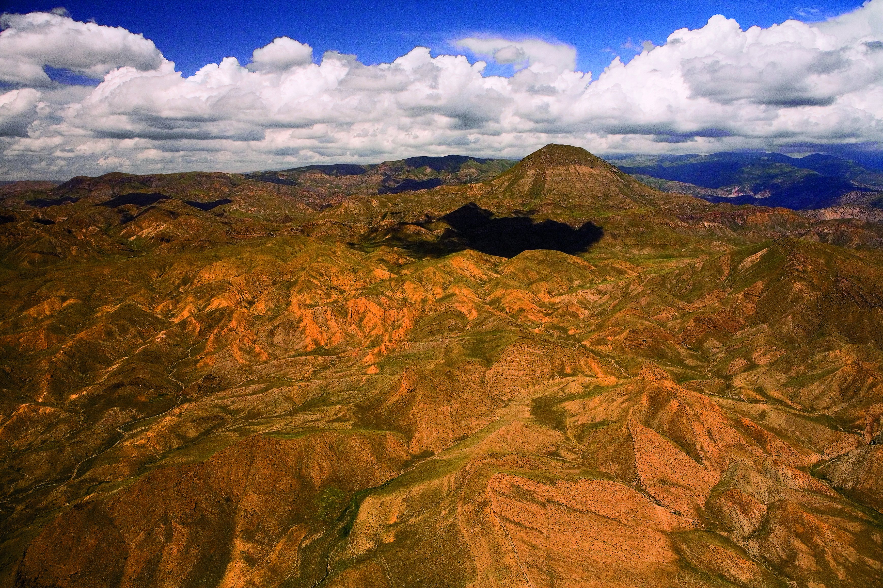
 Image satellite du Gegham. | |
| Géographie | |
|---|---|
| Altitude | 3 597 m, Ajdahak |
| Massif | Petit Caucase |
| Longueur | 70 km |
| Largeur | 48 km |
| Administration | |
| Pays | |
| Régions | Gegharkunik, Ararat, Vayots Dzor, Kotayk |
| modifier |
|
Les rivières Azat, Vedi et Gavaraget y ont notamment leur source, et la réserve d'État de la forêt de Khosrov y est située.
Histoire
La montagne porte le nom du roi légendaire et ancêtre des Arméniens, Gegham.
Lien externe
 Portail de la montagne
  Portail de l’Arménie
  Portail du Caucase
На других языках
[de] Geghamgebirge
Das Geghamgebirge (auch Geghama-Gebirge; armenisch Գեղամա լեռնաշղթա) ist ein Gebirgszug in Armenien.[en] Gegham mountains
Gegham mountains (or Gegham Ridge, ISO 9985: Geġam), Armenian: Գեղամա լեռնաշղթա (Geghama lernasheghta) are a range of mountains in Armenia. The range is a tableland-type watershed basin of Sevan Lake from east, inflows of rivers Araks and Hrazdan from north and west, Azat and Vedi rivers from south-west and Arpachai river from south. The average elevation of the Gegham mountain range is near 2500m. The range is of volcanic origin including many extinct volcanoes. The range is 70 km length and 48 km width, and stretch between Lake Sevan and the Ararat plain. The highest peak of the Gegham mountains is the Azhdahak, at 3597m. They are formed by a volcanic field, containing Pleistocene-to-Holocene lava domes and cinder cones.[citation needed] The highland reaches a height of 1800–2000m up to 3000m in the dividing ridge.[1][es] Montañas de Geghama
Las montañas de Geghama o Sierra de Geghama son una cadena de montañas en Armenia, entre el lago Sevan, al este, y la llanura de Ararat, al oeste. Por el norte limita con el valle del río Hrazdan, y por el sur con un pequeño cinturón de picos volcánicos, Hadis, Gutanasar, Menakasar, entre otros, y el paso de Vanderyats, donde se encuentra el Caravanserai de Orbelian. Toda la vertiente oriental se encuentra en la provincia de Geghark'unik'; la occidental se encuentra dividida entre las provincias de Kotayk', al norte y Ararat, al sur, y la meridional limita con la provincia de Vayots' Dzor.- [fr] Gegham
[ru] Гегамский хребет
Гега́мский хребе́т[1] (арм. Գեղամա լեռնաշղթա, ранее также Ахманган[2][3]) — горный хребет в Армении. Платообразный водораздел бассейнов озера Севан — с востока, притоков реки Аракс и Раздан, Азат и Веди — с юго-запада и Арпа — с юга. Средняя высота Гегамского горного массива — около 2500 м. Хребет имеет вулканическое происхождение, включает много потухших вулканов. Длина хребта — 70 км, ширина — 48 км.Текст в блоке "Читать" взят с сайта "Википедия" и доступен по лицензии Creative Commons Attribution-ShareAlike; в отдельных случаях могут действовать дополнительные условия.
Другой контент может иметь иную лицензию. Перед использованием материалов сайта WikiSort.org внимательно изучите правила лицензирования конкретных элементов наполнения сайта.
Другой контент может иметь иную лицензию. Перед использованием материалов сайта WikiSort.org внимательно изучите правила лицензирования конкретных элементов наполнения сайта.
2019-2026
WikiSort.org - проект по пересортировке и дополнению контента Википедии
WikiSort.org - проект по пересортировке и дополнению контента Википедии