geo.wikisort.org - Mountains
Wolds Top, also known as Normanby Hill,[2] is the highest point of the Lincolnshire Wolds. The summit elevation is 168 m (551 ft).[1] It lies some distance to the north of the village of Normanby le Wold in Lincolnshire. The Viking Way passes close by, on a minor road, and there is a radio mast near the summit. The summit is marked with an Ordnance Survey triangulation station, which was erected in 1936, and is now used as part of the Ordnance Survey National GPS System.[3]
| Wolds Top | |
|---|---|
| Normanby Hill | |
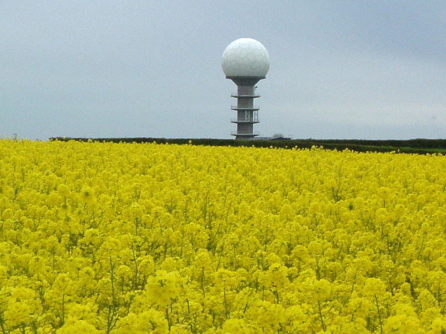 The National Air Traffic Control Radar Installation (Claxby) | |
| Highest point | |
| Elevation | 168 m (551 ft)[1] |
| Prominence | 162 m (531 ft) |
| Parent peak | Walton Hill |
| Listing | Marilyn, County Top |
| Coordinates | 53°27′09″N 0°18′48″W |
| Geography | |
 Wolds Top Location of Wolds Top in Lincolnshire | |
| Location | Lincolnshire Wolds, England |
| OS grid | TF121964 |
| Topo map | OS Landranger 113 |
Wolds Top is within the Lincolnshire Wolds Area of Outstanding Natural Beauty.[4][5]
References
- Bathurst, David (2012). Walking the county high points of England. Chichester: Summersdale. pp. 39–43. ISBN 978-1-84-953239-6.
- "The Hardys – The UK's Highest Points" (PDF). Retrieved 15 March 2013.
- Lincolnshire Wolds North (Map) (A1 ed.). 1:25000. Explorer. Ordnance survey of Great Britain. 3 April 2006. § 282. ISBN 978-0319238233.
- "AONB outline map". Magic map. DEFRA. Retrieved 21 October 2013. (specify location as grid ref. TF121964 to add the hill location or zoom in.)
- "NCA Profile: 43 Lincolnshire Wolds (NE440)". Publications and products. Natural England. Retrieved 13 October 2013.
На других языках
- [en] Wolds Top
[fr] Wolds Top
Wolds Top, connu aussi comme Normanby Hill[2] ou Normanby Top[3], est le point le plus élevé des Wolds du Lincolnshire et de tout le comté du Lincolnshire. Il est marqué par un poste de triangulation[4] au nord du village de Normanby le Wold. Son altitude est environ 168 mètres.Текст в блоке "Читать" взят с сайта "Википедия" и доступен по лицензии Creative Commons Attribution-ShareAlike; в отдельных случаях могут действовать дополнительные условия.
Другой контент может иметь иную лицензию. Перед использованием материалов сайта WikiSort.org внимательно изучите правила лицензирования конкретных элементов наполнения сайта.
Другой контент может иметь иную лицензию. Перед использованием материалов сайта WikiSort.org внимательно изучите правила лицензирования конкретных элементов наполнения сайта.
2019-2026
WikiSort.org - проект по пересортировке и дополнению контента Википедии
WikiSort.org - проект по пересортировке и дополнению контента Википедии