geo.wikisort.org - Mountains
The Windberg (353 m above NN) is a hill in the borough of Freital near Dresden in the German federal state of Saxony. It is the town's Hausberg or local hill.
| Windberg | |
|---|---|
 | |
| Highest point | |
| Elevation | 353 m (1,158 ft) |
| Coordinates | 50°59′49″N 13°39′39″E |
| Geography | |
 Windberg Saxony, Germany | |
| Parent range | Döhlen Basin |
| Geology | |
| Age of rock | Rotliegendes |
| Mountain type | conglomerate with hard coal seams |
Geomorphology and natural features
The Windberg has a striking silhouette, visible from afar. Its narrow northwestern slope opens out into a long, broad and thickly wooded plateau. The hill has been designated as a nature reserve and protected area since 1967 due to its near-natural woodland and rich flora and fauna. Its tectonic cleft cavern, known as the Windbergspalte,[1] is the deepest cave in Saxony with a depth of 44 metres (144 ft).
Gallery
 Section of an 1895 overview map with the Windberg
 1930 topographical map of the Windberg with contours
 King Albert Monument on the Windberg
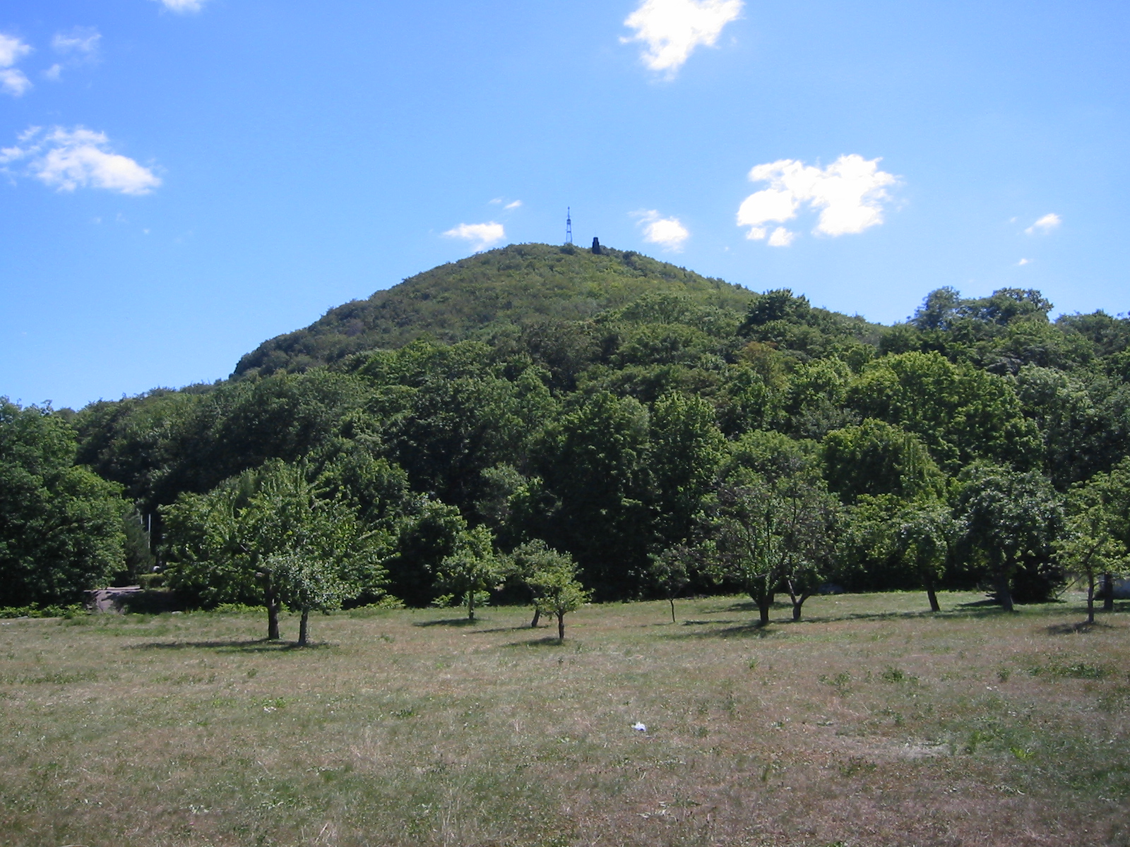
 View from Freital-Wurgwitz of the Windberg


References
- Sächsischer Höhlenkataster Nr. 5047/EG-12
Sources
- Haus der Heimat Freital (Hg.): Der Windberg, Freital 1986
External links
| Wikimedia Commons has media related to Windberg (Freital). |
This Sächsische Schweiz-Osterzgebirge location article is a stub. You can help Wikipedia by expanding it. |
На других языках
[de] Windberg (Freital)
Der Windberg (353 m ü. NN) befindet sich im Stadtgebiet von Freital bei Dresden im Freistaat Sachsen und gilt als der Hausberg der Stadt. Der Berg ist Namensgeber der Windbergbahn, der ersten deutschen Gebirgsbahn.- [en] Windberg (Freital)
Текст в блоке "Читать" взят с сайта "Википедия" и доступен по лицензии Creative Commons Attribution-ShareAlike; в отдельных случаях могут действовать дополнительные условия.
Другой контент может иметь иную лицензию. Перед использованием материалов сайта WikiSort.org внимательно изучите правила лицензирования конкретных элементов наполнения сайта.
Другой контент может иметь иную лицензию. Перед использованием материалов сайта WikiSort.org внимательно изучите правила лицензирования конкретных элементов наполнения сайта.
2019-2026
WikiSort.org - проект по пересортировке и дополнению контента Википедии
WikiSort.org - проект по пересортировке и дополнению контента Википедии