geo.wikisort.org - Mountains
Win Green Down at grid reference ST927209 in south-western Wiltshire, England is a 26.0 hectares (64 acres) biological Site of Special Scientific Interest, notified in 1971.
| Win Green | |
|---|---|
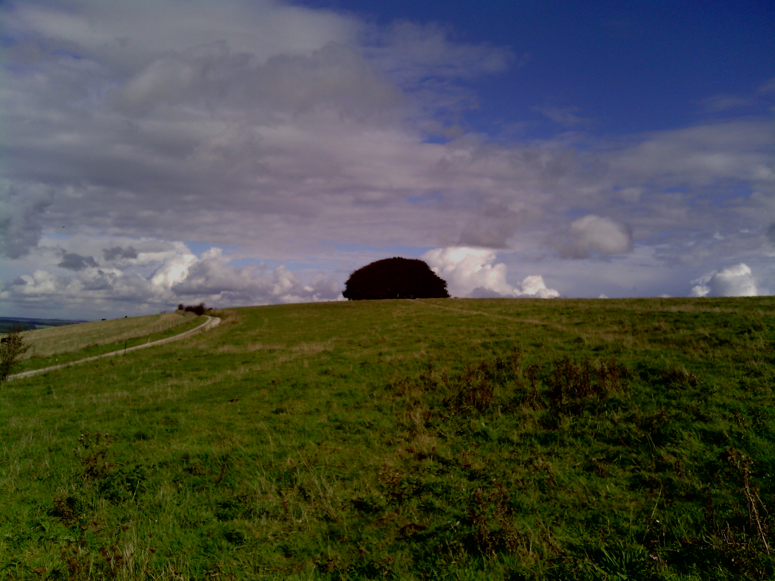 Wingreen Hill, the highest point of Cranborne Chase | |
| Highest point | |
| Elevation | 277 m (909 ft) |
| Parent peak | Long Knoll |
| Coordinates | 50°59′08″N 2°06′29″W |
| Geography | |
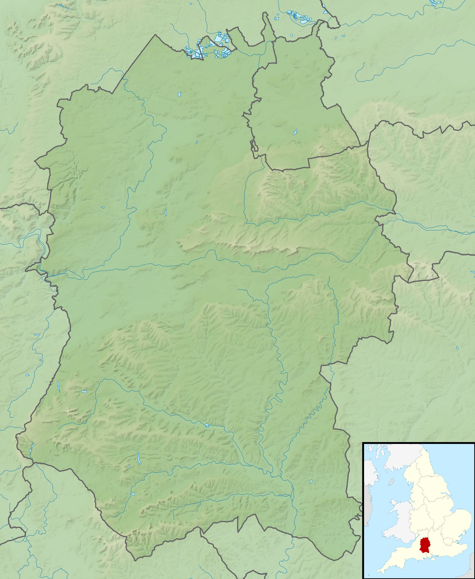 Win Green Location in Wiltshire | |
| Location | Wiltshire, |
| Parent range | North Wessex Downs |
| OS grid | ST927209 |
| Topo map | OS Landranger 184 |
Its summit, Win Green, is at grid reference ST924205 and is the highest point of Cranborne Chase at 277 metres (909 ft). There are extensive views, with Bournemouth, the Isle of Wight, Salisbury, Glastonbury Tor, the Mendips, the Quantocks and Milk Hill all visible in clear conditions. It is classed as a Marilyn, and is a landmark due to the clump of trees on the high point. The parent peak is Long Knoll.[1]
References
- Jackson, Mark (July 2010). "More Relative Hills of Britain" (PDF). Marilyn News Centre. p. 143. Archived (PDF) from the original on 12 October 2013.
- English Nature citation sheet for the site (accessed 8 August 2006)
- http://www.ukhillwalking.com/logbook/hill.php?id=14024
- Mapping: OS Explorer 118 (1:25 000), OS Landranger 184 (1:50 000)
External links
- English Nature website (SSSI information)
This article about a Site of Special Scientific Interest in England is a stub. You can help Wikipedia by expanding it. |
This article about a location in Wiltshire is a stub. You can help Wikipedia by expanding it. |
Другой контент может иметь иную лицензию. Перед использованием материалов сайта WikiSort.org внимательно изучите правила лицензирования конкретных элементов наполнения сайта.
WikiSort.org - проект по пересортировке и дополнению контента Википедии