geo.wikisort.org - Mountains
The Weißer Stein (German for White Stone; in English also written as Weisser Stein) is located in the forest of Mürringen, a hamlet of the Büllingen municipality in East Belgium. It is the highest point of this village and the second-highest point of Belgium. It also lies on the border with the German state of North Rhine-Westphalia.
| Weißer Stein | |
|---|---|
 Boardwalk leading to the Weißer Stein rocks in Belgium | |
| Highest point | |
| Elevation | 693.3 m (2,275 ft) |
| Coordinates | 50°24′30″N 6°22′9″E |
| Geography | |
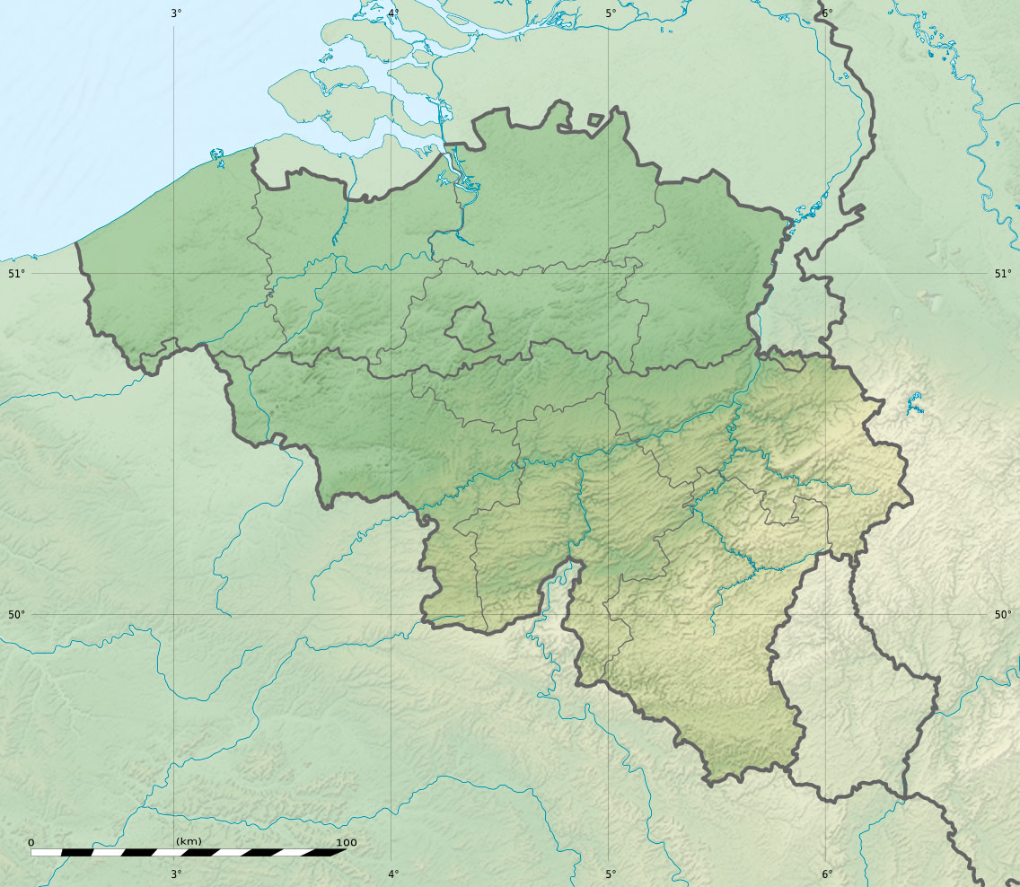 Weißer Stein Location of Weißer Stein in Belgium | |
| Location | Büllingen, East Belgium |
| Parent range | Eifel |
German measurements (until 1920 the area belonged to Germany) indicated an altitude of 689 m (NN, German standard) at the nearby located measuring point, and a small higher area surrounded by the 690-meter altitude line.[1] In 2007 the University of Liège executed measurements and found a height of 692 m (TAW, Belgian standard). The altitude meter of Google Earth caused some doubt about Signal de Botrange (694 m TAW) as Belgium's highest point because its vertical reference EGM96 deviates a couple of meters from the German Normalnull and the Belgian TAW, thereby suggesting an altitude of 701 m for the Weißer Stein. An accurate control by the Belgian National Geographic Institute in 2010 showed the Weißer Stein to be at maximum 693.3 m TAW (=691 m NN), with which it differs by less than 1 m from Signal de Botrange.[2][3]
References
- Map sheet 481 Hillesheim (1909) Kgl. Preuß. Landesaufnahme online
- n.c. (9 Mar 2010). "Botrange est bien le toit de la Belgique". Le Soir (in French). Retrieved 24 Jan 2015.
- "Weißer Stein ski area on Eifel Info".
This Liège Province location article is a stub. You can help Wikipedia by expanding it. |
На других языках
[de] Weißer Stein (Eifel)
Der Weiße Stein nahe Hellenthal im nordrhein-westfälischen Kreis Euskirchen und Büllingen in der wallonischen Provinz Lüttich ist ein etwa 690 m[1] hoher deutsch-belgischer Grenzberg im Zitterwald in der Nordeifel.- [en] Weißer Stein (Eifel)
[fr] Weisser Stein
Le Weisser Stein (la « Pierre blanche ») est un sommet et lieu-dit du Parc naturel germano-belge sur le plateau de l'Eifel, situé près de la frontière germano-belge. Il est situé à cheval sur les communes de Bullange et Hellenthal, à 500 m de la route allemande B265 qui longe la frontière entre Hollerath et Losheimergraben, à 6 km de distance, dans le Land de Rhénanie-du-Nord-Westphalie.Другой контент может иметь иную лицензию. Перед использованием материалов сайта WikiSort.org внимательно изучите правила лицензирования конкретных элементов наполнения сайта.
WikiSort.org - проект по пересортировке и дополнению контента Википедии