geo.wikisort.org - Mountains
The Volga Upland, also known as the Volga Uplands, Volga Hills,[2] or Volga Plateau, (Russian: Приволжская возвышенность - Privolzhskaya vozvyshennost) is a vast region of the East European Plain in the European part of Russia that lies west of the Volga River and east of the Central Russian Upland.[3]
| Volga Upland | |
|---|---|
| Приволжская возвышенность | |
 Stolbichi wall on the banks of the Volga | |
| Highest point | |
| Peak | Unnamed |
| Elevation | 381 m (1,250 ft) |
| Dimensions | |
| Length | 800 km (500 mi) NNE/SSW |
| Width | 500 km (310 mi) ESE/WNW |
| Geography | |
 Location  Volga Upland (Russia) | |
| Location | Nizhny Novgorod Oblast, Mordovia, Chuvashia, Tatarstan, Penza Oblast, Ulyanovsk Oblast, Samara Oblast, Saratov Oblast, Volgograd Oblast, Russia |
| Range coordinates | 53°07′N 46°36′E[1] |
| Parent range | East European Plain |
| Geology | |
| Age of rock | Carboniferous, Cretaceous |
| Type of rock | Limestones, dolomite, sandstone, chalk |
The uplands lie in the cool continental climate zone, characterised by large fluctuations in seasonal temperatures and generally little rainfall. Outside of the cities in the region, population density is generally between 28 and 129 inhabitants per square mile.
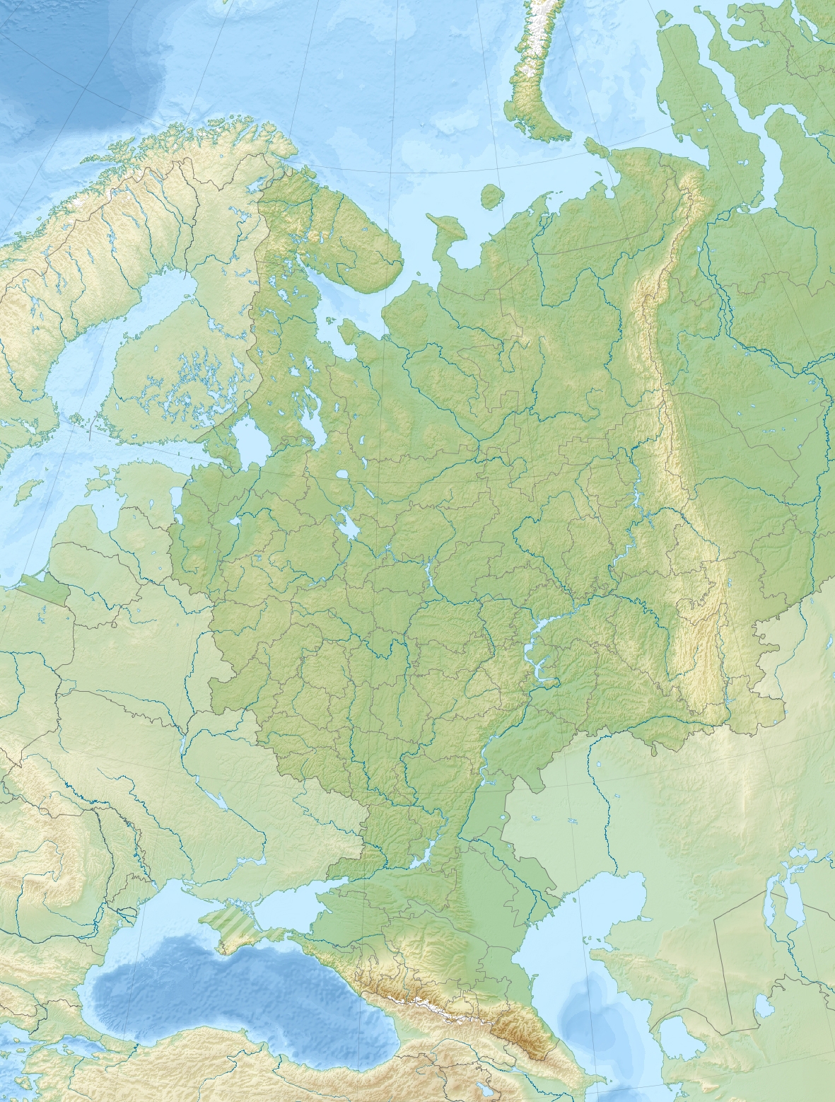
Geography
The uplands run for approximately 800 kilometres (500 mi) in a southwest-northeasterly direction from Volgograd to Kazan. The Tsimlyansk Reservoir lies at the southwestern end of the Volga Upland, with the Kuybyshev Reservoir at the northeastern end.
The landscape on the Volga Uplands is hilly, and several rivers have cut into it, such as the Khopyor, Medveditsa and the Sura. The Volga-Don Canal cuts through the lowlands between the Volga Uplands to the north and the adjacent Yergeni Hills to the south.
The Volga Uplands themselves are rather sparsely populated, but along their edges and in particular along the banks of the Volga there are several large cities, such as (from north to south) Kazan, Ulyanovsk, Saransk, Penza, Syzran, Saratov and Volgograd.[4]
Subranges
The hill ranges along the Volga banks are traditionally called mountains (Russian: горы), despite being of low height. The main ones are:
- Uslon Mountains
- Yuryevy Mountains
- Bogorodskye Mountains
- Syukeyevo Mountains
- Tetyushi Mountains
- Undory Mountains
- Zhiguli Mountains
- Khvalynsk Mountains
- Don-Medveditsa Ridge
See also
- Highest points of Russian Federal subjects
- List of mountains and hills of Russia
- Taw yağı
References
- Google Earth
- "Volga Hills." Columbia Gazetteer of the World Online. 2009. Columbia University Press. 06 Feb. 2009.
- "Приволжская возвышенность". Great Soviet Encyclopedia.
- DK Publishing (1999). Millennium World Atlas. DK. p. xxix, 229. ISBN 978-0-7894-4604-6
External links
 Media related to Volga Upland at Wikimedia Commons
This article about a location in the Volga Federal District is a stub. You can help Wikipedia by expanding it. |
На других языках
[de] Wolgaplatte
Die Wolgaplatte (auch Wolgahöhen genannt, russisch Приволжская возвышенность, Priwolschskaja woswyschennost) ist ein bis 375 m [1] hoher, sehr langgestreckter Höhenzug im europäischen Teil von Russland.- [en] Volga Upland
[fr] Plateau de la Volga
Le plateau de la Volga, en russe : Приволжская возвышенность, Privoljskaïa vozvychennost, ou hauteurs de la Volga[1] est un ensemble de collines de la Russie européenne. Il est situé au sud-est de Moscou et au nord de Volgograd et des monts Iergheni, entre la Volga au nord et à l'est et le bassin de Moscou à l'ouest.[ru] Приволжская возвышенность
Приво́лжская возвы́шенность — возвышенность, часть Восточно-Европейской равнины, расположенная на правом (западном) берегу Волги и протянувшаяся от Нижнего Новгорода на севере до Волгограда на юге. На западе ограничена Окско-Донской равниной (Тамбовская равнина). На большей части территории возвышенность сложена сравнительно легко разрушаемыми горными породами: песками, глинами, мергелями, мелами, опоками, относящимися к юре, мелу и палеогену. В районе Самарской луки, а также на отдельных локальных участках (близ Саратова и др.) выходят более прочные и древние отложения — каменноугольные и пермские известняки и доломиты. Среди палеогеновых отложений имеются бронирующие слои крепких песчаников. Кристаллический фундамент глубоко опущен (более 800 м)[1].Другой контент может иметь иную лицензию. Перед использованием материалов сайта WikiSort.org внимательно изучите правила лицензирования конкретных элементов наполнения сайта.
WikiSort.org - проект по пересортировке и дополнению контента Википедии