geo.wikisort.org - Mountains
Therfield Heath is a biological Site of Special Scientific Interest[1][2] and Local Nature Reserve[3][4] on the chalk escarpment just north of Therfield, Hertfordshire; since it lies south-west of the town of Royston it is also known locally as Royston Heath. The Heath is a common on which sheep are still regularly grazed. The site offers views towards the north, over the valley of the Cam as far as Cambridge.
| Site of Special Scientific Interest | |
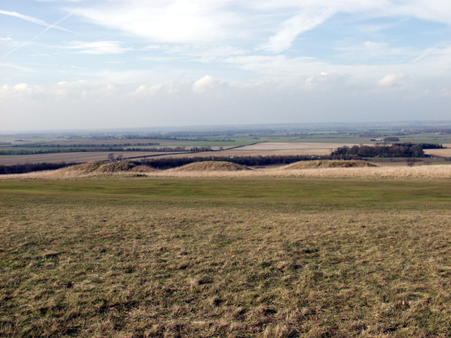 The open country of the Heath | |
| Location | Hertfordshire |
|---|---|
| Grid reference | TL344400 |
| Interest | Biological |
| Area | 143.3 hectares |
| Notification | 1984 |
| Location map | Magic Map |
The heath contains a long barrow, thought to be Neolithic, and several Bronze Age round barrows, all of which English Heritage classes as scheduled ancient monuments. The round barrow cemetery is the largest known example of its type in Hertfordshire.[5][6] Therfield heath was reportedly favoured by King James I as a hunting ground.[7]
The highest point of the Heath is Therfield Hill. This top reaches 168 m (551 ft), the highest point for twelve miles in every direction with a relative height of about 72 m. The top is crowned by a water tower. Church Hill has many rare pasqueflowers, which flower in early spring.[3]
The Heath can be accessed from Baldock Road.
References
- "Therfield Heath citation" (PDF). Sites of Special Scientific Interest. Natural England. Retrieved 26 July 2013.
- "Map of Therfield Heath". Sites of Special Scientific Interest. Natural England. Retrieved 26 July 2013.
- "Therfield Heath". Local Nature Reserves. Natural England. Retrieved 26 July 2013.
- "Map of Therfield Heath". Local Nature Reserves. Natural England. Retrieved 26 July 2013.
- Historic England. "Details from listed building database (1010428)". National Heritage List for England. Retrieved 12 January 2016.
- Historic England. "Details from listed building database (1010431)". National Heritage List for England. Retrieved 12 January 2016.
- "A History of the County of Hertford".
This Hertfordshire location article is a stub. You can help Wikipedia by expanding it. |
Другой контент может иметь иную лицензию. Перед использованием материалов сайта WikiSort.org внимательно изучите правила лицензирования конкретных элементов наполнения сайта.
WikiSort.org - проект по пересортировке и дополнению контента Википедии