geo.wikisort.org - Mountains
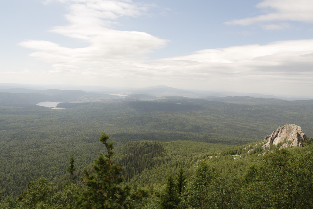
Taganay (Russian: Таганай, Bashkir: Тағанай) is a group of mountain ridges in the Southern Urals, on the territory of Chelyabinsk Oblast, with the highest point rising 1178 m. above sea level. Taganay National Park was established in 1991, with its south-western border reaching down to the outskirts of Zlatoust. Total area of the park is about 568 square kilometres (219 sq mi), with the distance of 52 km (32 mi) from north to south and width of about 10–15 km (6.2–9.3 mi).
| Taganay National Park | |
|---|---|
IUCN category II (national park) | |
 "The river of rocks" in Taganay. | |
 Location of Taganay National Park | |
| Location | Chelyabinsk Region, Zlatoust, Russia |
| Nearest city | Zlatoust |
| Coordinates | 55°15′35″N 59°47′33″E |
| Area | 568 km2 (219 sq mi) |
| Established | March 5, 1991 |
| Website | http://taganay.ru/ |
The vast majority of the park is covered with forests of Siberian spruce, pine, larch, aspen, willow, lime and alder. Over 750 species of plants have been recorded, some of which are listed in the Red Book. This is also home to many animal species, wolves, lynxes, brown bears, martens, moose and otters. The park is also home to about 180 species of birds, 55 species of mammals and 10 species of fish. Some of them are also recorded in the Red Book.[1]
Climate and weather
| Climate data for Zlatoust, Russia | |||||||||||||
|---|---|---|---|---|---|---|---|---|---|---|---|---|---|
| Month | Jan | Feb | Mar | Apr | May | Jun | Jul | Aug | Sep | Oct | Nov | Dec | Year |
| Daily mean °F | 3 | 6 | 15 | 32 | 46 | 55 | 60 | 57 | 44 | 32 | 21 | 6 | 32 |
| Average precipitation inches | 1.4 | 1.1 | 1.1 | 1.7 | 2.3 | 3.2 | 4.7 | 3.1 | 2.8 | 2.5 | 1.9 | 1.5 | 27.2 |
| Daily mean °C | −16 | −14 | −9 | 0 | 8 | 13 | 16 | 14 | 7 | 0 | −6 | −14 | 0 |
| Average precipitation mm | 36 | 28 | 28 | 43 | 58 | 81 | 120 | 79 | 71 | 64 | 48 | 38 | 690 |
| Source: [2] | |||||||||||||
References
- "Taganay National Park". PeakVisor. Retrieved 2021-05-07.
- "Weatherbase:Historical Weather for Zlatoust, Russia". Retrieved Feb 9, 2011.
External links
National parks of Russia | ||
|---|---|---|
|  | |
This Chelyabinsk Oblast location article is a stub. You can help Wikipedia by expanding it. |
This article related to a protected area in Asia is a stub. You can help Wikipedia by expanding it. |
На других языках
- [en] Taganay
[ru] Таганай (горы)
Тагана́й — группа горных хребтов Южного Урала, в Челябинской области. Длина 52 км, высота до 1178 м (гора Круглица)[1]. Хребты тянутся в меридиональном направлении, примерно от города Златоуст до города Карабаш.Другой контент может иметь иную лицензию. Перед использованием материалов сайта WikiSort.org внимательно изучите правила лицензирования конкретных элементов наполнения сайта.
WikiSort.org - проект по пересортировке и дополнению контента Википедии