geo.wikisort.org - Mountains
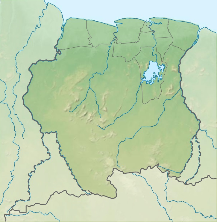
Tafelberg (literally "Table Mountain") is one of the highest mountains in Suriname at 1,026 metres (3,366 ft). It is a tepui and is part of the Tafelberg Nature Reserve. The mountain is in the Sipaliwini District. The Rudi Kappel Airstrip, former name: Tafelberg Airstrip, is nearby.[1] In 1943, the mountain was climbed for the first time by the Coppename River expedition lead by Dirk Geijskes.[2]
| Tafelberg | |
|---|---|
 Tafelberg | |
| Highest point | |
| Elevation | 1,026 m (3,366 ft) |
| Coordinates | 3°54′30″N 56°10′20″W |
| Geography | |
| Location | Sipaliwini District, Suriname |
| Parent range | Wilhelmina Mountains |
References
- Arno Landewers. "Wetenschappelijke verkenningsvluchten boven Suriname 1938-1958" (PDF) (in Dutch). pp. 2–3. Retrieved 14 January 2022.
- Wagenaar Hummelinck, P. (1972). "To Dr Dirk Cornelis Geijskes on his 65th birthday" (PDF). Odonatologica. 4: 183.
External links
This Suriname location article is a stub. You can help Wikipedia by expanding it. |
На других языках
[de] Tafelberg (Suriname)
Der Tafelberg ist ein bis max. 1026 m hohes Hochplateau in Suriname, im Distrikt Sipaliwini.- [en] Tafelberg, Suriname
[it] Tafelberg (Suriname)
Il Tafelberg (1.026 m) è un monte del Suriname del Massiccio della Guiana.Текст в блоке "Читать" взят с сайта "Википедия" и доступен по лицензии Creative Commons Attribution-ShareAlike; в отдельных случаях могут действовать дополнительные условия.
Другой контент может иметь иную лицензию. Перед использованием материалов сайта WikiSort.org внимательно изучите правила лицензирования конкретных элементов наполнения сайта.
Другой контент может иметь иную лицензию. Перед использованием материалов сайта WikiSort.org внимательно изучите правила лицензирования конкретных элементов наполнения сайта.
2019-2025
WikiSort.org - проект по пересортировке и дополнению контента Википедии
WikiSort.org - проект по пересортировке и дополнению контента Википедии