geo.wikisort.org - Mountains
Tacune (possibly from Aymara taku Prosopis (genus of South American tree) / colored medicinal earth,[2] -ni a suffix to indicate ownership, "the one with the taku tree" or "the one with medicinal earth") is a mountain in the Andes of Peru, about 5,500 metres (18,045 ft) high. It is situated south of Lake Salinas and east of the mountain Pichu Pichu. Tacune is located in the Arequipa Region, Arequipa Province, Tarucani District, and in the Moquegua Region, General Sánchez Cerro Province, Puquina District.[1]
| Tacune | |
|---|---|
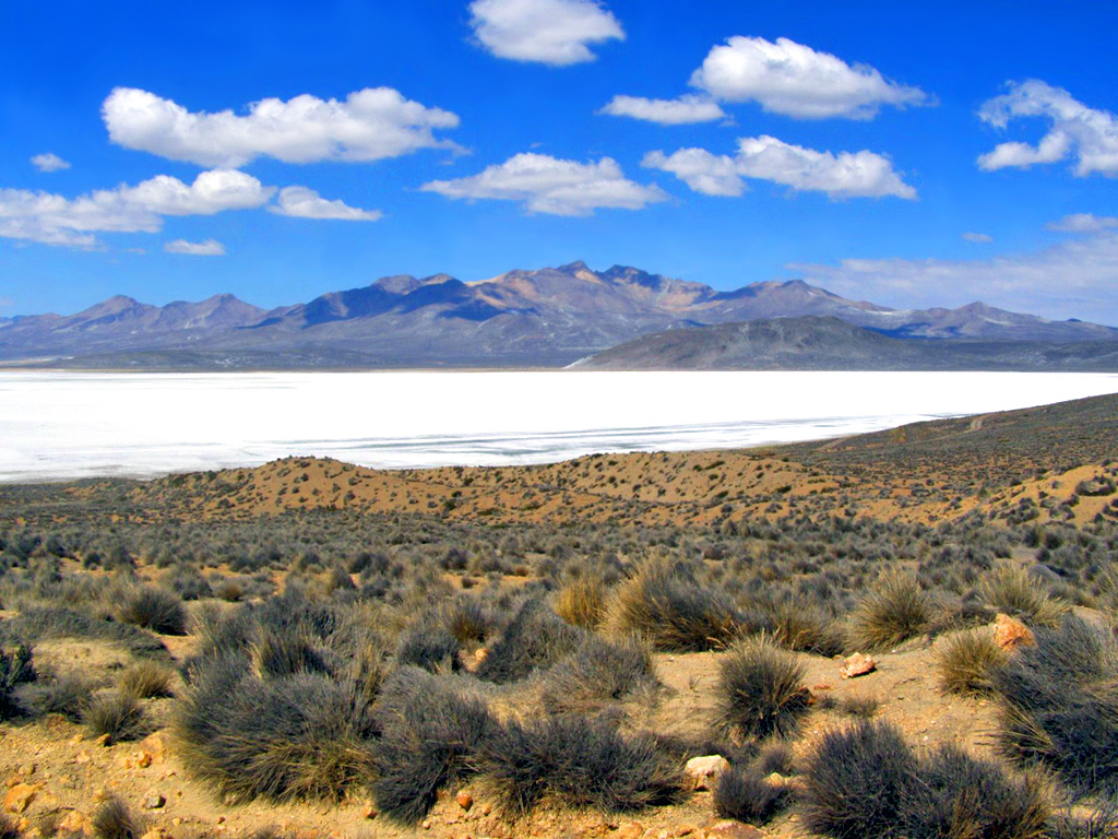 Lake Salinas with Tacune (center) in the background | |
| Highest point | |
| Elevation | 5,500 m (18,000 ft)[1] |
| Coordinates | 16°28′4″S 71°8′15″W |
| Geography | |
 Tacune Peru | |
| Location | Peru, Arequipa Region, Arequipa Province, Moquegua Region, General Sanchez Cerro Province |
| Parent range | Andes |
Tacune is also the name of an intermittent stream which flows from the mountain towards Lake Salinas.[1]
See also
References
- escale.minedu.gob.pe - UGEL map of the General Sánchez Cerro (Moquegua Region)
- Radio San Gabriel, "Instituto Radiofonico de Promoción Aymara" (IRPA) 1993, Republicado por Instituto de las Lenguas y Literaturas Andinas-Amazónicas (ILLLA-A) 2011, Transcripción del Vocabulario de la Lengua Aymara, P. Ludovico Bertonio 1612 (Spanish-Aymara-Aymara-Spanish dictionary)
This Moquegua Region geography article is a stub. You can help Wikipedia by expanding it. |
На других языках
- [en] Tacune
[fr] Tacune
Le Tacune, également appelé Cerro Tacune, est un volcan de 5 417 mètres d'altitude situé au sud du Pérou dans les Andes, province d'Arequipa, région d'Arequipa, au nord-est de la ville d'Arequipa.Текст в блоке "Читать" взят с сайта "Википедия" и доступен по лицензии Creative Commons Attribution-ShareAlike; в отдельных случаях могут действовать дополнительные условия.
Другой контент может иметь иную лицензию. Перед использованием материалов сайта WikiSort.org внимательно изучите правила лицензирования конкретных элементов наполнения сайта.
Другой контент может иметь иную лицензию. Перед использованием материалов сайта WikiSort.org внимательно изучите правила лицензирования конкретных элементов наполнения сайта.
2019-2026
WikiSort.org - проект по пересортировке и дополнению контента Википедии
WikiSort.org - проект по пересортировке и дополнению контента Википедии