geo.wikisort.org - Mountains
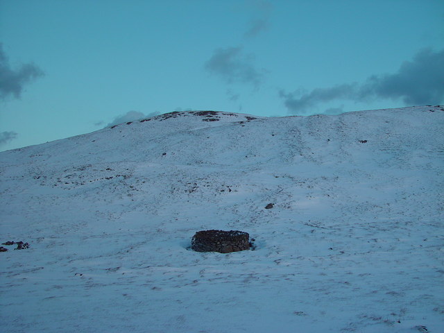
Setter Hill is a hill in western Whalsay, Shetland Islands, Scotland. It lies to the southeast of the village of Marrister and northeast of the main village on the island, Symbister. The source of Scarfmoor Burn is on the southeastern side of Setter Hill.[1] On its eastern side is the Loch of Houll. There is an old quarry in the vicinity. Since the spring of 2001, the hill has been part of Shetland's Past Project, a project geared towards encouraging and training individuals to undertake archaeological surveys of their local landscapes in the Shetland Islands.[2]
References
- "Setter Hill, HU 554 644 GB Grid". Ordnance Survey. Retrieved 5 February 2013.
- "Whalsay, Setter Hill". Royal Commission on the Ancient and Historical Monuments of Scotland. Retrieved 5 February 2013.
| Settlements | ||
|---|---|---|
| Geography |
| |
| Archaeological sites |
| |
| Buildings |
| |
This Shetland location article is a stub. You can help Wikipedia by expanding it. |
На других языках
[de] Setter Hill (Whalsay)
Der Setter Hill ist ein knapp über 80 Meter hoher Berg im Westen der zu den schottischen Shetlands zählenden Insel Whalsay. Er überragt die Ortschaften Hamister im Süden, Marrister im Westen sowie Brough im Norden. Im Osten liegt der See Loch of Houll, nach Südosten geht er in den Sneugans über. Zwischen diesem und dem Setter Hill liegen Quelle und Oberlauf des Scarfmoor Burn.- [en] Setter Hill, Whalsay
Текст в блоке "Читать" взят с сайта "Википедия" и доступен по лицензии Creative Commons Attribution-ShareAlike; в отдельных случаях могут действовать дополнительные условия.
Другой контент может иметь иную лицензию. Перед использованием материалов сайта WikiSort.org внимательно изучите правила лицензирования конкретных элементов наполнения сайта.
Другой контент может иметь иную лицензию. Перед использованием материалов сайта WikiSort.org внимательно изучите правила лицензирования конкретных элементов наполнения сайта.
2019-2026
WikiSort.org - проект по пересортировке и дополнению контента Википедии
WikiSort.org - проект по пересортировке и дополнению контента Википедии