geo.wikisort.org - Mountains
Q'illu Q'asa (Quechua q'illu yellow, q'asa mountain pass,[2] "yellow mountain pass", hispanicized spelling Jellojasa) is a mountain in the Andes of Peru, about 5,000 metres (16,404 ft) high. It is located in the Apurímac Region, Abancay Province, on the border of the districts of Abancay and Tamburco. Q'illu Q'asa lies southeast of Ampay and west of a lake named Usphaqucha.[1]
| Q'illu Q'asa | |
|---|---|
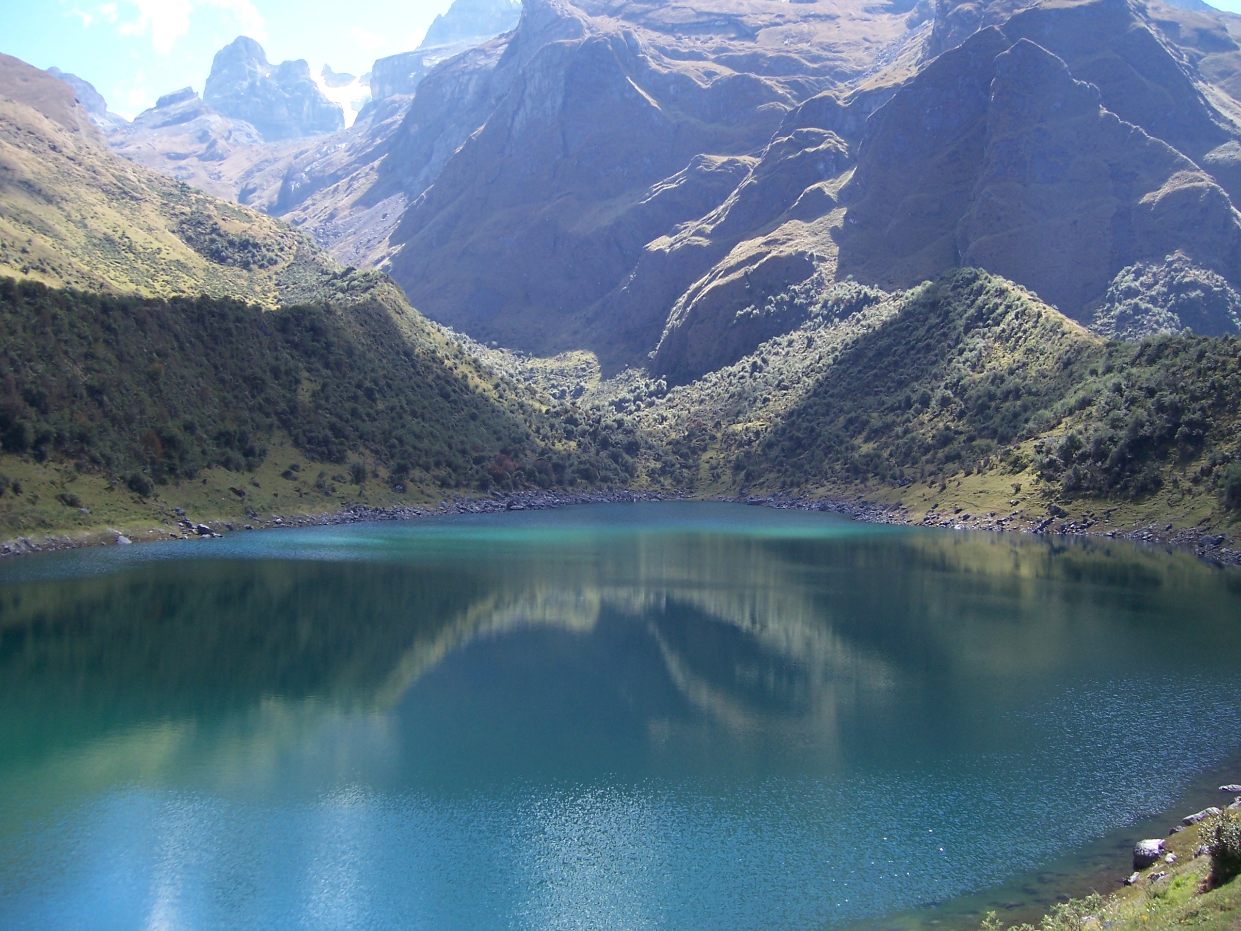 Ampay (in the background on the left) and the eastern slope of Q'illu Q'asa in front of it as seen from Usphaqucha | |
| Highest point | |
| Elevation | 5,000 m (16,000 ft)[1] |
| Coordinates | 13°34′30″S 72°55′06″W |
| Geography | |
 Q'illu Q'asa Peru | |
| Location | Peru, Apurímac Region |
| Parent range | Andes |
See also
- Ampay National Sanctuary
References
- escale.minedu.gob.pe - UGEL map of the Abancay Province (Apurímac Region)
- Teofilo Laime Ajacopa (2007). Diccionario Bilingüe Iskay simipi yuyayk’anch [Quechua-English dictionary] (PDF). La Paz, Bolivia.
This Apurímac Region geography article is a stub. You can help Wikipedia by expanding it. |
Текст в блоке "Читать" взят с сайта "Википедия" и доступен по лицензии Creative Commons Attribution-ShareAlike; в отдельных случаях могут действовать дополнительные условия.
Другой контент может иметь иную лицензию. Перед использованием материалов сайта WikiSort.org внимательно изучите правила лицензирования конкретных элементов наполнения сайта.
Другой контент может иметь иную лицензию. Перед использованием материалов сайта WikiSort.org внимательно изучите правила лицензирования конкретных элементов наполнения сайта.
2019-2026
WikiSort.org - проект по пересортировке и дополнению контента Википедии
WikiSort.org - проект по пересортировке и дополнению контента Википедии