geo.wikisort.org - Mountains
Ampay[1] is a 5,235-metre-high (17,175 ft)[1] mountain in the Andes of Peru. It is located in the Apurímac Region, Abancay Province, on the border of the districts of Abancay, Huanipaca and Tamburco. The mountain lies in the Ampay National Sanctuary.
| Ampay | |
|---|---|
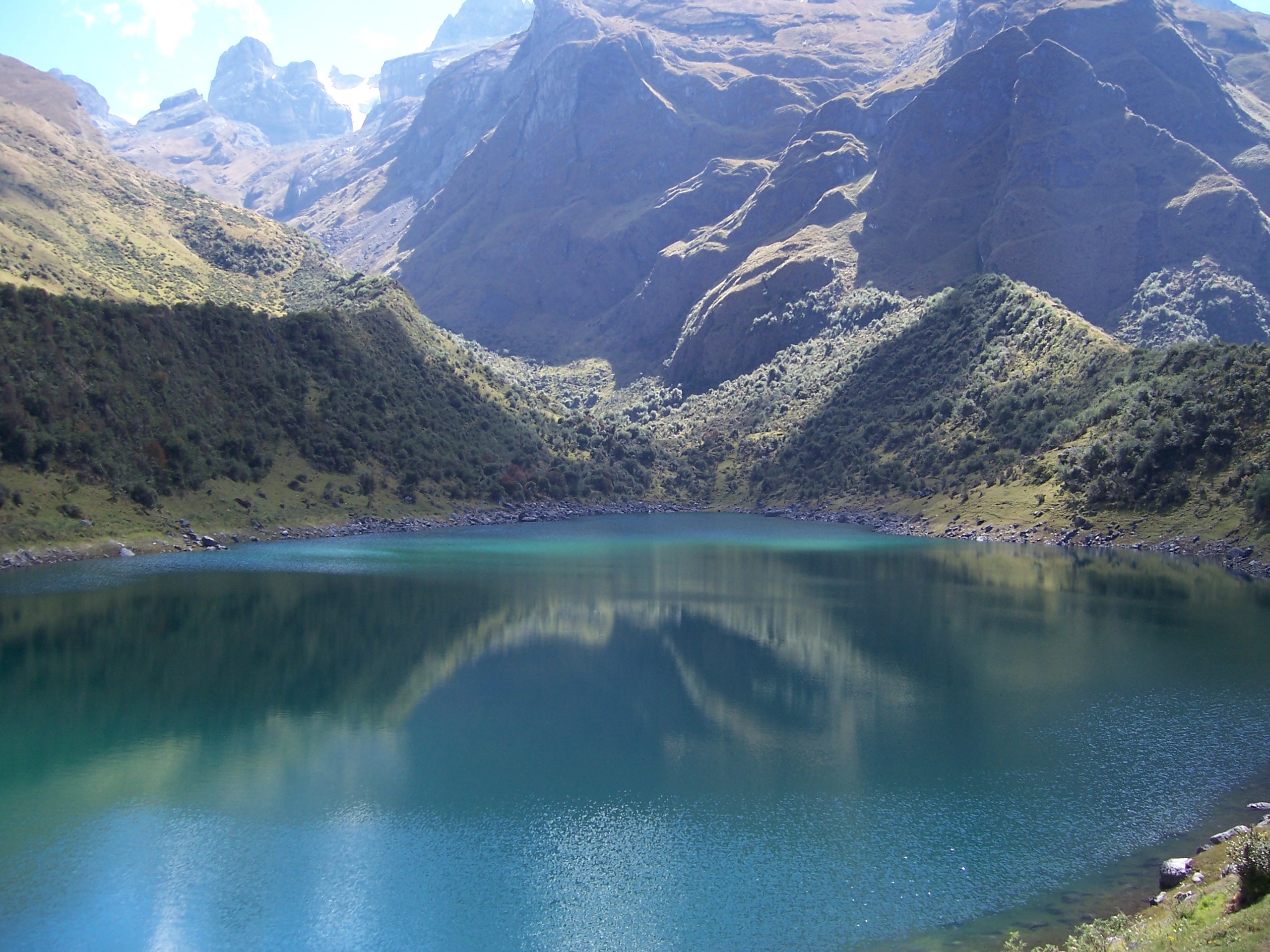 Ampay (in the background on the left) as seen from Usphaqucha | |
| Highest point | |
| Elevation | 5,236 m (17,178 ft) |
| Coordinates | 13°33′34″S 72°55′59″W |
| Geography | |
 Ampay Peru | |
| Location | Peru, Apurímac Region |
| Parent range | Andes |
An intermittent stream named Q'illu Yakuyuq (Quechua for "the one with yellow water", also spelled Ceelloyacuyoc) originates west of the mountain. It flows to the northwest.[1]
See also
- Usphaqucha
References
- Peru 1:100 000, Abancay (28-q). IGN (Instituto Geográfico Nacional - Perú).
This Apurímac Region geography article is a stub. You can help Wikipedia by expanding it. |
На других языках
[de] Ampay
Der Nevado Ampay ist ein 5235 m hoher Berg im Andenhochland von Südzentral-Peru in der Provinz Abancay der Region Apurímac. Der Berg und dessen Umgebung liegen im nationalen Schutzgebiet Ampay. Der Berg ist zum Teil vergletschert.- [en] Ampay
[es] Ampay
Ampay es una montaña del Perú con una altitud máxima de 5.235 msnm. Está situada en los Andes del Perú, en la Región Apurímac, provincia de Abancay. La montaña se encuentra en el Santuario Nacional de Ampay.[1][2][3][4][5]Текст в блоке "Читать" взят с сайта "Википедия" и доступен по лицензии Creative Commons Attribution-ShareAlike; в отдельных случаях могут действовать дополнительные условия.
Другой контент может иметь иную лицензию. Перед использованием материалов сайта WikiSort.org внимательно изучите правила лицензирования конкретных элементов наполнения сайта.
Другой контент может иметь иную лицензию. Перед использованием материалов сайта WikiSort.org внимательно изучите правила лицензирования конкретных элементов наполнения сайта.
2019-2026
WikiSort.org - проект по пересортировке и дополнению контента Википедии
WikiSort.org - проект по пересортировке и дополнению контента Википедии