geo.wikisort.org - Mountains
Piz Saluver (3,161 m) is a mountain of the Albula Alps, located west of Celerina in the canton of Graubünden. It lies between the Val Bever and the Val Saluver, both part of the Engadin.
| Piz Saluver | |
|---|---|
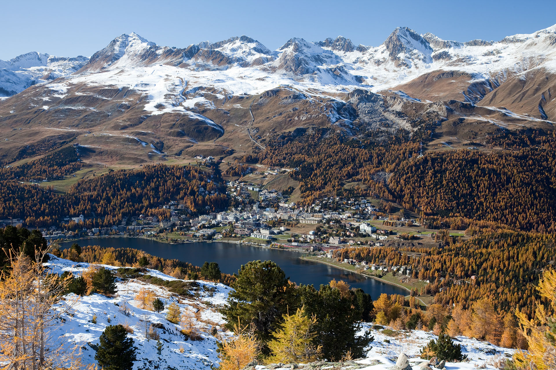 View from Muottas da Schlarigna with Piz Nair (left) and Piz Saluver (right) | |
| Highest point | |
| Elevation | 3,161 m (10,371 ft) |
| Prominence | 226 m (741 ft)[1] |
| Parent peak | Piz Ot |
| Coordinates | 46°31′50″N 9°47′44″E |
| Geography | |
 Piz Saluver Location in Switzerland | |
| Location | Graubünden, Switzerland |
| Parent range | Albula Alps |
References
- Retrieved from the Swisstopo topographic maps and Google Earth. The key col is located north-east of the summit at 2,935 metres.
External links
This Graubünden location article is a stub. You can help Wikipedia by expanding it. |
Текст в блоке "Читать" взят с сайта "Википедия" и доступен по лицензии Creative Commons Attribution-ShareAlike; в отдельных случаях могут действовать дополнительные условия.
Другой контент может иметь иную лицензию. Перед использованием материалов сайта WikiSort.org внимательно изучите правила лицензирования конкретных элементов наполнения сайта.
Другой контент может иметь иную лицензию. Перед использованием материалов сайта WikiSort.org внимательно изучите правила лицензирования конкретных элементов наполнения сайта.
2019-2025
WikiSort.org - проект по пересортировке и дополнению контента Википедии
WikiSort.org - проект по пересортировке и дополнению контента Википедии