geo.wikisort.org - Mountains
Piz Caschleglia is a mountain of the Swiss Lepontine Alps, located south of Curaglia in the canton of Graubünden. It lies north of Piz Medel, between the Val Medel and the Val Sumvitg.
| Piz Caschleglia | |
|---|---|
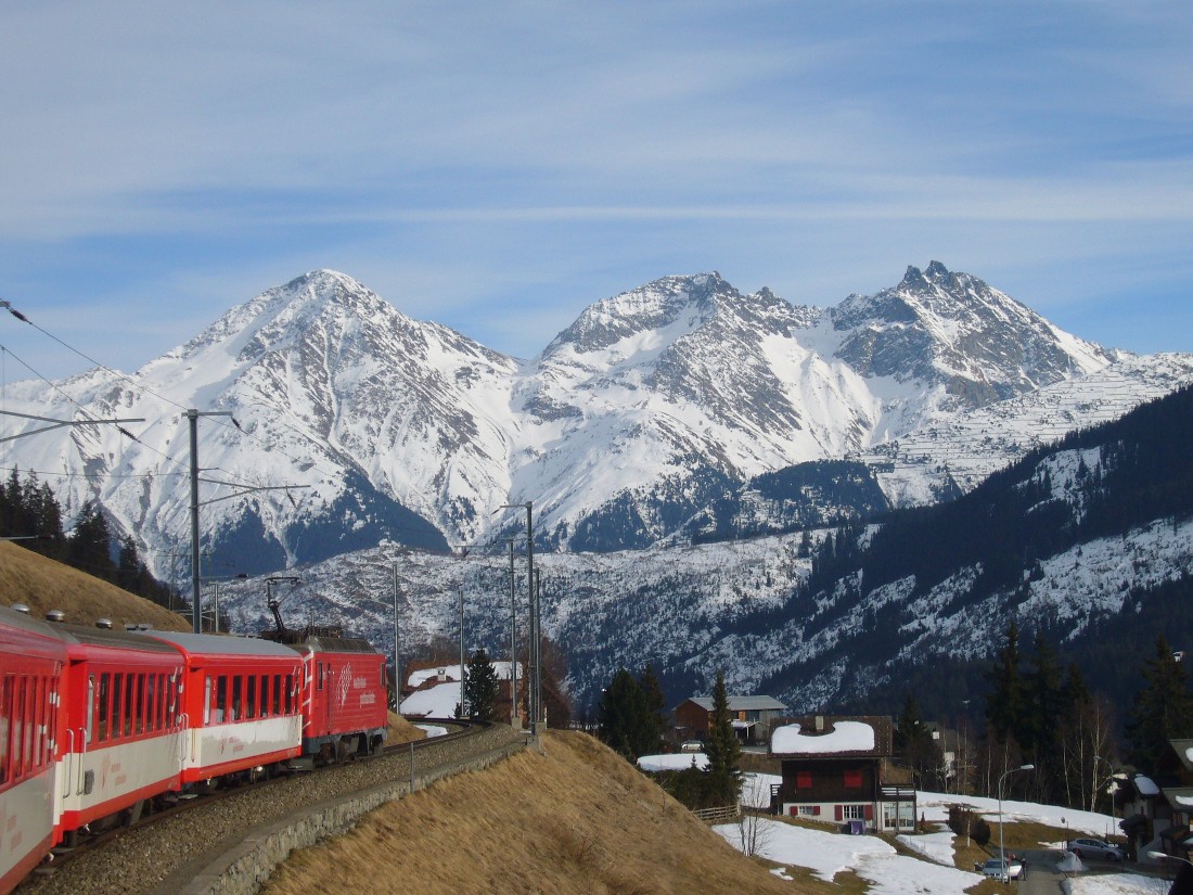 Piz Caschleglia (right peak) from the north side | |
| Highest point | |
| Elevation | 2,936 m (9,633 ft) |
| Prominence | 136 m (446 ft) [1] |
| Parent peak | Piz Miez |
| Coordinates | 46°39′05.6″N 8°54′15.9″E |
| Geography | |
 Piz Caschleglia Location in Switzerland | |
| Location | Graubünden, Switzerland |
| Parent range | Lepontine Alps |
References
- Retrieved from the Swisstopo topographic maps and Google Earth. The key col is the Fuorcla Encarden (2,800 m).
External links
This article about a mountain, mountain range, or peak located in Graubünden is a stub. You can help Wikipedia by expanding it. |
На других языках
[de] Piz Caschleglia
Der Piz Caschleglia ist ein Berg in den Bündner Alpen.- [en] Piz Caschleglia
Текст в блоке "Читать" взят с сайта "Википедия" и доступен по лицензии Creative Commons Attribution-ShareAlike; в отдельных случаях могут действовать дополнительные условия.
Другой контент может иметь иную лицензию. Перед использованием материалов сайта WikiSort.org внимательно изучите правила лицензирования конкретных элементов наполнения сайта.
Другой контент может иметь иную лицензию. Перед использованием материалов сайта WikiSort.org внимательно изучите правила лицензирования конкретных элементов наполнения сайта.
2019-2026
WikiSort.org - проект по пересортировке и дополнению контента Википедии
WikiSort.org - проект по пересортировке и дополнению контента Википедии