geo.wikisort.org - Mountains
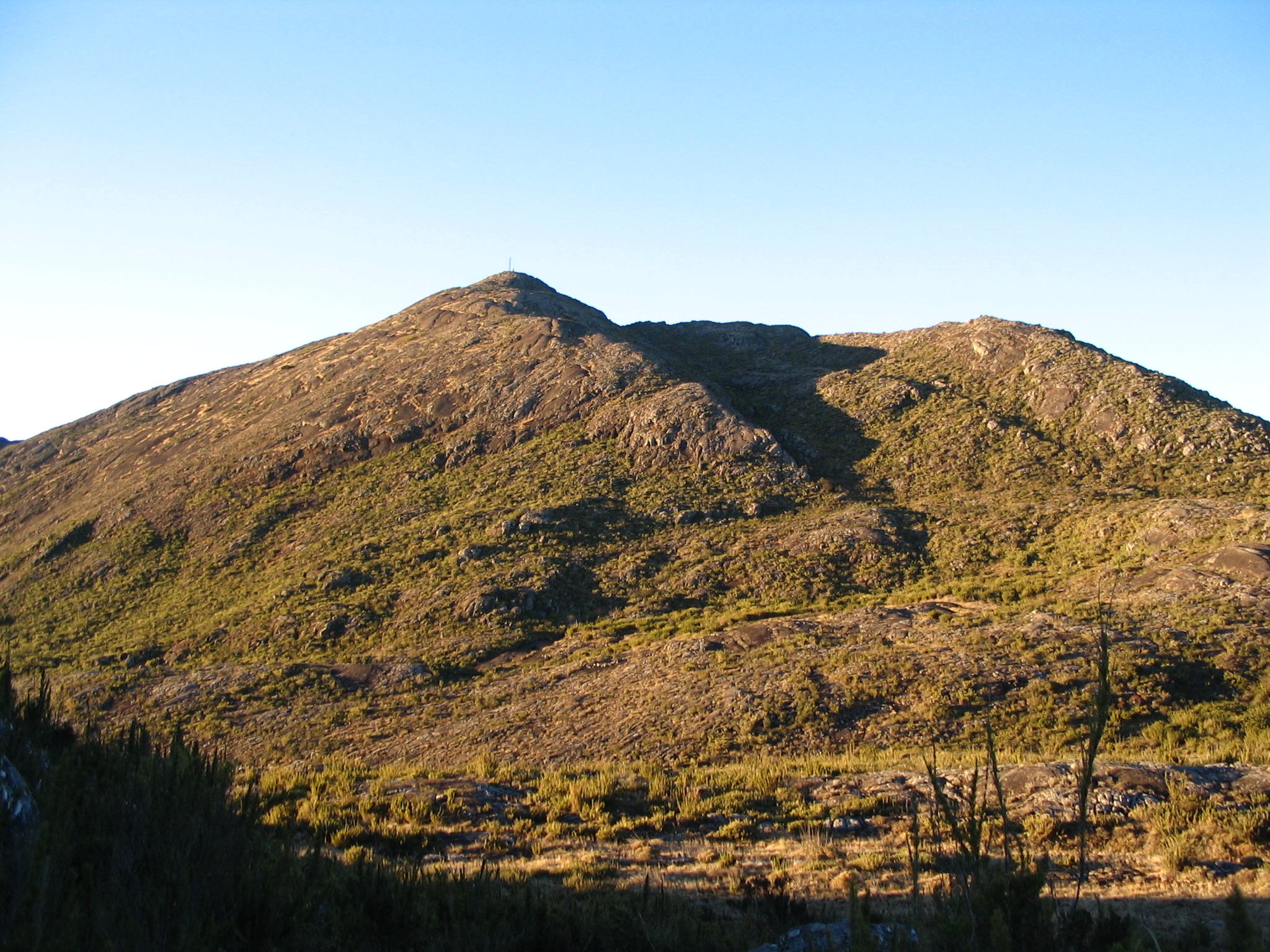
Pico da Bandeira, or Bandeira Peak (Portuguese for Flag Peak, pronounced [ˈpiku dɐ bɐ̃ˈdejɾɐ]) is the third highest mountain in Brazil, situated on the border of Espírito Santo and Minas Gerais states. It is the highest point in both states.[1] It was historically considered the highest mountain in Brazil until 1965, when Pico da Neblina and Pico 31 de Março, next to the Venezuelan border, were explored, measured, and both found to be higher. The peak is said to have been so named after Pedro II, Emperor of Brazil, ordered a flag to be flown on top of it.
This article needs additional citations for verification. (January 2009) |
| Pico da Bandeira | |
|---|---|
 | |
| Highest point | |
| Elevation | 2,892 m (9,488 ft)[1] |
| Prominence | 2,640 m (8,660 ft) |
| Isolation | 2,393 km (1,487 mi) |
| Listing | Ultra |
| Coordinates | 20°26′07″S 41°47′47″W[1] |
| Geography | |
 Pico da Bandeira Location in southeastern Brazil | |
| Location | Espírito Santo, Minas Gerais, Brazil |
| Climbing | |
| Easiest route | Alto Caparaó (Minas Gerais) |
Pico da Bandeira is also remarkable for being the Brazilian mountain with the greatest topographic isolation: 2,344 km (1,457 miles).[2] This means that at less than that distance, there is no other point on the surface of the Earth at equal or greater elevation. In the Americas, only Aconcagua, Denali, Pico de Orizaba and Mount Whitney are more topographically isolated than Pico da Bandeira, and in the entire world, there are only 20 more isolated mountains.[2]
It is one of the major attractions of Caparaó National Park (Portuguese: Parque Nacional do Caparaó), accessible from the nearby town of Alto Caparaó. That town and the entrance to the park lie in Minas Gerais, but the summit of Pico da Bandeira lies in Espírito Santo.
The summit is accessible to hikers of most age groups, with only very limited fitness requirements. The track from the park entrance to the summit track [8 km (5.0 mi)] can be driven by most vehicles, and the summit track itself runs for approximately 9 km (5.6 mi), with a further 1,000 m (3,280 ft) climb.
References
- "Pico da Bandeira". Peakbagger.com. Retrieved 2009-02-09.
- "World Peaks with 1000 km of Isolation". Peakbagger.com. Retrieved 2016-06-07.
This geographical article relating to Espírito Santo is a stub. You can help Wikipedia by expanding it. |
This geographical article relating to Minas Gerais is a stub. You can help Wikipedia by expanding it. |
На других языках
[de] Pico da Bandeira
Der Pico da Bandeira (übersetzt etwa „Fahnen-Spitze“) ist mit 2891,9 m der dritthöchste Berg Brasiliens. Der Pico da Bandeira befindet sich im Grenzgebiet der im Südosten Brasiliens gelegenen Bundesstaaten Minas Gerais und Espírito Santo im Gebirge Serra de Caparaó.- [en] Pico da Bandeira
[es] Pico da Bandeira
El pico da Bandeira es, con 2892 metros de altitud, el tercer punto más alto de Brasil. Se encuentra en el parque nacional Caparaó, en el municipio de Ibitirama en el estado de Espírito Santo, junto a la frontera con Minas Gerais.[fr] Pico da Bandeira
Le pico da Bandeira est le troisième point le plus haut du Brésil, avec 2 891 mètres d'altitude[1]. Il a été tenu jusqu'en 1965 comme le point culminant du pays avant que le Pico da Neblina et le Pico 31 de Março ne soient découverts et mesurés. Il est situé sur la limite entre le Minas Gerais et l'Espírito Santo dans la Serra do Caparaó. Le pico da Bandeira est le plus accessible des grands sommets brésiliens, car il existe des sentiers d'accès bien balisés tant du côté de l'Espírito Santo que de celui du Minas Gerais.[it] Pico da Bandeira
Il Pico da Bandeira (2.892 m s.l.m.) è una montagna del Brasile al confine tra gli Stati del Minas Gerais e dell'Espírito Santo.[ru] Бандейра
Банде́йра (порт. Bandeira) — горная вершина в Бразилии.Другой контент может иметь иную лицензию. Перед использованием материалов сайта WikiSort.org внимательно изучите правила лицензирования конкретных элементов наполнения сайта.
WikiSort.org - проект по пересортировке и дополнению контента Википедии