geo.wikisort.org - Mountains
Panola Mountain is a 100-acre (40 ha) granite monadnock near Stockbridge on the boundary between Henry County and Rockdale County, Georgia. The peak is 946 feet (288 m) above sea level, rising 260 feet (79 m) above the South River. The South River marks the boundary between Henry, Rockdale, and DeKalb counties. Due to its delicate ecological features, Panola Mountain was designated a National Natural Landmark in 1980.[1]
| Panola Mountain State Park | |
|---|---|
 Granite outcrop, Panola Mountain | |
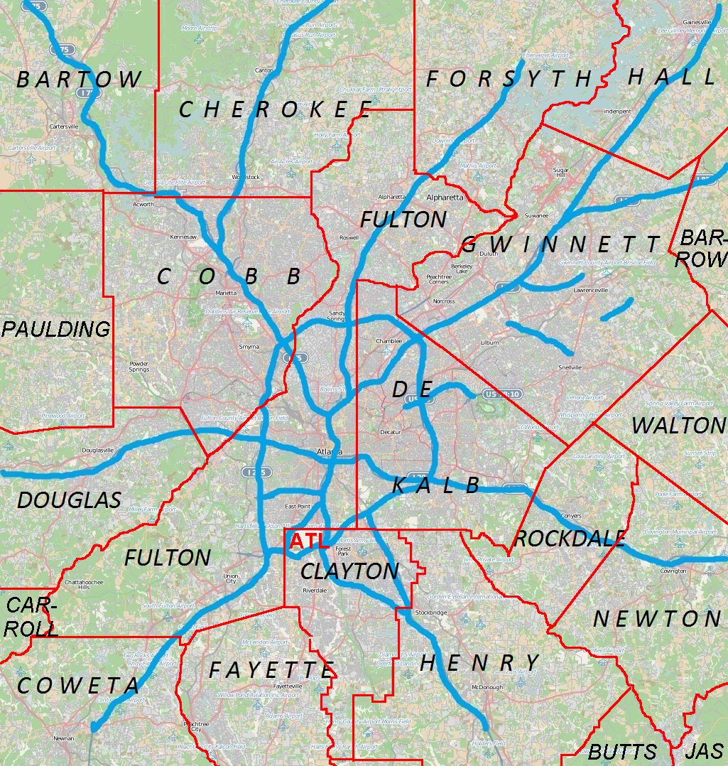   | |
| Location | Stockbridge, Georgia |
| Coordinates | 33°38′7″N 84°10′13″W |
| Area | 1,635 acres (6.62 km2) |
| gastateparks | |
U.S. National Natural Landmark | |
| Designated | 1980 |
References
- "Panola Mountain". nps.gov. National Park Service.
External links
 Media related to Panola Mountain at Wikimedia Commons
- Panola Mountain State Park
Authority control | |
|---|---|
| General |
|
| National libraries | |
Текст в блоке "Читать" взят с сайта "Википедия" и доступен по лицензии Creative Commons Attribution-ShareAlike; в отдельных случаях могут действовать дополнительные условия.
Другой контент может иметь иную лицензию. Перед использованием материалов сайта WikiSort.org внимательно изучите правила лицензирования конкретных элементов наполнения сайта.
Другой контент может иметь иную лицензию. Перед использованием материалов сайта WikiSort.org внимательно изучите правила лицензирования конкретных элементов наполнения сайта.
2019-2026
WikiSort.org - проект по пересортировке и дополнению контента Википедии
WikiSort.org - проект по пересортировке и дополнению контента Википедии